1
/
of
1
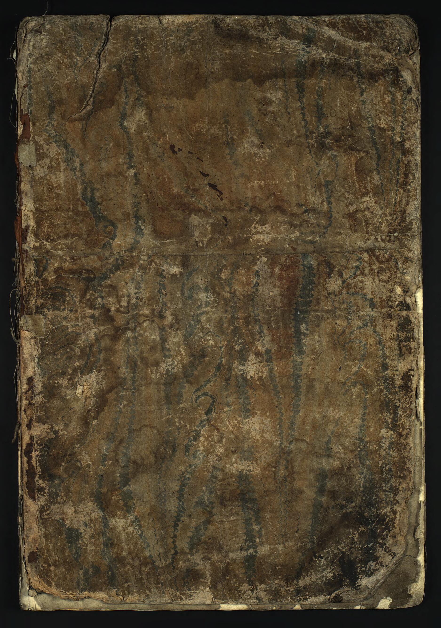
Atlas Na Nekotorye Mestnichestva Rossiĭskoĭ Imperii, Soderzhashchiĭ 9 Landkart I Odin Plan Goroda Irkutska S Krepostt︠s︡ami. (Атлас на некоторые местничества Российской Империи, содержащий ...
- Regular price
-
$19.95 - Regular price
-
$29.95 - Sale price
-
$19.95
Couldn't load pickup availability
90-Day Satisfaction Guarantee & Free Returns
About This Map
Discover the timeless beauty of our fine art quality printed reproduction of this antique map. Perfect for history enthusiasts, collectors, and interior decorators.
Restored with meticulous attention to detail by our team with over a decade of experience, this stunning reproduction captures the intricate artistry and historical significance of the original map.
Whether you're a collector or seeking a unique decor piece, this archival-quality map reproduction is a timeless addition to any space. Order now to bring history to life!
Old map of Russian Federation.This item consists of nine maps from the eighteenth and nineteenth centuries. Each map is printed on several pages and depicts parts of the Siberian territory of the Russian Empire. World Digital Library.
Created by M. Zinov'ev in 1730.
- Plan Irkutska (1728 g.) sostavlen M. Zinov'evym. Ėto pervyĭ topograficheskiĭ plan Irkutska.
- Karta Vostochnoĭ Sibiri nazvana tak: "Novai︠a︡ landkarta razgranichenii︠a︡ mezhdu Rossiĭskoĭ imperieĭ, Sibirskim zemli︠a︡mi, kitaĭskogo vladenii︠a︡ s mungal'skimi zemlit︠s︡ami. Uchinena cherez posol'stvo taĭnogo sovetnika i polnomochnogo ministra iliricheskogo grafa Savvy Vladislavovicha v 1728 godu". Ta zhe nadpis' povtorena po-latyni v kartushe v verkhneĭ chasti lista. V vykhodnykh dannykh sostavitel' ne upominaetsi︠a︡, no mozhno predpolozhit', chto im byl geodezist M. Zinov'ev - uchastnik posol'stva Savvy Raguzinskogo v Kitaĭ.
- Allegoricheskie figury simvolizirui︠u︡t osnovnye zani︠a︡tii︠a︡ sibirskogo naselenii︠a︡: zemledelie, skotovodstvo, rybolovstvo, okhotu, torgovli︠u︡.
- Original map at: Irkutsk State University
- План Иркутска (1728 г.) составлен М. Зиновьевым. Это первый топографический план Иркутска.
- Карта Восточной Сибири названа так: "Новая ландкарта разграничения между Российской империей, Сибирским землями, китайского владения с мунгальскими землицами. Учинена через посольство тайного советника и полномочного министра илирического графа Саввы Владиславовича в 1728 году". Та же надпись повторена по-латыни в картуше в верхней части листа. В выходных данных составитель не упоминается, но можно предположить, что им был геодезист М. Зиновьев - участник посольства Саввы Рагузинского в Китай.
- Аллегорические фигуры символизируют основные занятия сибирского населения: земледелие, скотоводство, рыболовство, охоту, торговлю.
Map Tags
1730
Angara
Baĭkal
Irkut
Irkutsk
M. Zinov'ev
Map
Okhota
Russian Federation
Rybolovstvo
Rynok
Skotovodstvo
Tamozhni︠a
Torgovli︠a
Zemledelie
Secure Checkout
Lifetime Warranty
Money-Back Guarantee

Map Sizing Information
- For the best legibility, order your map in the original size or larger. Most maps have intricate detail and small text that is best appreciated when the print size hasn't been reduced.
- Sizes labeled "Fits a Standard Frame" will drop right into any frame that you purchase in that size. The sizes that we offer are commonly available online and at most retail stores.
- Our standard sizes are recommendations based on the aspect ratio of the original map, but still may require some added "white space" in one dimension to fit.
- Non-standard sizes will require custom framing, and we suggest taking your print to the frame shop of your choice after you receive it for the best results.
- Custom sizes are available, simply contact us for a quote.
Below is an approximation of the scale of a few standard sizes, and how they might appear in your space.


