
A Mercator Map of the Starry Heavens : Comprehending the Whole Equinoctial and Terminated by the Polar Circles 1810
- Regular price
-
$49.95 - Regular price
-
$29.95 - Sale price
-
$49.95
Buy one map, get any other map in our collection for 50% OFF! Add to cart to see discount.
Couldn't load pickup availability
About This Map
Discover the timeless beauty of our fine art quality printed reproduction of this antique map. Perfect for history enthusiasts, collectors, and interior decorators.
Restored with meticulous attention to detail by our team with over a decade of experience, this stunning reproduction captures the intricate artistry and historical significance of the original map.
Whether you're a collector or seeking a unique decor piece, this archival-quality map reproduction is a timeless addition to any space. Order now to bring history to life!
Old celestial chart of Universe.Created by William Croswell, Thomas Wightman in 1810.
- Shows the path of the Great Comet of 1807, several planets, and the introduction of two constellations: Sciurus Volans (Flying Squirrel) and Marmor Sculptile (Bust of Columbus).
- Relief shown pictorially.
- Pen-and-ink.
- "Publish'd according to Act of Congress."
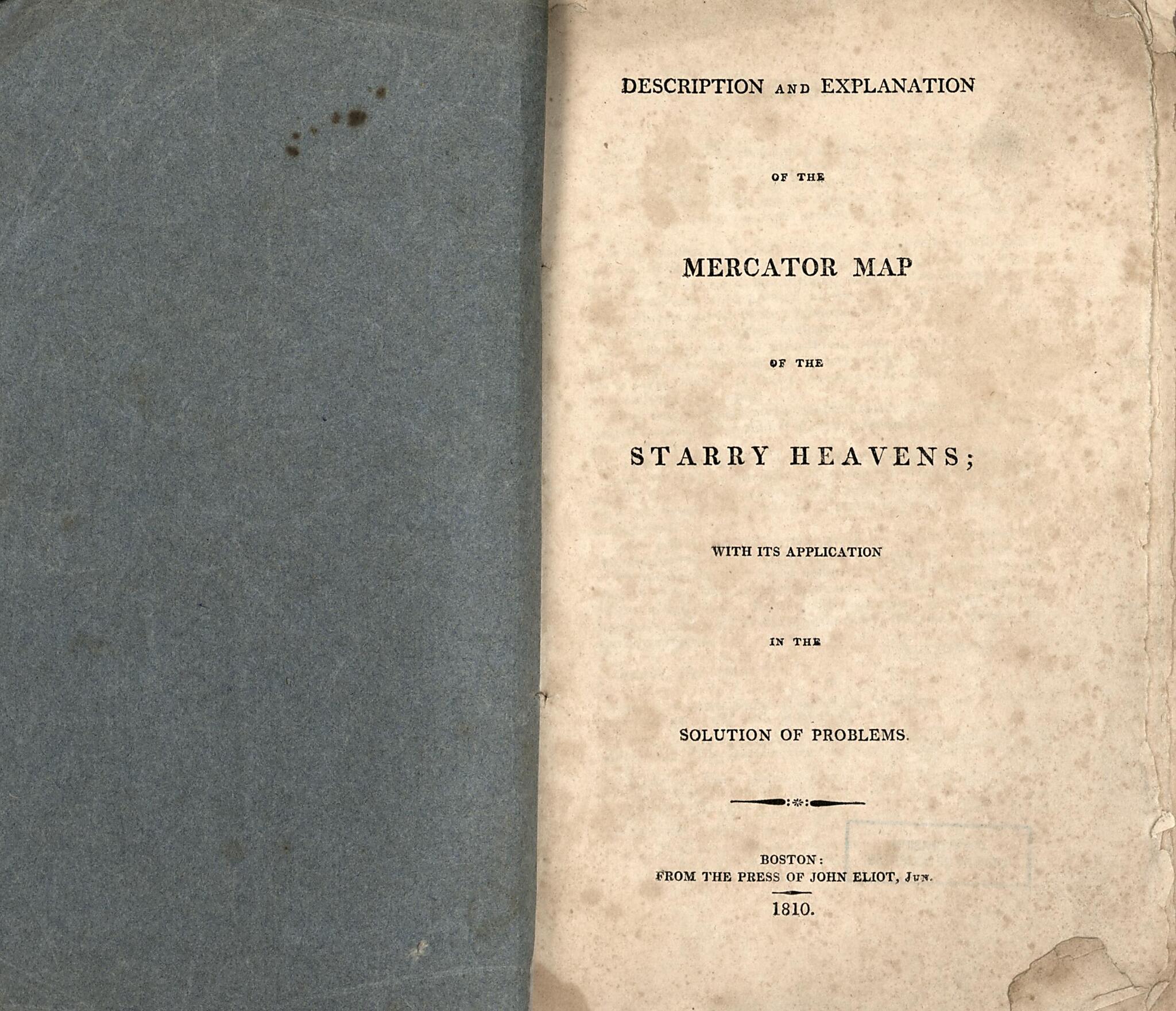
- Accompanied by text: Description and exploration of the Mercator map of the starry heavens : with its application in the solutions of problems. 30 p. : ill. ; 24 cm.
- Includes text and tables of information in left and right margins.
- Annotated in pencil on verso: Map of the heavens.
Map Subjects
Astronomy
Celestial Charts
Charts Diagrams Etc
Comets
Constellations
Stars
Universe
William Croswell
Thomas Wightman
1810
- For the best legibility, order your map in the original size or larger. Most maps have intricate detail and small text that is best appreciated when the print size hasn't been reduced.
- Sizes labeled "Fits a Standard Frame" will drop right into any frame that you purchase in that size. The sizes that we offer are commonly available online and at most retail stores.
- Our standard sizes are recommendations based on the aspect ratio of the original map, but still may require some added "white space" in one dimension to fit.
- Non-standard sizes will require custom framing, and we suggest taking your print to the frame shop of your choice after you receive it for the best results.
- Custom sizes are available, simply contact us for a quote.
Below is an approximation of the scale of a few standard sizes, and how they might appear in your space.

