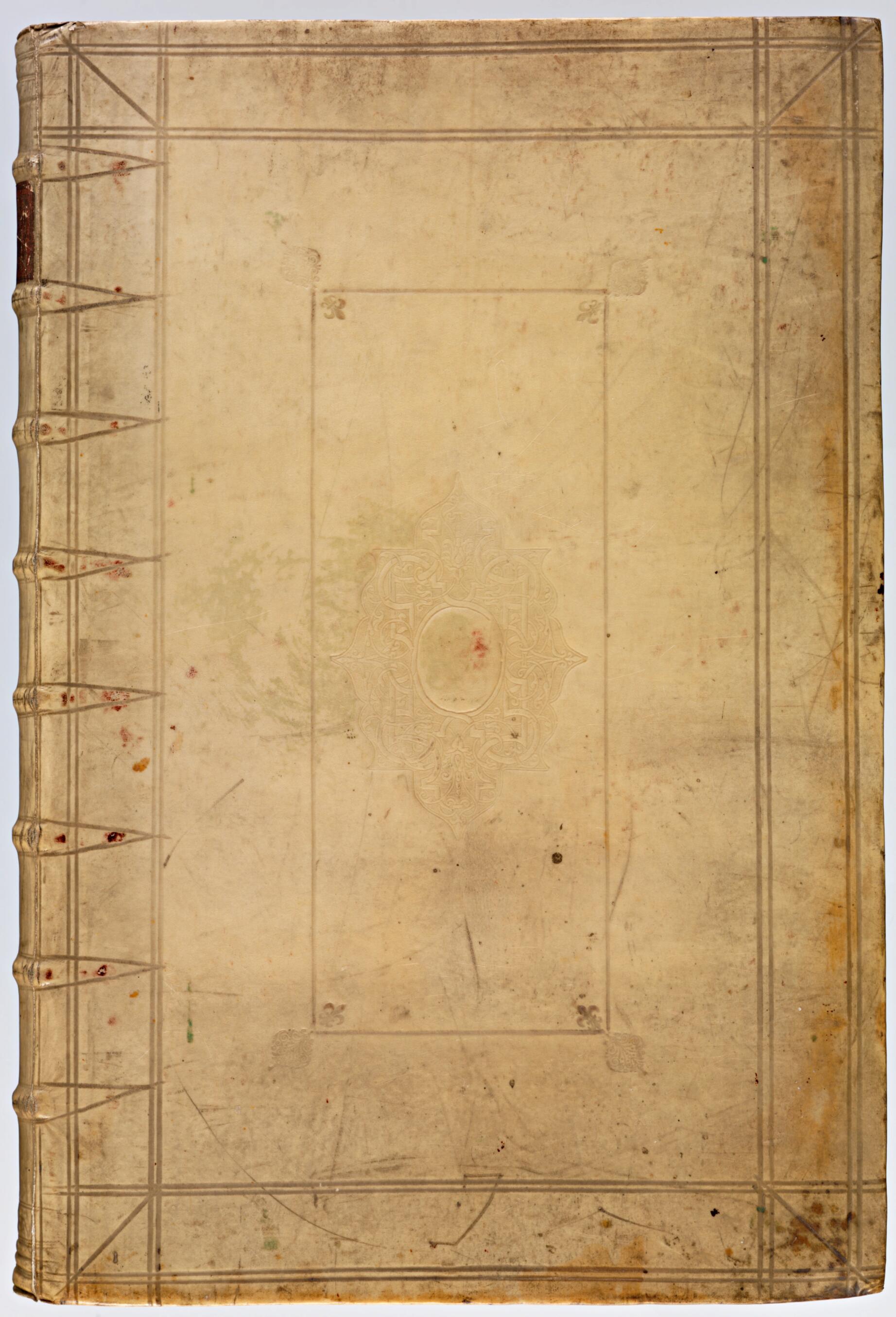
Accurately Delineated Ichnographic Plans of All the Cities and Towns In the 17 Provinces of the Netherlands. (Theatrum Ichnographicum Omnium Urbium Et Præcipuorum Oppidorum Belgicarum XVII) 1699
- Regular price
-
$31.95 - Regular price
-
$49.95 - Sale price
-
$31.95
Ships for FREE
Limited Time: Buy one map, get one map 50% off! Discount shown in cart.
Couldn't load pickup availability
90-Day Satisfaction Guarantee, Free Returns & Lifetime Warranty
About This Map
Discover the timeless beauty of our fine art quality printed reproduction of this antique map. Perfect for history enthusiasts, collectors, and interior decorators.
Restored with meticulous attention to detail by our team with over a decade of experience, this stunning reproduction captures the intricate artistry and historical significance of the original map.
Whether you're a collector or seeking a unique decor piece, this archival-quality map reproduction is a timeless addition to any space. Order now to bring history to life!
Old map of Belgium, Netherlands.1706), an influential cartographer, engraver, and publisher in Amsterdam. Such atlases were popular among wealthy members of the bourgeoisie and nobility in the 17th century. The huge tomes were not designed to be carried on a stroll through the city; this particular atlas weighs more than seven kilograms. The maps are extremely detailed, which makes them perfect for "armchair tourism." The map of Haarlem, for example, offers a very good impression of the old city center. Even today residents can easily identify their own homes on the map. In the 16th century, Antwerp was the center of European cartography. When King Philip II of Spain captured Antwerp in 1585 during the Dutch Revolt against Spanish rule, many cartographers headed north, and Amsterdam became the new cartographic capital. To survey an area for the purpose of drawing new maps, a land surveyor would walk through the city streets and measure the length of the straight stretches by counting the number of steps or by using a geodetic chain or Gunter's measurement. At each curve and intersection the surveyor took a compass reading or used a geometric square or a circumferentor (a predecessor of the theodolite), known locally as a Hollandse cirkel or "Holland circle," to measure the angles of the streets. This generated a network of line segments that formed the framework of the map. Houses, canals, trees, and sometimes even people then were sketched onto this skeleton. The result bears little resemblance to the maps we use today. The difference is due to the fact that the buildings are drawn in a form of three-dimensional projection, on a slanted parallel. The street plan is shown from above, as in modern city maps, but buildings and other objects are depicted from a side perspective. Some maps in the atlas, e.g., the map of Antwerp, were drawn from a bird's-eye view. After the artist had sketched the map, an engraver copied the lines onto a copper plate in mirror image, either by engraving (cutting) or etching (treating the lines with acid). Printing an engraved map was a labor-intensive undertaking. It meant covering the entire plate in ink and then cleaning the surface meticulously so no ink was left anywhere except in the grooves. Then the plate would be printed on slightly damp paper. In that era, it was only possible to print in one color at a time. Clients who wanted their maps in color could have them hand-colored by artists known as "offsetters." The copy of the De Wit Atlas held by the National Library of the Netherlands has been colored by hand, although the best-known copies are simply in black and white.
Created by Frederik De Wit in 1699.
- Title devised, in English, by Library staff.
- Original resource at: National Library of the Netherlands.
- Content in French and Latin and Dutch.
- Description based on data extracted from World Digital Library, which may be extracted from partner institutions.
Map Tags
1699
1699 To 1706
Aerial Views
Belgium
Cities And Towns
Frederik De Wit
Map
Netherlands

- For the best legibility, order your map in the original size or larger. Most maps have intricate detail and small text that is best appreciated when the print size hasn't been reduced.
- Sizes labeled "Fits a Standard Frame" will drop right into any frame that you purchase in that size. The sizes that we offer are commonly available online and at most retail stores.
- Our standard sizes are recommendations based on the aspect ratio of the original map, but still may require some added "white space" in one dimension to fit.
- Non-standard sizes will require custom framing, and we suggest taking your print to the frame shop of your choice after you receive it for the best results.
- Custom sizes are available, simply contact us for a quote.
Below is an approximation of the scale of a few standard sizes, and how they might appear in your space.


