Skip to product information
1 of 1

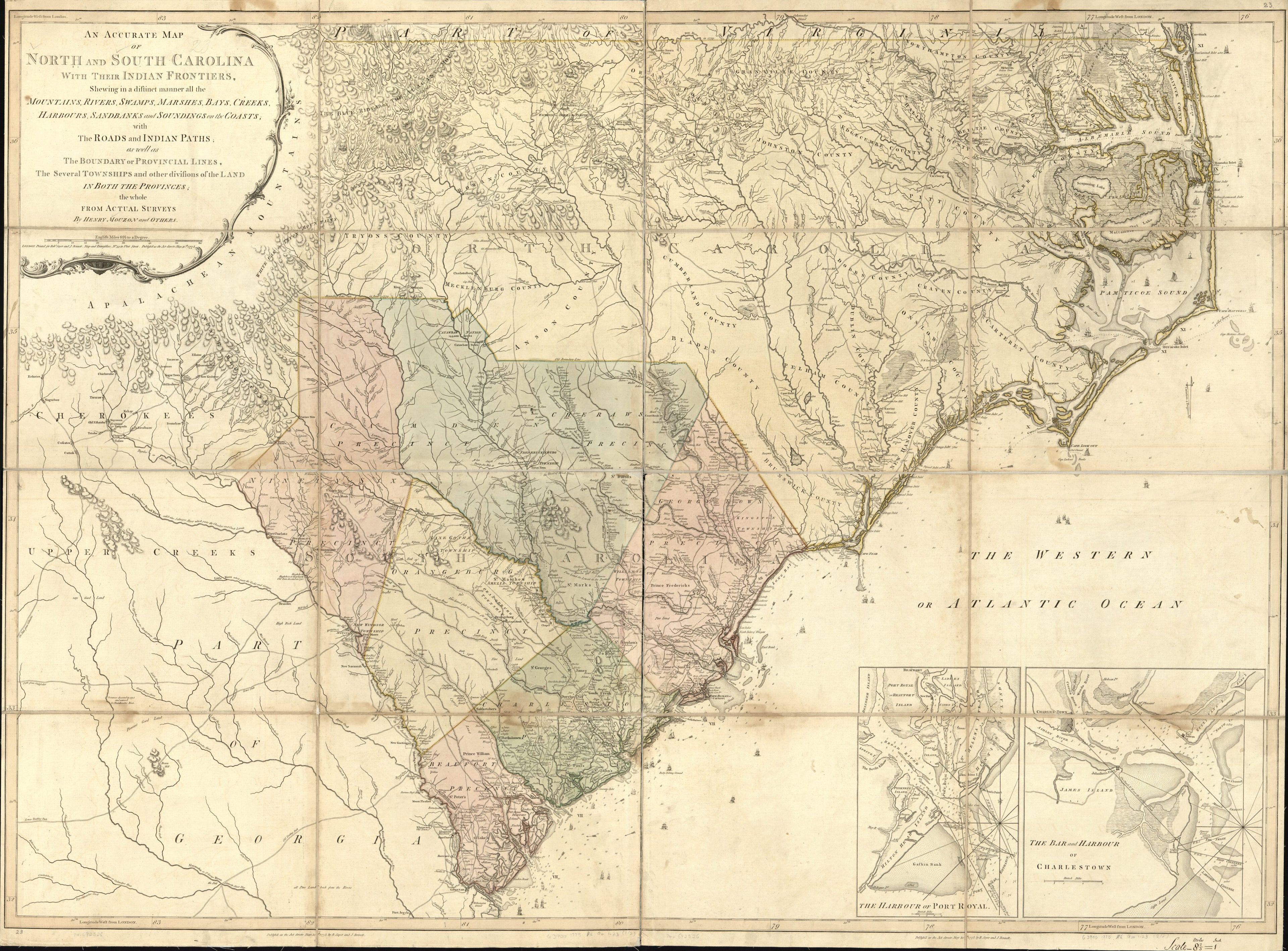
An Accurate Map of North and South Carolina With Their Indian Frontiers, Shewing In a Distinct Manner All the Mountains, Rivers, Swamps, Marshes, Bays, Creeks, Harbours, Sandbanks and Soundings On the Coasts; With the Roads and Indian Paths; As Well A...

Regular price
$212.95
Regular price
$260.95
Sale price
$212.95
Map Description
Old map of Beaufort, Charleston, Charleston Harbor, North Carolina, Sea Islands, South Carolina, United States.

Created by Henry Mouzon, Robert Sayer and John Bennett (Firm) in 1775.
  • Scale ca. 1:530,000.
  • Hand colored.
  • Sectioned and mounted on cloth backing.
  • "Longitude west from London."
  • Relief shown by hachures. Depths shown by soundings.
  • Shows precinct boundaries.
  • Insets: The harbour of Port Royal [ca. 1:200,000]--The bar and harbour of Charlestown [ca. 1:75,000]

Map Tags

1775

Administrative And Political Divisions

Beaufort

Charleston

Charleston Harbor

Charleston Harbor (S.C.)

Early Works To 1800

Harbors

Henry Mouzon

Map

Maps

North Carolina

Robert Sayer And John Bennett (Firm)

Sea Islands

South Carolina

United States

Fine Art Quality Printed on heavyweight (230 gsm) archival paper with a classic matte finish
Professionally Restored For the best presentation, your map will be carefully retouched by our experienced team
Free Shipping Orders of $75 or more ship for free and arrive in 3-5 business days
Proudly Made in the USA All of our maps are custom printed to order in Portland, Maine
Help with Choosing a Map Size
Secure Checkout
Lifetime Warranty
Money-Back Guarantee
This old map of An Accurate Map of North and South Carolina With Their Indian Frontiers, Shewing In a Distinct Manner All the Mountains, Rivers, Swamps, Marshes, Bays, Creeks, Harbours, Sandbanks and Soundings On the Coasts; With the Roads and Indian Pat