
An Historical Atlas, In a Series of Maps of the World As Known at Different Periods, Constructed Upon an Uniform Scale, and Coloured According to the Political Changes of Each Period (Historical Atlas) 1846
- Regular price
-
$49.95 - Regular price
-
$29.95 - Sale price
-
$49.95
Buy one map, get any other map in our collection for 50% OFF! Add to cart to see discount.
Couldn't load pickup availability
About This Map
Discover the timeless beauty of our fine art quality printed reproduction of this antique map. Perfect for history enthusiasts, collectors, and interior decorators.
Restored with meticulous attention to detail by our team with over a decade of experience, this stunning reproduction captures the intricate artistry and historical significance of the original map.
Whether you're a collector or seeking a unique decor piece, this archival-quality map reproduction is a timeless addition to any space. Order now to bring history to life!
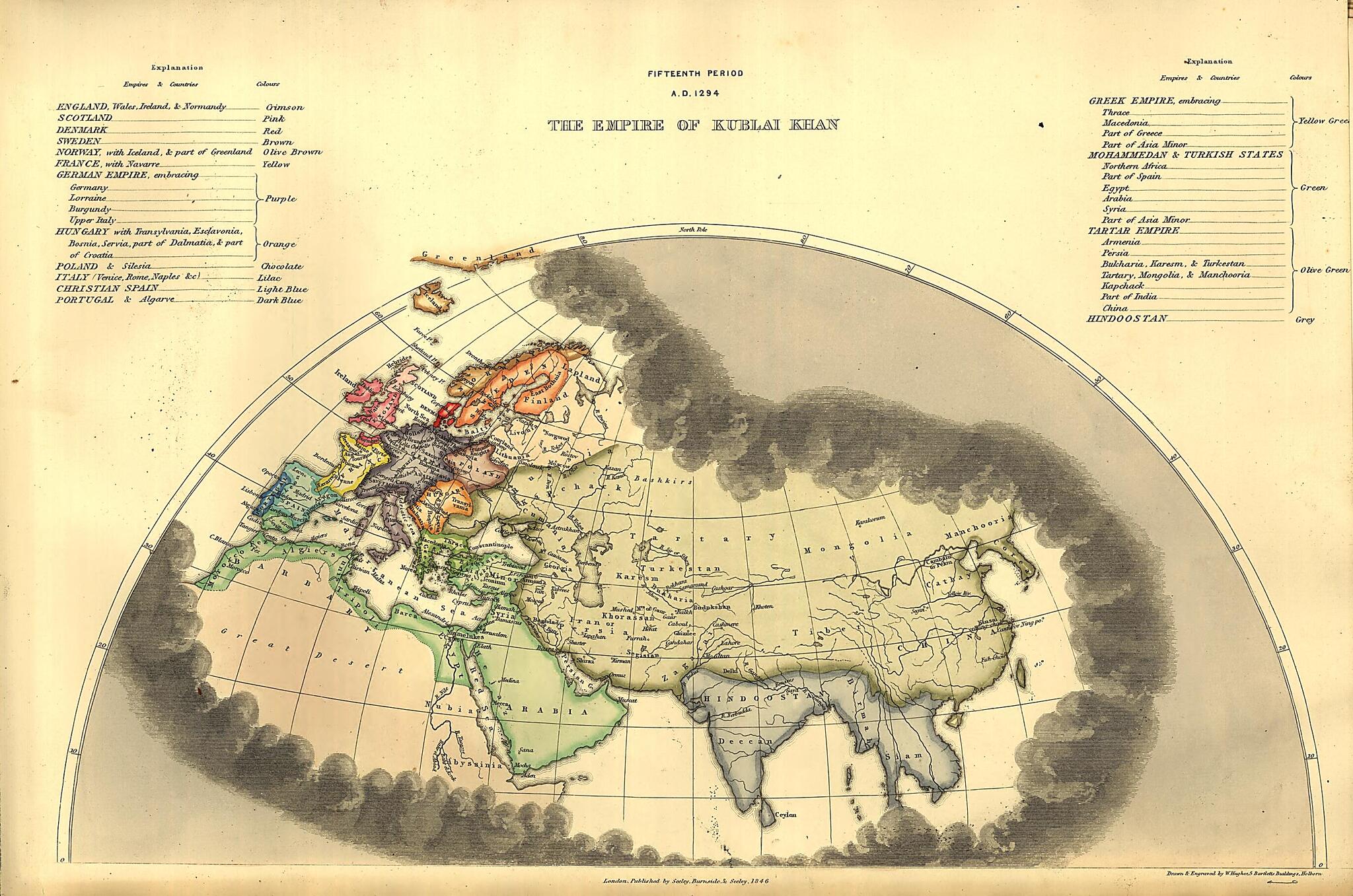
Old world atlase of Earth, Great Britain.Created by William Hughes, Edward Quin in 1846.
- "The description and historical portion of this work will be found in a volume entitled Universal history, by Edward Quin" [issued in 1838 (i.e. 1837) reprinted from the first edition of the Historical atlas, published in 1830] cf. Dict. nat. biog. and Lowndes.
- Maps show only the known parts of the world for each period. Plates otherwise graphically obscure the rest of the world with opaque clouds.
- Phillips, 141
Map Subjects
Atlases
Earth
Great Britain
Historical Geography
World Atlases
William Hughes
Edward Quin
1846
- For the best legibility, order your map in the original size or larger. Most maps have intricate detail and small text that is best appreciated when the print size hasn't been reduced.
- Sizes labeled "Fits a Standard Frame" will drop right into any frame that you purchase in that size. The sizes that we offer are commonly available online and at most retail stores.
- Our standard sizes are recommendations based on the aspect ratio of the original map, but still may require some added "white space" in one dimension to fit.
- Non-standard sizes will require custom framing, and we suggest taking your print to the frame shop of your choice after you receive it for the best results.
- Custom sizes are available, simply contact us for a quote.
Below is an approximation of the scale of a few standard sizes, and how they might appear in your space.
