
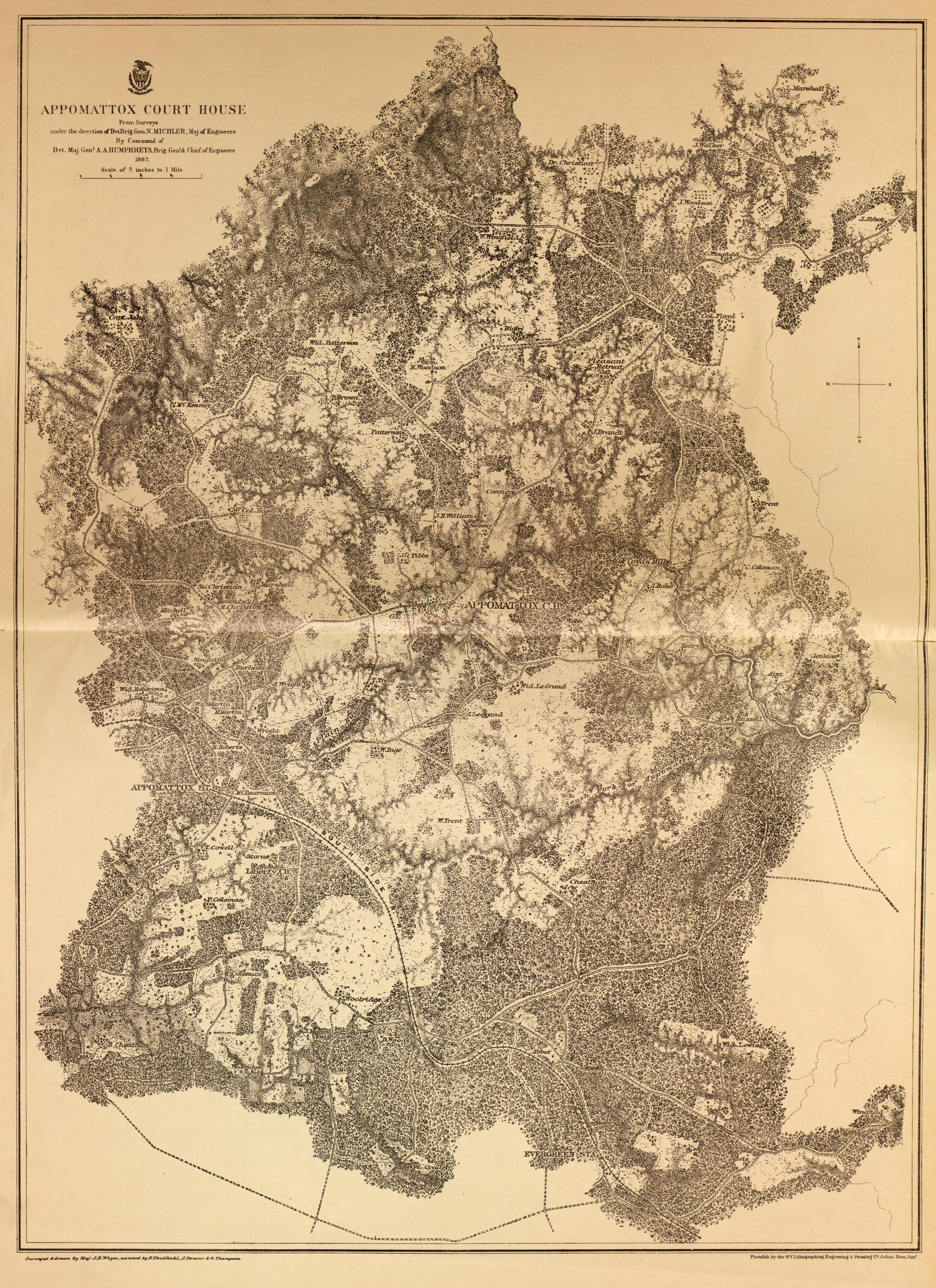
Appomattox Court House, Va., 1867 from Military Maps of the United States 1883
- Regular price
-
$49.95 - Regular price
-
$36.95 - Sale price
-
$49.95
Buy one map, get any other map in our collection for 50% OFF! Add to cart to see discount.
Couldn't load pickup availability
About This Map
Appomattox Court House, Va., 1867 map is a finely reproduced piece from the Military Maps of the United States 1883 collection. This antique map is now offered as an archival-quality print, ideal for history enthusiasts, collectors, and interior decorators seeking a tangible link to Civil War events. Meticulously restored by our team with over a decade of experience, this antique map reproduction preserves the original’s delicate linework, textures, and historical context.
Perfect for study spaces or gallery walls, this history wall art delivers both aesthetic appeal and informational value. The reproduction faithfully mirrors contours, hachures, and spot heights found in the 1883 edition, with depth contours where applicable, and includes the title from the spine. It represents maps dated 1862–1883, bound in a LeGear Atlases collection and featuring a comprehensive contents list for quick reference to battles and campaigns.
- Archival-quality print on durable paper for long-lasting display
- Exact reproduction of contour lines, hachures, spot heights, and depth cues
- Ideal for classrooms, libraries, and refined home spaces
- Great for researching routes, battles, and geographic context of 1860s America
Enhance your collection with a piece of history—order this Appomattox Court House map today and enjoy a timeless centerpiece that sparks conversation and curiosity.
- For the best legibility, order your map in the original size or larger. Most maps have intricate detail and small text that is best appreciated when the print size hasn't been reduced.
- Sizes labeled "Fits a Standard Frame" will drop right into any frame that you purchase in that size. The sizes that we offer are commonly available online and at most retail stores.
- Our standard sizes are recommendations based on the aspect ratio of the original map, but still may require some added "white space" in one dimension to fit.
- Non-standard sizes will require custom framing, and we suggest taking your print to the frame shop of your choice after you receive it for the best results.
- Custom sizes are available, simply contact us for a quote.
Below is an approximation of the scale of a few standard sizes, and how they might appear in your space.

