
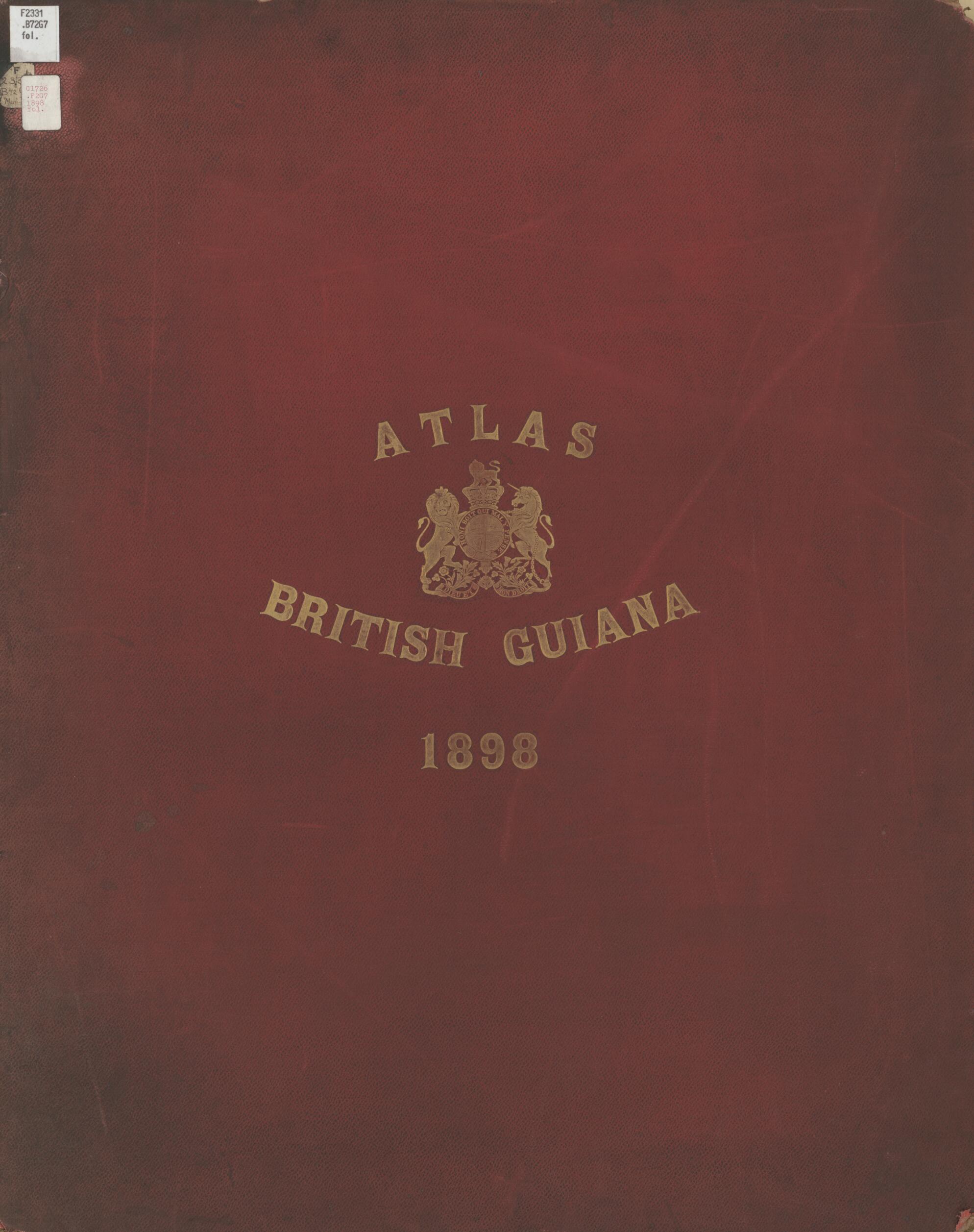
Atlas to Accompany the Case Presented On the Part of Her Britannic Majesty to the Arbitral Tribunal Between Great Britain and the United States of Venezuela Constituted Under the Provisions of a Treaty Ratified at Washington On June 14th, 1897 1898
- Regular price
-
$72.95 - Regular price
-
$67.95 - Sale price
-
$72.95
Buy one map, get any other map in our collection for 50% OFF! Add to cart to see discount.
Couldn't load pickup availability
About This Map
Discover the timeless beauty of our fine art quality printed reproduction of this antique map. Perfect for history enthusiasts, collectors, and interior decorators.
Restored with meticulous attention to detail by our team with over a decade of experience, this stunning reproduction captures the intricate artistry and historical significance of the original map.
Whether you're a collector or seeking a unique decor piece, this archival-quality map reproduction is a timeless addition to any space. Order now to bring history to life!
Old map of Guyana.Created by John Charles Ardagh, Samuel Charles Norton Grant, Great Britain, Great Britain. War Office. Intelligence Division, Robert H. (Robert Hermann) Schomburgk in 1898.
- On cover: Atlas British Guiana 1898.
- Compiled under the supervision of Major S. C. N. Grant, in the Intelligence division of the War office. Major-Gen. Sir John Ardagh, director of military intelligence.
- Consists chiefly of reproductions of maps (34 in number) pub. from 1599 to 1846. Arranged in chronological order, except those by Sir Robert Schomburgk, which are grouped together at the end. At the commencement in a geographical map, specially compiled for this Atlas. cf. [Pref.]
- For the best legibility, order your map in the original size or larger. Most maps have intricate detail and small text that is best appreciated when the print size hasn't been reduced.
- Sizes labeled "Fits a Standard Frame" will drop right into any frame that you purchase in that size. The sizes that we offer are commonly available online and at most retail stores.
- Our standard sizes are recommendations based on the aspect ratio of the original map, but still may require some added "white space" in one dimension to fit.
- Non-standard sizes will require custom framing, and we suggest taking your print to the frame shop of your choice after you receive it for the best results.
- Custom sizes are available, simply contact us for a quote.
Below is an approximation of the scale of a few standard sizes, and how they might appear in your space.

