
Atlas With Portolan Charts of the Old World and New World, 1580. (Portulano)
- Regular price
-
$60.95 - Regular price
-
$55.95 - Sale price
-
$60.95
Buy one map, get any other map in our collection for 50% OFF! Add to cart to see discount.
Couldn't load pickup availability
About This Map
Discover the timeless beauty of our fine art quality printed reproduction of this antique map. Perfect for history enthusiasts, collectors, and interior decorators.
Restored with meticulous attention to detail by our team with over a decade of experience, this stunning reproduction captures the intricate artistry and historical significance of the original map.
Whether you're a collector or seeking a unique decor piece, this archival-quality map reproduction is a timeless addition to any space. Order now to bring history to life!
16th-century cartographic masterpieces, which reflect the period's rising demand for cartographic works that were both visually impressive and useful for practical navigation. The atlas was commissioned by the Portuguese crown and produced in Goa, western India, where Dourado spent his last years. The geographical scope of the atlas extends from South America to the Persian Empire, to China (where Canton is named), to Java and New Guinea, and to North America. The charts are remarkable for their narrative wealth. In the regions displayed, natives are portrayed wearing no clothes, with attributes thought to be typical, while busy hunting, gathering food, or carrying out other activities representative of their respective countries as portrayed in Western literary works. The conquerors, in contrast, appear on horseback, wearing hats and suits. The map of Africa contains what most likely is a pictorial allusion to the battle between the Portuguese and Moors near Ksar el-Kebir (Alcazarquivir, Morocco) in 1578. The two riders clad in characteristic costumes and carrying banners may represent the main protagonists in the battle, King Sebastião I of Portugal and Sultan Abd Al-Malik of Morocco (shown wearing a turban). The atlas was transferred from Polling Abbey (Upper Bavaria), when it was dissolved in 1803, to the Munich Court Library, which became the Bavarian State Library, where it has remained ever since.Created by Fernando Vaz Dourado in 1580.
- Title devised, in English, by Library staff.
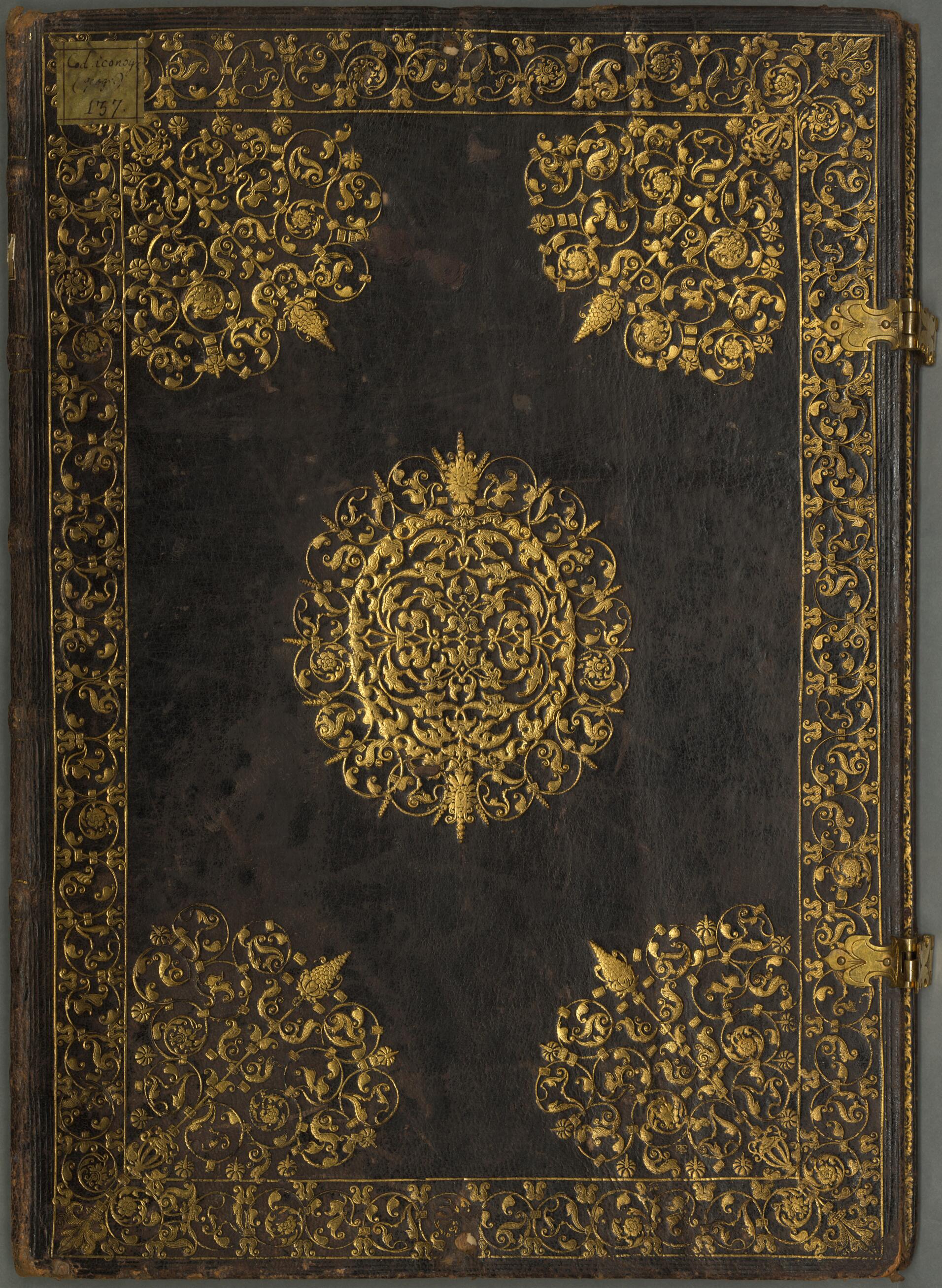
- "BSB Shelfmark: Cod.icon. 137"--Note extracted from World Digital Library.
- Original resource extent: 38 sheets, parchment : illustrations ; 47 x 33.5 centimeters.
- Original resource at: Bavarian State Library.
- Content in Portuguese.
- Description based on data extracted from World Digital Library, which may be extracted from partner institutions.
- For the best legibility, order your map in the original size or larger. Most maps have intricate detail and small text that is best appreciated when the print size hasn't been reduced.
- Sizes labeled "Fits a Standard Frame" will drop right into any frame that you purchase in that size. The sizes that we offer are commonly available online and at most retail stores.
- Our standard sizes are recommendations based on the aspect ratio of the original map, but still may require some added "white space" in one dimension to fit.
- Non-standard sizes will require custom framing, and we suggest taking your print to the frame shop of your choice after you receive it for the best results.
- Custom sizes are available, simply contact us for a quote.
Below is an approximation of the scale of a few standard sizes, and how they might appear in your space.

