
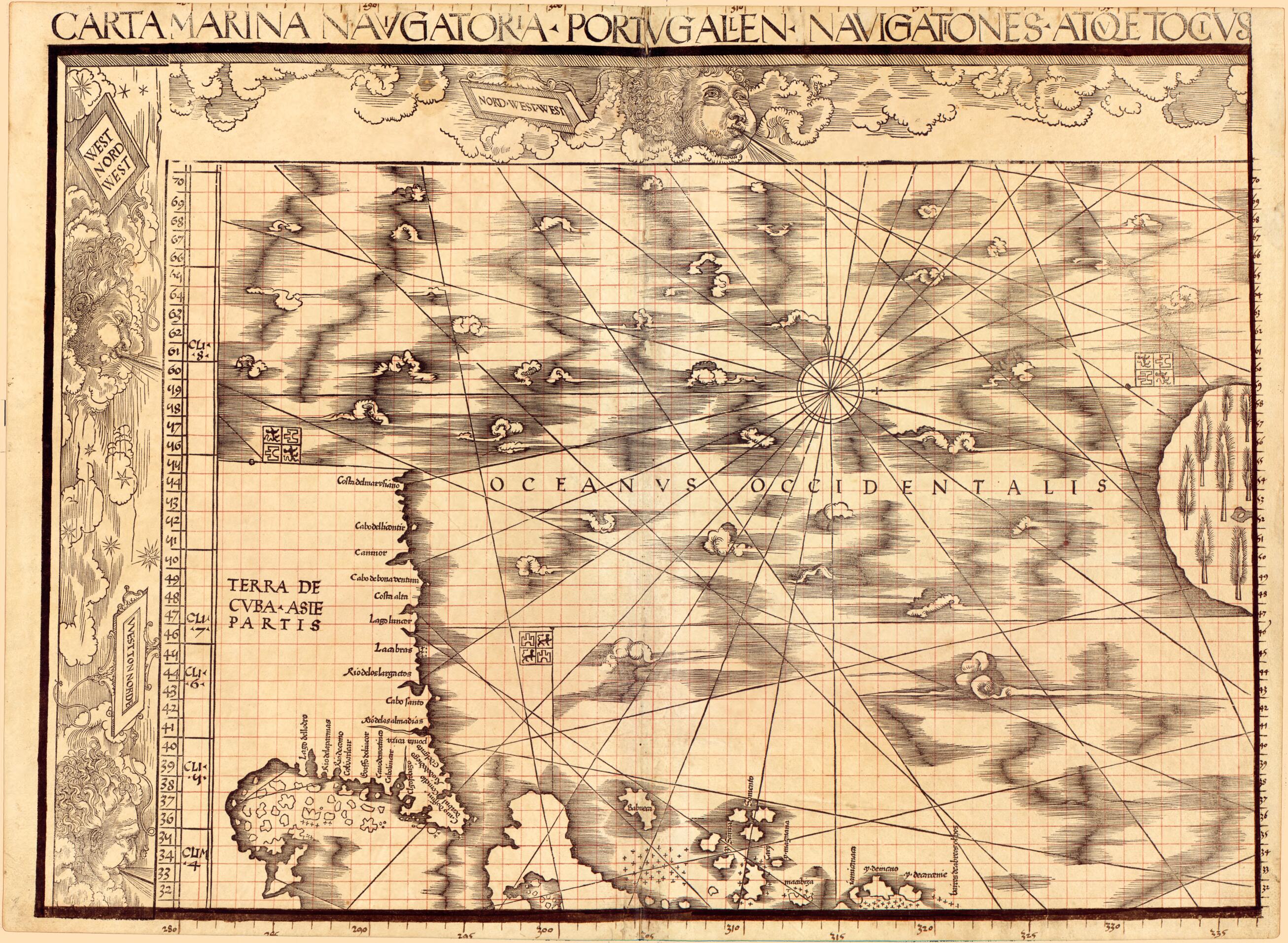
Carta Marina Navigatoria Portvgallen Navigationes, Atqve Tocius Cogniti Orbis Terre Marisqve Formam Natvram Sitvs Et Terminos Nostris Temporibvs Recognitos Et Ab Antiqvorum Traditione Differentes, Eciam Qvor Vetvsti Non Meminervnt Avtores, Hec General...
- Regular price
-
$51.95 - Regular price
-
$46.95 - Sale price
-
$51.95
Buy one map, get any other map in our collection for 50% OFF! Add to cart to see discount.
Couldn't load pickup availability
About This Map
Discover the timeless beauty of our fine art quality printed reproduction of this antique map. Perfect for history enthusiasts, collectors, and interior decorators.
Restored with meticulous attention to detail by our team with over a decade of experience, this stunning reproduction captures the intricate artistry and historical significance of the original map.
Whether you're a collector or seeking a unique decor piece, this archival-quality map reproduction is a timeless addition to any space. Order now to bring history to life!
Old world map / early map of Earth (Planet).Created by Jay I. Kislak Collection (Library of Congress), Johann Schöner, Martin Waldseemüller in 1516.
- Relief shown pictorially.
- Includes text and illustrations.
- Bound in the Schöner Sammelband.
- Sheet 6 appears to be a proof copy and was laid in after the Sammelband was bound.
- All sheets except for sheet 6 annotated in ink and red ink by Johann Schöner.
- All sheets bear a watermark of a triple pointed crown.
- Sheet 9 has a paper patch within a shield covering over corrections.
- Provenance: Gift of Jay I. Kislak Foundation.
- For the best legibility, order your map in the original size or larger. Most maps have intricate detail and small text that is best appreciated when the print size hasn't been reduced.
- Sizes labeled "Fits a Standard Frame" will drop right into any frame that you purchase in that size. The sizes that we offer are commonly available online and at most retail stores.
- Our standard sizes are recommendations based on the aspect ratio of the original map, but still may require some added "white space" in one dimension to fit.
- Non-standard sizes will require custom framing, and we suggest taking your print to the frame shop of your choice after you receive it for the best results.
- Custom sizes are available, simply contact us for a quote.
Below is an approximation of the scale of a few standard sizes, and how they might appear in your space.

