Skip to product information
1 of 1

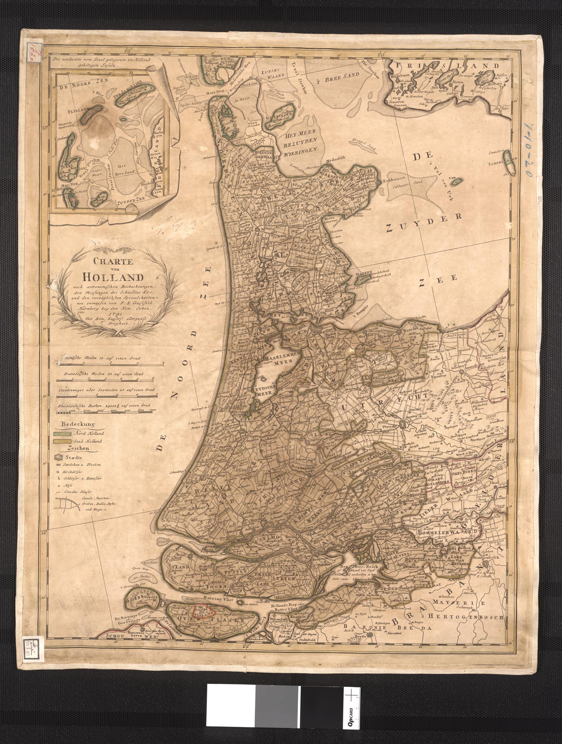
Map of Holland: According to Astronomical Observations, Measurements of Schnellius & C. and the Superiorly Redesigned Special Maps of F. L. Güssefeld. (Charte Von Holland : Nach Astronomischen Beobachtungen, Den Messungen Des Schnellius & C. Und Den ...

Regular price
$61.95
Regular price
$89.95
Sale price
$61.95
Map Description
Old map of Netherlands.

1807). It was drawn based on the calculations of the renowned Dutch mathematician Willebrord Snellius (1580-1626), a professor of mathematics at the University of Leiden, who conceived the idea of measuring the earth using triangulation. Snellius's discoveries helped to determine the radius of the earth as well as led to more accurate ways of measuring the distance between two cities.

Created by Franz Ludwig Güssefeld, Willebrord Snellius in 1791.
  • Title devised, in English, by Library staff.
  • Original resource extent: 1 colored map ; 56 x 44 centimeters.
  • Original resource at: National Library of Brazil.
  • Content in German.
  • Description based on data extracted from World Digital Library, which may be extracted from partner institutions.

Map Tags

1791

Franz Ludwig Güssefeld

Map

Netherlands

Willebrord Snellius

Fine Art Quality Printed on heavyweight (230 gsm) archival paper with a classic matte finish
Professionally Restored For the best presentation, your map will be carefully retouched by our experienced team
Free Shipping Orders of $75 or more ship for free and arrive in 3-5 business days
Proudly Made in the USA All of our maps are custom printed to order in Portland, Maine
Help with Choosing a Map Size
Secure Checkout
Lifetime Warranty
Money-Back Guarantee
This old map of Map of Holland: According to Astronomical Observations, Measurements of Schnellius & C. and the Superiorly Redesigned Special Maps of F. L. Güssefeld. (Charte Von Holland : Nach Astronomischen Beobachtungen, Den Messungen Des Schnellius