Skip to product information
1 of 1

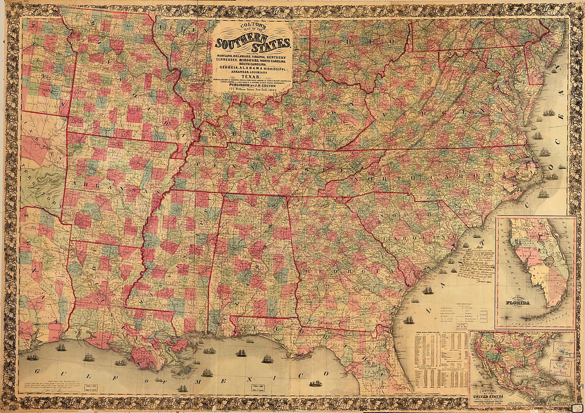
Colton's Map of the Southern States : Including Maryland, Delaware, Virginia, Kentucky, Tennessee, Missouri, North Carolina, South Carolina, Georgia, Alabama, Mississippi, Arkansas, Louisiana, Texas : Showing Also Part of Adjoining States & Territorie...

Regular price
$193.95
Regular price
$232.95
Sale price
$193.95
Map Description
Old map of Southern States, United States.

Created by J. H. (Joseph Hutchins) Colton, Lang & Laing Lith in 1862.
  • Relief shown by spot heights and hachures.
  • Prime meridian: Washington, D.C.
  • Civil War Map
  • "No. 6" in upper left margin; "references" off coast of Georgia.
  • Includes text, ill. of sailing ships, and statistical tables based on "United States census for 1860."
  • Insets: Southern part of Florida -- Colton's map of the United States : showing the proposed railroad routes to the Pacific Ocean.
  • Copy This map has some imperfections: missing pieces along edges, cut into 3 section, backed by cloth We'll do our best to restore the image before printing.

Map Subjects

Southern States

United States

J. H. (Joseph Hutchins) Colton

Lang & Laing Lith

1862

Map Tags

1862

J. H. (Joseph Hutchins) Colton

Lang & Laing Lith

Map

Maps

Southern States

United States

Fine Art Quality Printed on heavyweight (230 gsm) archival paper with a classic matte finish
Professionally Restored For the best presentation, your map will be carefully retouched by our experienced team
Free Shipping & Free Returns Orders of $75 or more ship for free and arrive in 3-5 business days
Proudly Made in the USA All of our maps are custom printed to order in Portland, Maine
Help with Choosing a Map Size
Secure Checkout
Lifetime Warranty
Money-Back Guarantee
This old map of Colton&