
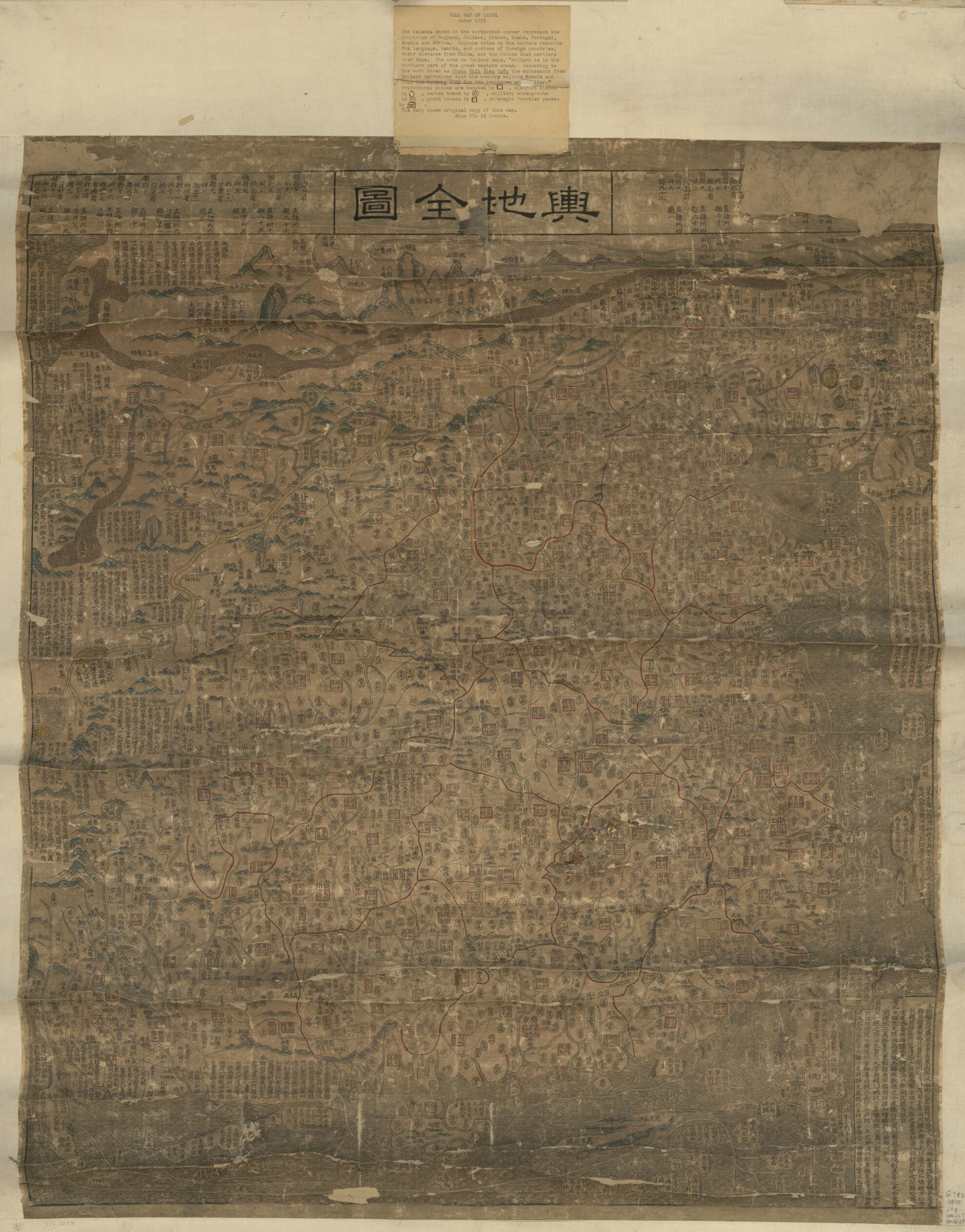
舆地全图。, Complete Map of Imperial Territory in 1798
- Regular price
-
$109.95 - Regular price
-
$104.95 - Sale price
-
$109.95
Shipping calculated at checkout.
Buy one map, get any other map in our collection for 50% OFF! Add to cart to see discount.
Couldn't load pickup availability
About This Map
Old early map of China.
Created by Arthur W. (Arthur William) Hummel in 1798.
Created by Arthur W. (Arthur William) Hummel in 1798.
- Scale ca. 1:4,000,000.
- Covers an area from Tula River in the north to the Great Wall and Wanlishitang Islands in the South China Sea, and from Korea in the east to the Pamirs in the west.
- Wood block print, hand colored.
- Relief shown pictorially.
- Hummel purchase 1930, no. 4.
- Includes list of provinces, notes, and text.
Map Sizing Information
- For the best legibility, order your map in the original size or larger. Most maps have intricate detail and small text that is best appreciated when the print size hasn't been reduced.
- Sizes labeled "Fits a Standard Frame" will drop right into any frame that you purchase in that size. The sizes that we offer are commonly available online and at most retail stores.
- Our standard sizes are recommendations based on the aspect ratio of the original map, but still may require some added "white space" in one dimension to fit.
- Non-standard sizes will require custom framing, and we suggest taking your print to the frame shop of your choice after you receive it for the best results.
- Custom sizes are available, simply contact us for a quote.
Below is an approximation of the scale of a few standard sizes, and how they might appear in your space.

