

Costa Rica 1890
- Regular price
-
$54.95 - Regular price
-
$30.95 - Sale price
-
$54.95
Buy one map, get any other map in our collection for 50% OFF! Add to cart to see discount.
Couldn't load pickup availability
About This Map
Discover the timeless beauty of our fine art quality printed reproduction of this antique map. Perfect for history enthusiasts, collectors, and interior decorators.
Restored with meticulous attention to detail by our team with over a decade of experience, this stunning reproduction captures the intricate artistry and historical significance of the original map.
Whether you're a collector or seeking a unique decor piece, this archival-quality map reproduction is a timeless addition to any space. Order now to bring history to life!
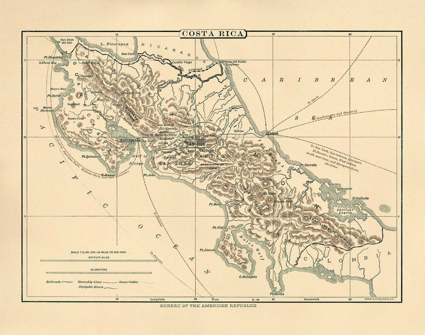
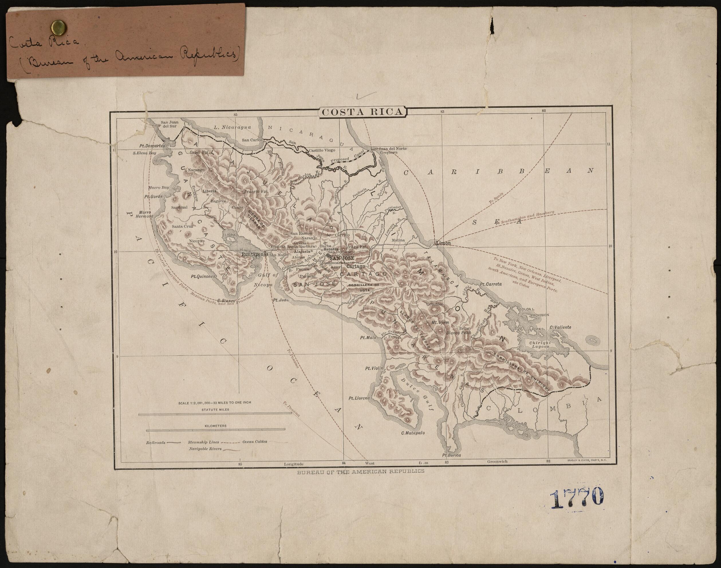
Old map of Costa Rica.This map of Costa Rica was published by the International Bureau of the American Republics (instituted in 1910 as the Pan American Union), an agency established in 1890 in Washington D.C., by resolution of the International Conference of American States. The bureau published handbooks, maps, and a monthly bulletin for disseminating information relating to the promotion of trade among the countries of the Americas. The map shows the routes of steamship lines from the ports of Limon, Puntarenas, and San Juan del Sur (Nicaragua); undersea telegraph cables; railroads; and the proposed route of an isthmian canal across Nicaragua, later abandoned in favor of a route across Panama. The map was made before 1903, when Panama became an independent country, so it shows Costa Rica as still bordering on Colombia to its south. The map is held in the Columbus Memorial Library of the Organization of American States, successor organization of the International Bureau of the American Republics and the Pan American Union.
Created by Bradley & Poates in 1890.
- Title devised, in English, by Library staff.
- "Scale 1:2,091,000. 33 miles equals 1 inch"--Note extracted from World Digital Library.
- Original resource at: Columbus Memorial Library, Organization of American States.
- Content in English.
- Description based on data extracted from World Digital Library, which may be extracted from partner institutions.
- For the best legibility, order your map in the original size or larger. Most maps have intricate detail and small text that is best appreciated when the print size hasn't been reduced.
- Sizes labeled "Fits a Standard Frame" will drop right into any frame that you purchase in that size. The sizes that we offer are commonly available online and at most retail stores.
- Our standard sizes are recommendations based on the aspect ratio of the original map, but still may require some added "white space" in one dimension to fit.
- Non-standard sizes will require custom framing, and we suggest taking your print to the frame shop of your choice after you receive it for the best results.
- Custom sizes are available, simply contact us for a quote.
Below is an approximation of the scale of a few standard sizes, and how they might appear in your space.

