

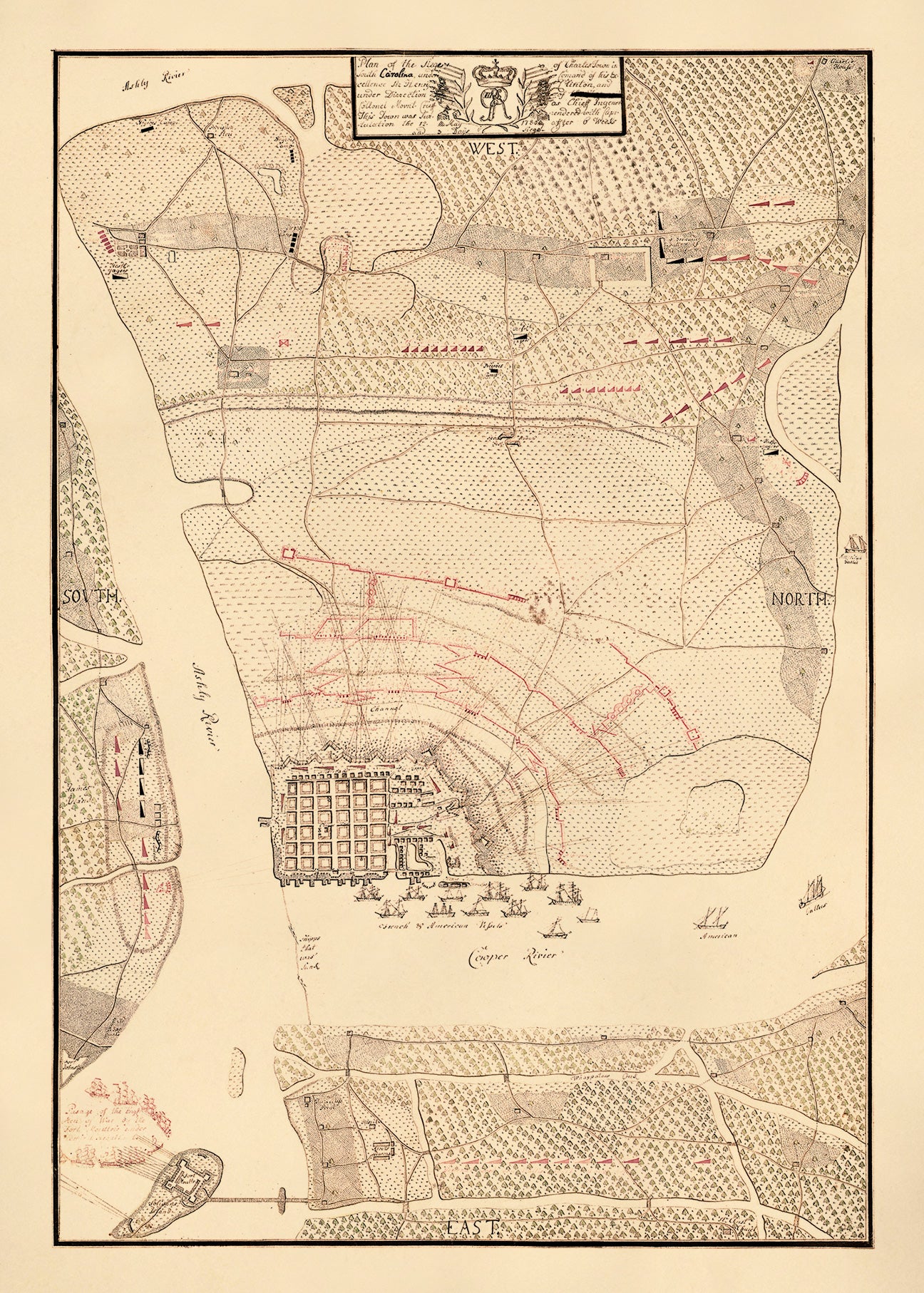
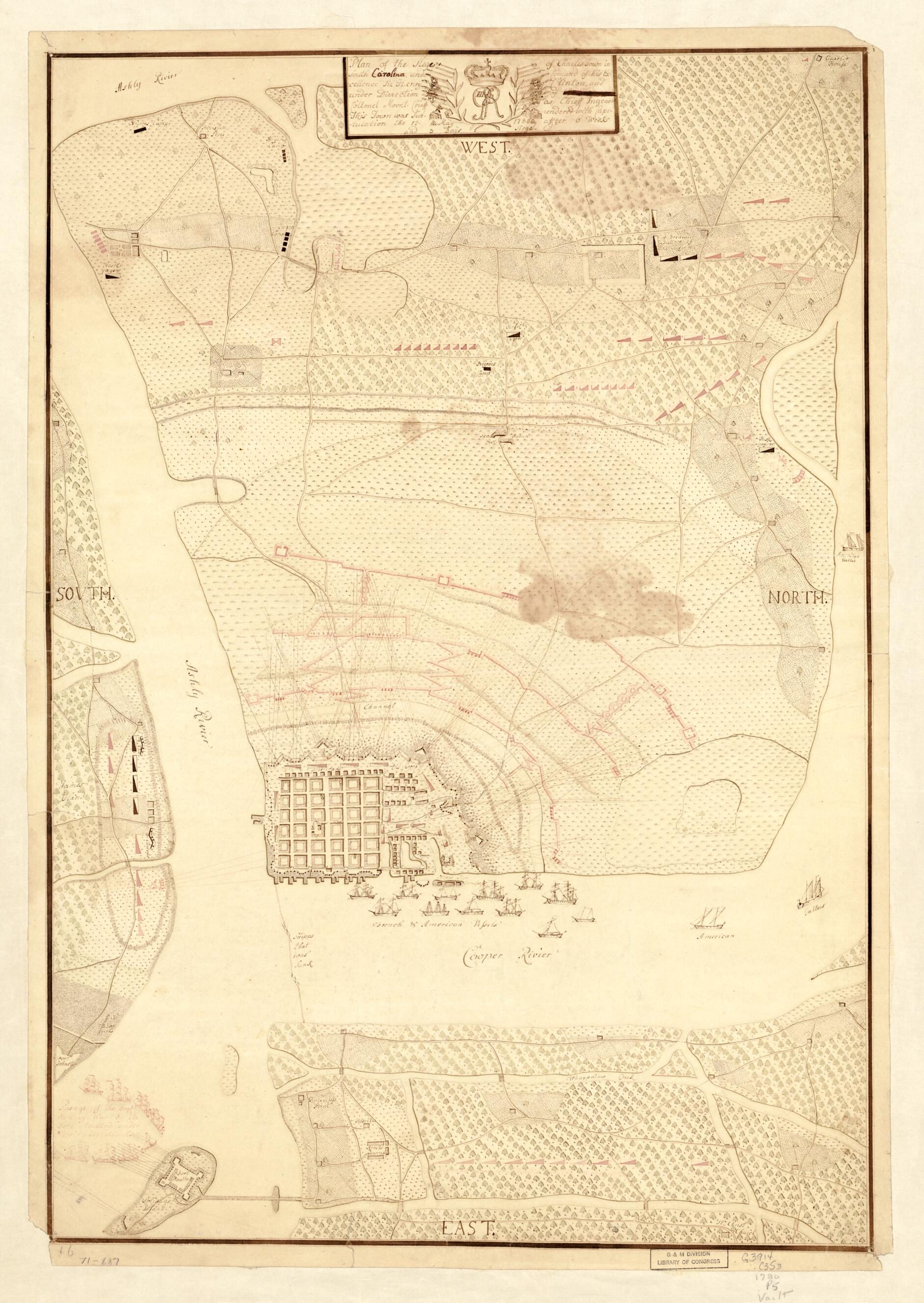
Plan of the siege of Charles Town in South Carolina
- Regular price
-
$65.95 - Regular price
-
$60.95 - Sale price
-
$65.95
Shipping calculated at checkout.
Buy one map, get any other map in our collection for 50% OFF! Add to cart to see discount.
Couldn't load pickup availability
About This Map
Old map of Charleston, South Carolina, United States.
...under command of His Excellence Sir Henry Clinton and under direction of ... Collonel Mount-Crieff as chief ingener, this town was surrendered with capitulation the 12. May 1780 after 6 weeks and 3 days siege.
Created by Patrick Fennigan in 1780.
- Scale ca. 1:11,500.
- Manuscript, pen-and-ink and watercolor.
- Oriented with north to the right.
- Shows detailed lines of fire for defenders and besiegers.
- Ships shown pictorially.
- On verso: Siege of Charles Town, South Carolina. Lieut. Finnegan, 16th Regt.
Map Sizing Information
- For the best legibility, order your map in the original size or larger. Most maps have intricate detail and small text that is best appreciated when the print size hasn't been reduced.
- Sizes labeled "Fits a Standard Frame" will drop right into any frame that you purchase in that size. The sizes that we offer are commonly available online and at most retail stores.
- Our standard sizes are recommendations based on the aspect ratio of the original map, but still may require some added "white space" in one dimension to fit.
- Non-standard sizes will require custom framing, and we suggest taking your print to the frame shop of your choice after you receive it for the best results.
- Custom sizes are available, simply contact us for a quote.
Below is an approximation of the scale of a few standard sizes, and how they might appear in your space.

