
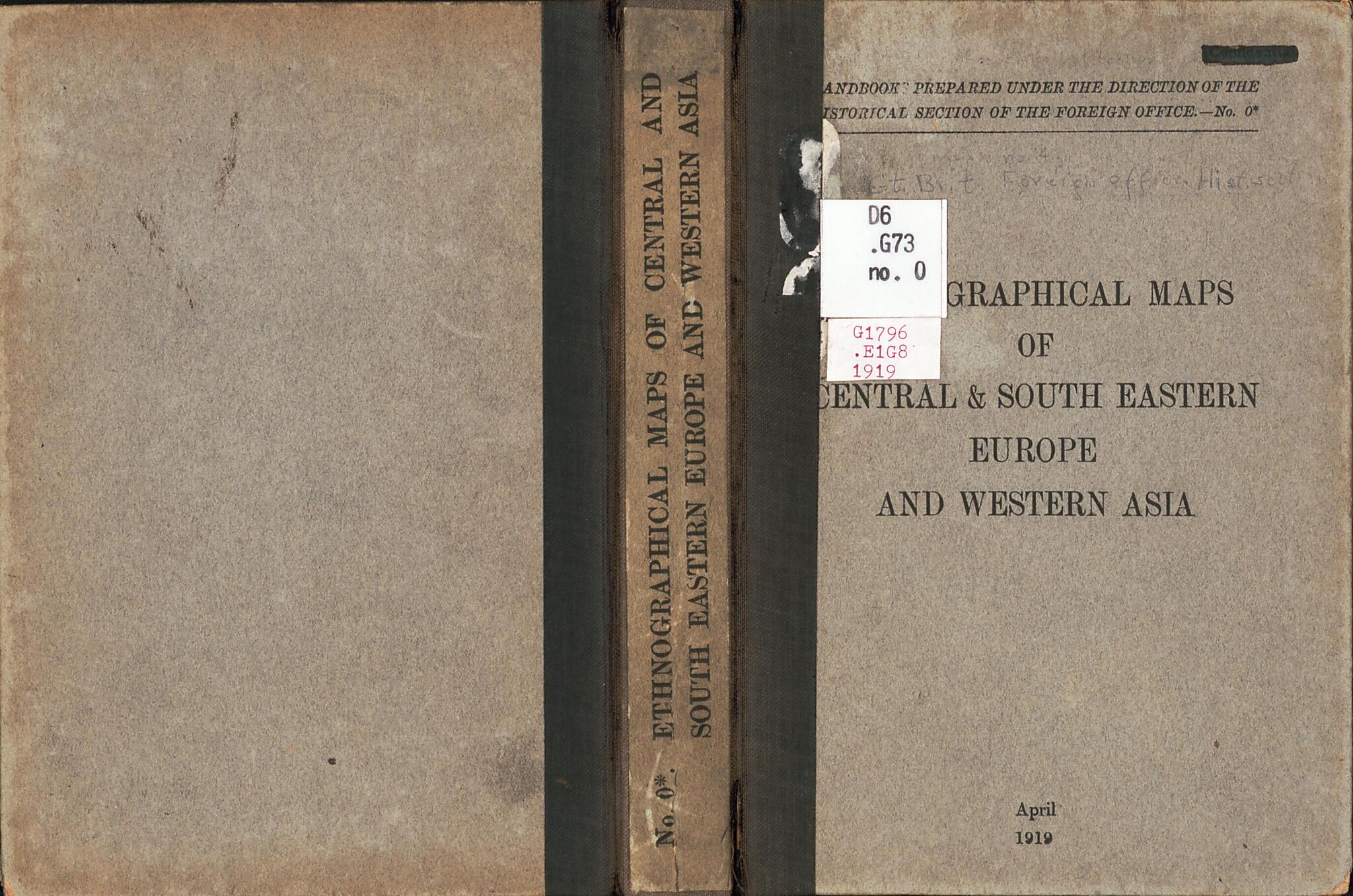
Ethnographical Maps of Central & South Eastern Europe and Western Asia 1917
- Regular price
-
$49.95 - Regular price
-
$34.95 - Sale price
-
$49.95
Buy one map, get any other map in our collection for 50% OFF! Add to cart to see discount.
Couldn't load pickup availability
About This Map
Discover the timeless beauty of our fine art quality printed reproduction of this antique map. Perfect for history enthusiasts, collectors, and interior decorators.
Restored with meticulous attention to detail by our team with over a decade of experience, this stunning reproduction captures the intricate artistry and historical significance of the original map.
Whether you're a collector or seeking a unique decor piece, this archival-quality map reproduction is a timeless addition to any space. Order now to bring history to life!
Old map of Balkan Peninsula, Central Europe, Europe, Central, Middle East.Created by Great Britain. Foreign Office. Historical Section, Great Britain. War Office, Great Britain. War Office. General Staff. Geographical Section, Royal Geographical Society (Great Britain) in 1917.
- Relief shown by spot heights.
- Shows ethnographic areas (color-coded) as before the effect of the Treaty of Versailles (1919).
- Also shows international and imperial boundaries.
- Title from portfolio.
- Accompanied by text: Note explanatory of the map showing the distribution of nationalities in the Balkan Peninsula (4 pages : ethnohistorical text, footnote ; 22 cm, folded to 12 x 14 cm)
- Includes note, indexed legend, ancillary map of population density, inset of population density (on Italy sheet), and sheet-index diagram.
- Map of Eastern Turkey at scale 1:2,000,000 published by the Royal Geographical Society in 1910, with railways updated to 1917.
- Issued in a portfolio as Handbook no. 0 with date April 1919.
Map Subjects
Balkan Peninsula
Boundaries
Ethnology
Europe Central
Middle East
Minorities
Central Europe
Great Britain. Foreign Office. Historical Section
Great Britain. War Office
Great Britain. War Office. General Staff. Geographical Section
Royal Geographical Society (Great Britain)
1917
- For the best legibility, order your map in the original size or larger. Most maps have intricate detail and small text that is best appreciated when the print size hasn't been reduced.
- Sizes labeled "Fits a Standard Frame" will drop right into any frame that you purchase in that size. The sizes that we offer are commonly available online and at most retail stores.
- Our standard sizes are recommendations based on the aspect ratio of the original map, but still may require some added "white space" in one dimension to fit.
- Non-standard sizes will require custom framing, and we suggest taking your print to the frame shop of your choice after you receive it for the best results.
- Custom sizes are available, simply contact us for a quote.
Below is an approximation of the scale of a few standard sizes, and how they might appear in your space.
