1
/
of
1
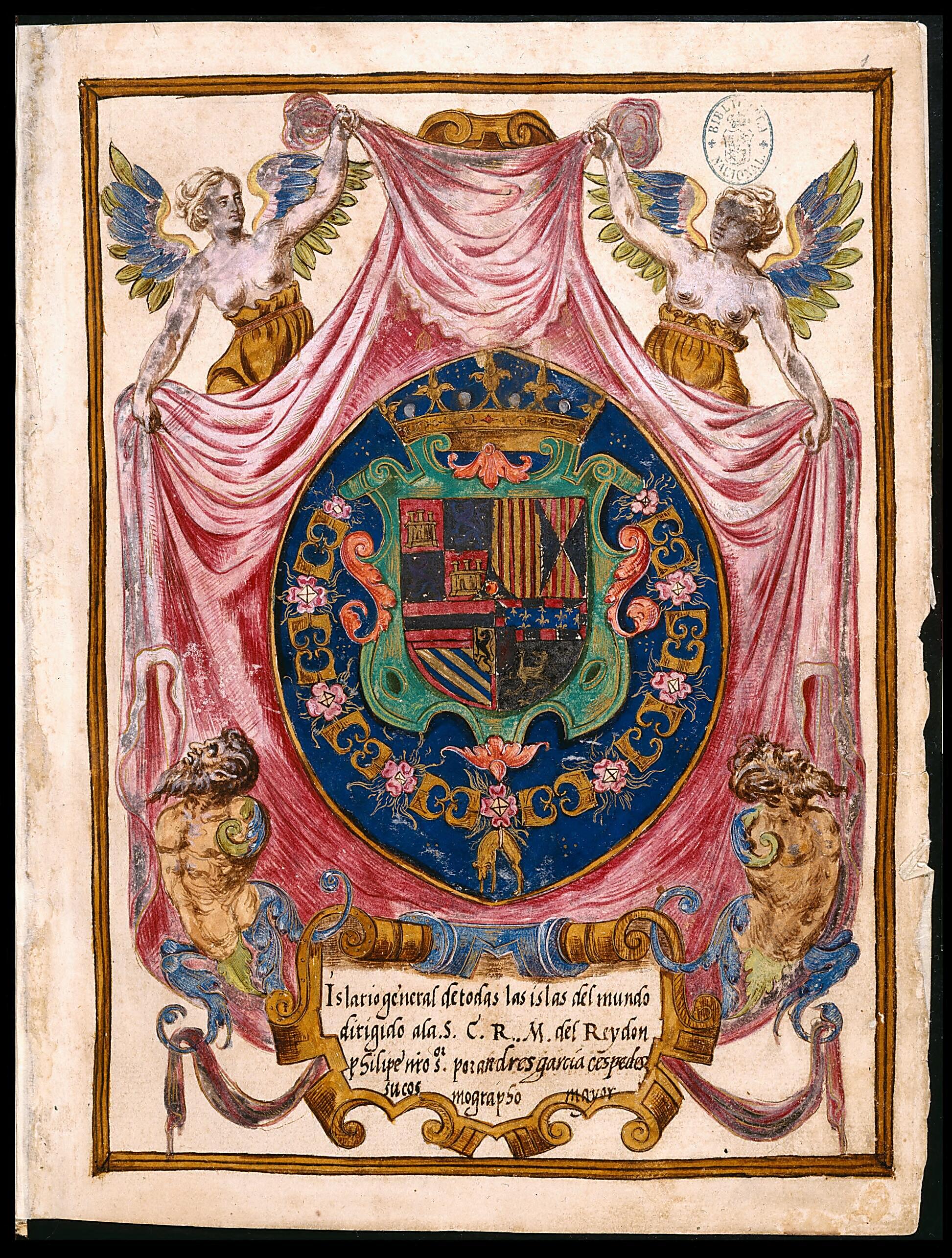
General Atlas of All the Islands In the World. (Islario General De Todas Las Islas Del Mundo) 1539
- Regular price
-
$19.95 - Regular price
-
$29.95 - Sale price
-
$19.95
Couldn't load pickup availability
90-Day Satisfaction Guarantee & Free Returns
About This Map
Discover the timeless beauty of our fine art quality printed reproduction of this antique map. Perfect for history enthusiasts, collectors, and interior decorators.
Restored with meticulous attention to detail by our team with over a decade of experience, this stunning reproduction captures the intricate artistry and historical significance of the original map.
Whether you're a collector or seeking a unique decor piece, this archival-quality map reproduction is a timeless addition to any space. Order now to bring history to life!
-67). The atlas was begun during the reign of Holy Roman Emperor and King of Spain Charles V and finished in that of his son King Philip II, to whom it was dedicated. It consists of 111 maps representing all the islands and peninsulas of the world, and showing all the discoveries made by European explorers from 1400 to the mid-16th century. The atlas begins with a letter by Santa Cruz to the king, in which he justifies his work and explains different geographic concepts. Preceding the maps is "Breve introducción de la Sphera" in which Santa Cruz makes a cosmographic description, illustrated by 14 astronomical figures. The maps are organized in four parts: the first deals with the North Atlantic; the second, with the Mediterranean and adjacent areas; the third, with Africa and the Indian Ocean; and the fourth with the New World. The maps include scales in latitude and some in longitude and bodies of water with varied scales and oriented with compass roses. The Islario general is the earliest atlas in which paper is used, instead of the parchment that was previously most commonly used for such charts. The design of the maps is more functional, with less attention to aesthetics and more to geographic detail than in the late-medieval portolan maps and atlases. Scholars have determined, on the basis of the dates that appear in the descriptive texts on the islands, that the maps were made beginning in the fourth decade of the 16th century, around 1539, and that the entire atlas was completed circa 1560. It is highly probable that the Islario general was a part of a Geografía Universal that Santa Cruz never finished. Santa Cruz was one of the key figures of the Casa de Contratación (House of Trade) in Seville. One of his first works was a set of the spherical charts of the New World. He created various other works on cosmography and geography, such as the Libro de longitudes; and on historical themes, including Crónica de los Reyes Católicos (Chronicle of the Catholic kings) and Crónica de Carlos V (Chronicle of Charles V). Following Santa Cruz's death, his successor, Andrés García de Céspedes, attempted to claim credit for this work. On the cover the name Alonso de Santa Cruz has been erased, García de Céspedes's name is inserted as if he were the author, and the work is dedicated to King Philip III. In the manuscript itself, apocryphal texts have been superimposed over the originals, with the aim of disguising the real authorship and date of creation.Created by Alonso De Santa Cruz in 1539.
- Title devised, in English, by Library staff.
- Original resource extent: 360 pages with 111 maps : gouache on paper ; 28 x 21 centimeters.
- Original resource at: National Library of Spain.
- Content in Spanish.
- Description based on data extracted from World Digital Library, which may be extracted from partner institutions.
Map Subjects
1539 To 1560
Astronomy
Islands
Manuscript Maps
Nautical Charts
Alonso De Santa Cruz
1539
Map Tags
1539
1539 To 1560
Alonso De Santa Cruz
Astronomy
Islands
Manuscript Maps
Map
Nautical Charts
Secure Checkout
Lifetime Warranty
Money-Back Guarantee

Map Sizing Information
- For the best legibility, order your map in the original size or larger. Most maps have intricate detail and small text that is best appreciated when the print size hasn't been reduced.
- Sizes labeled "Fits a Standard Frame" will drop right into any frame that you purchase in that size. The sizes that we offer are commonly available online and at most retail stores.
- Our standard sizes are recommendations based on the aspect ratio of the original map, but still may require some added "white space" in one dimension to fit.
- Non-standard sizes will require custom framing, and we suggest taking your print to the frame shop of your choice after you receive it for the best results.
- Custom sizes are available, simply contact us for a quote.
Below is an approximation of the scale of a few standard sizes, and how they might appear in your space.


