
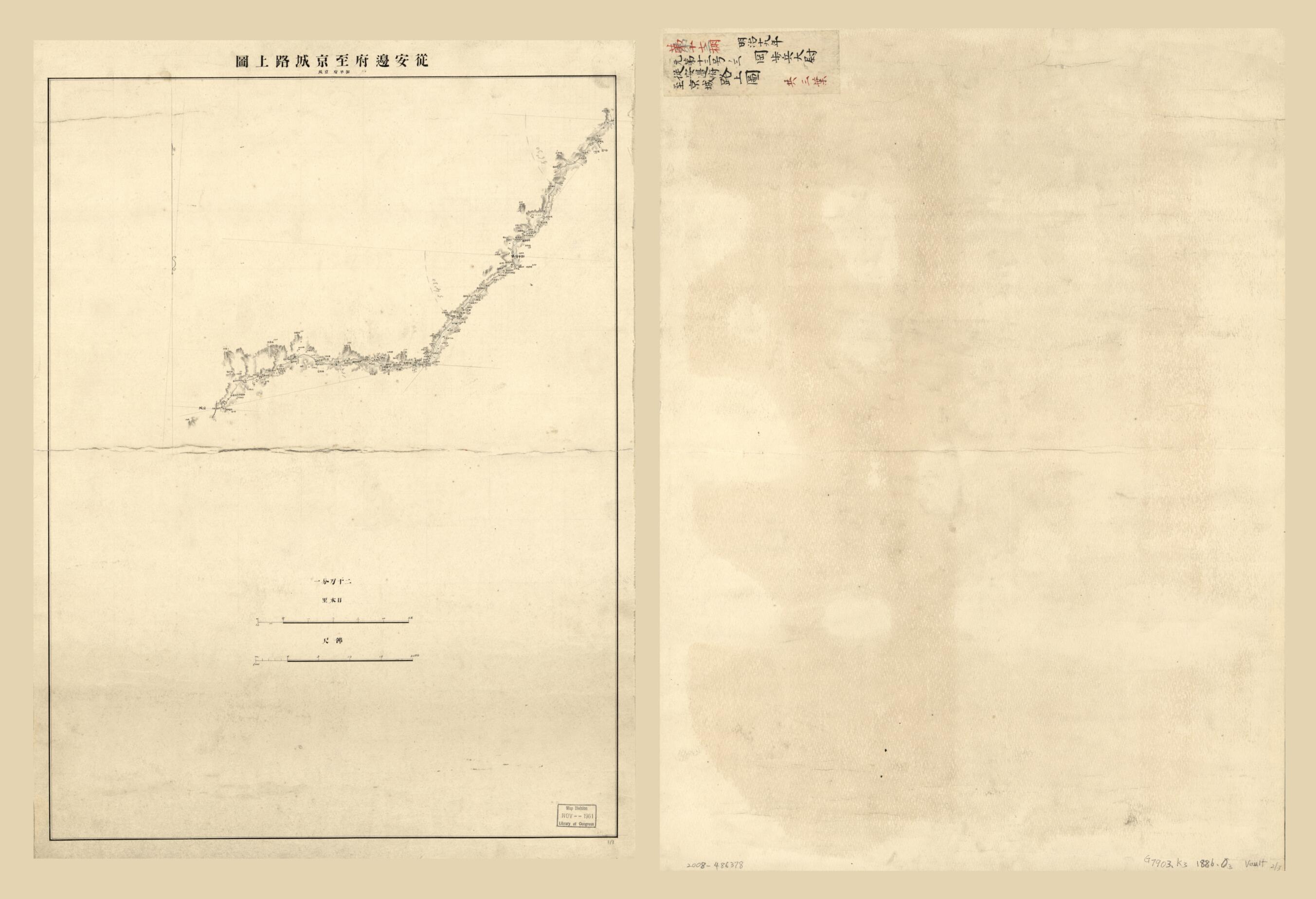
從安邊府至京城路上圖 / in 1886
- Regular price
-
$128.95 - Regular price
-
$123.95 - Sale price
-
$128.95
Shipping calculated at checkout.
Buy one map, get any other map in our collection for 50% OFF! Add to cart to see discount.
Couldn't load pickup availability
About This Map
Old map of Do, Kangwŏn, Do., Korea, Kyŏnggi, Do..
Created by Yasuaki Oka in 1886.
Created by Yasuaki Oka in 1886.
- Relief shown by hachures and spot heights.
- Oriented with north toward the upper left.
- Xg19 2009-09-15 corrected 100 field
- "第十七棚" written in red.
- 1. 歙谷縣・通川郡・高城郡・杆城郡 -- 2. 麟蹄縣・楊口郡・狼川縣 -- 3.加平府・京城.
Map Sizing Information
- For the best legibility, order your map in the original size or larger. Most maps have intricate detail and small text that is best appreciated when the print size hasn't been reduced.
- Sizes labeled "Fits a Standard Frame" will drop right into any frame that you purchase in that size. The sizes that we offer are commonly available online and at most retail stores.
- Our standard sizes are recommendations based on the aspect ratio of the original map, but still may require some added "white space" in one dimension to fit.
- Non-standard sizes will require custom framing, and we suggest taking your print to the frame shop of your choice after you receive it for the best results.
- Custom sizes are available, simply contact us for a quote.
Below is an approximation of the scale of a few standard sizes, and how they might appear in your space.
