1
/
of
1
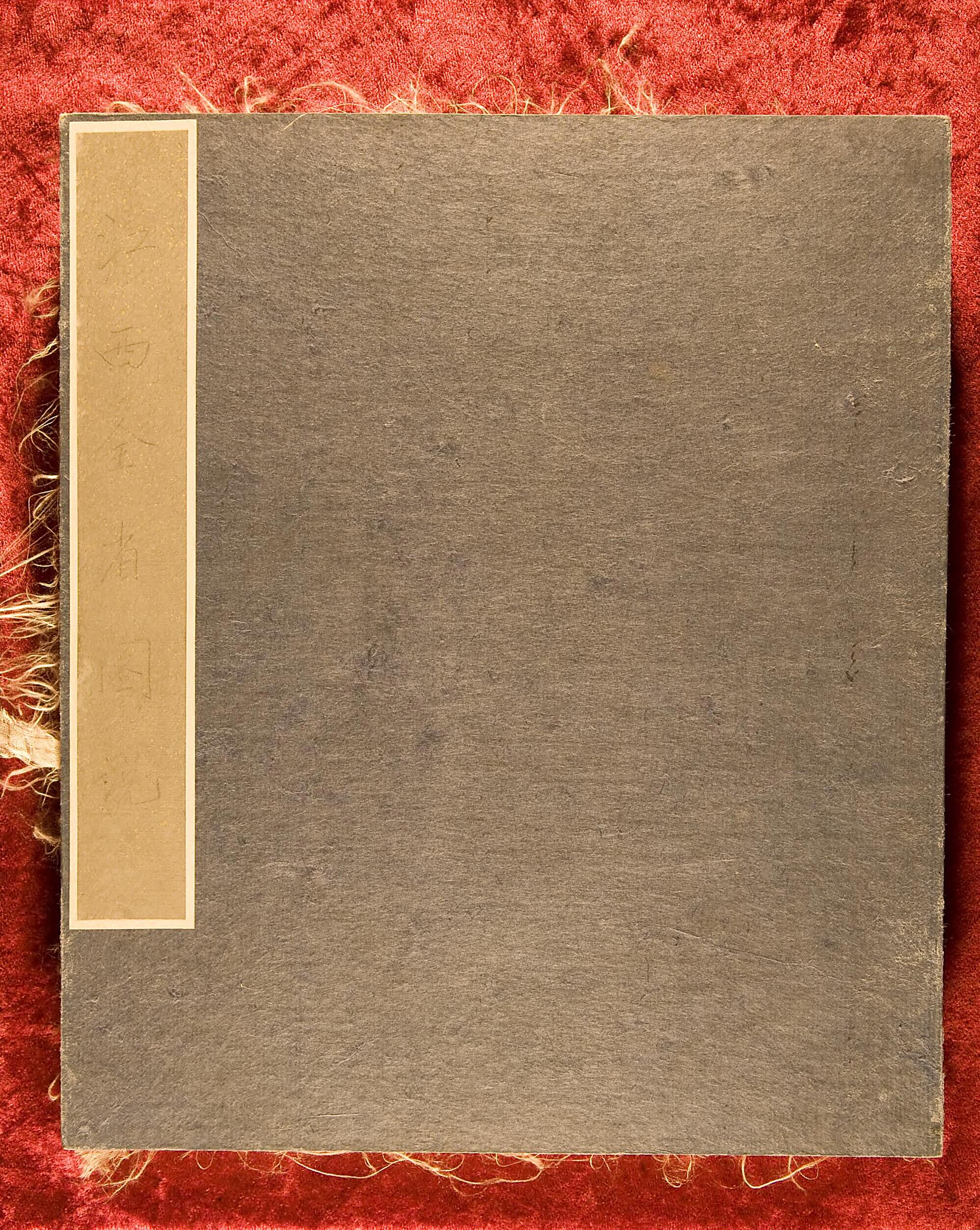
Jiangxi Quan Sheng Tu Shui (江西全省圖說) 1573
- Regular price
-
$19.95 - Regular price
-
$29.95 - Sale price
-
$19.95
Couldn't load pickup availability
90-Day Satisfaction Guarantee & Free Returns
About This Map
Discover the timeless beauty of our fine art quality printed reproduction of this antique map. Perfect for history enthusiasts, collectors, and interior decorators.
Restored with meticulous attention to detail by our team with over a decade of experience, this stunning reproduction captures the intricate artistry and historical significance of the original map.
Whether you're a collector or seeking a unique decor piece, this archival-quality map reproduction is a timeless addition to any space. Order now to bring history to life!
Old map of China, Jiangxi Province.modern Chinese maps and the geography of Jiangxi. It also shows the quality of traditional cartography in Ming China. The maps employ traditional Chinese drawing methods to depict in precise detail mountain passes, rivers, lakes, trees, moats, civic temples, temples, villages, and houses within the territories of the prefectures and counties of the province, all with name labels. Each map is accompanied by explanations amounting to over 100 regular-script characters recording historical changes, geographical characteristics, strategic areas, and local customs.
- Title devised, in English, by Library staff.
- Original resource extent: One volume, 37 maps, of which one is a general map, 26 x 56 centimeters and 36 are prefectural and county maps, each 28 x 26 centimeters.
- Original resource at: National Library of China.
- Content in Chinese.
- Description based on data extracted from World Digital Library, which may be extracted from partner institutions.
- Title revised per Asian Division.--cc28 2023-01-06
Map Subjects
1573 To 1620
Cartography
China
Jiangxi Province
Ming Dynasty
1573
Map Tags
1573
1573 To 1620
Cartography
China
Jiangxi Province
Map
Ming Dynasty
Secure Checkout
Lifetime Warranty
Money-Back Guarantee

Map Sizing Information
- For the best legibility, order your map in the original size or larger. Most maps have intricate detail and small text that is best appreciated when the print size hasn't been reduced.
- Sizes labeled "Fits a Standard Frame" will drop right into any frame that you purchase in that size. The sizes that we offer are commonly available online and at most retail stores.
- Our standard sizes are recommendations based on the aspect ratio of the original map, but still may require some added "white space" in one dimension to fit.
- Non-standard sizes will require custom framing, and we suggest taking your print to the frame shop of your choice after you receive it for the best results.
- Custom sizes are available, simply contact us for a quote.
Below is an approximation of the scale of a few standard sizes, and how they might appear in your space.


