Skip to product information
1 of 1

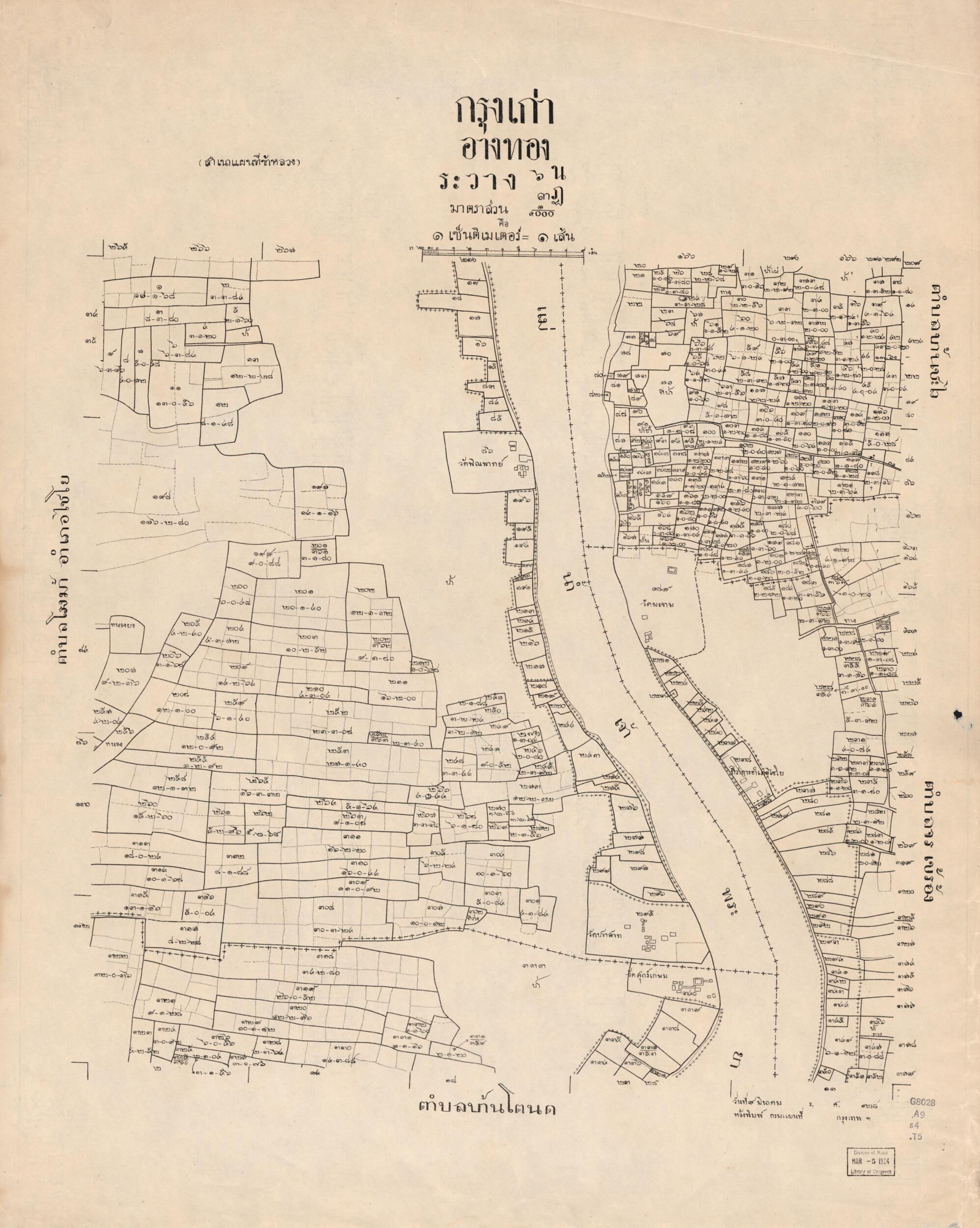
Ngthō̜ng : Krung Kao (Krung Kao : ʻĀngthō̜ng) 1906

Regular price
$125.95
Regular price
$176.95
Sale price
$125.95
Help with Choosing a Map Size

90-Day Satisfaction Guarantee & Free Returns

About This Map

Discover the timeless beauty of our fine art quality printed reproduction of this antique map. Perfect for history enthusiasts, collectors, and interior decorators.

Restored with meticulous attention to detail by our team with over a decade of experience, this stunning reproduction captures the intricate artistry and historical significance of the original map.

Whether you're a collector or seeking a unique decor piece, this archival-quality map reproduction is a timeless addition to any space. Order now to bring history to life!

Old cadastral map of Ang Thong, Ang Thong (Thailand : Province), Thailand.

Created by Thailand. Krom Phǣnthī Thahān in 1906.
  • Some maps dated as Rō̜. Sō̜. 125 for Phō̜. Sō̜. 2449 or 1906.
  • Maps of Ang Thong Province published by Thai Royal Survey Department, one of the central provinces of Thailand. Ang Thong occupies a low river plain, created by the Chao Phraya and the Noi Rivers, it consists of mostly agricultural land, with boundaries by jurisdiction names of districts and subdivided into subdistricts and villages. Also includes cadatral maps of specific land parcels, with lots, and lot numbers.
  • Romanized; maps in Thai scripts.
  • Predominant scale 1:4,000.

Map Tags

1906

Administrative And Political Divisions

Ang Thong

Ang Thong (Province)

Ang Thong (Thailand : Province)

Cadastral Maps

Map

Maps

Real Property

Thailand

Thailand. Krom Phǣnthī Thahān

Secure Checkout
Lifetime Warranty
Money-Back Guarantee
This old map of Ngthō̜ng : Krung Kao (Krung Kao : ʻĀngthō̜ng) from 1906 was created by  Thailand. Krom Phǣnthī Thahān in 1906