
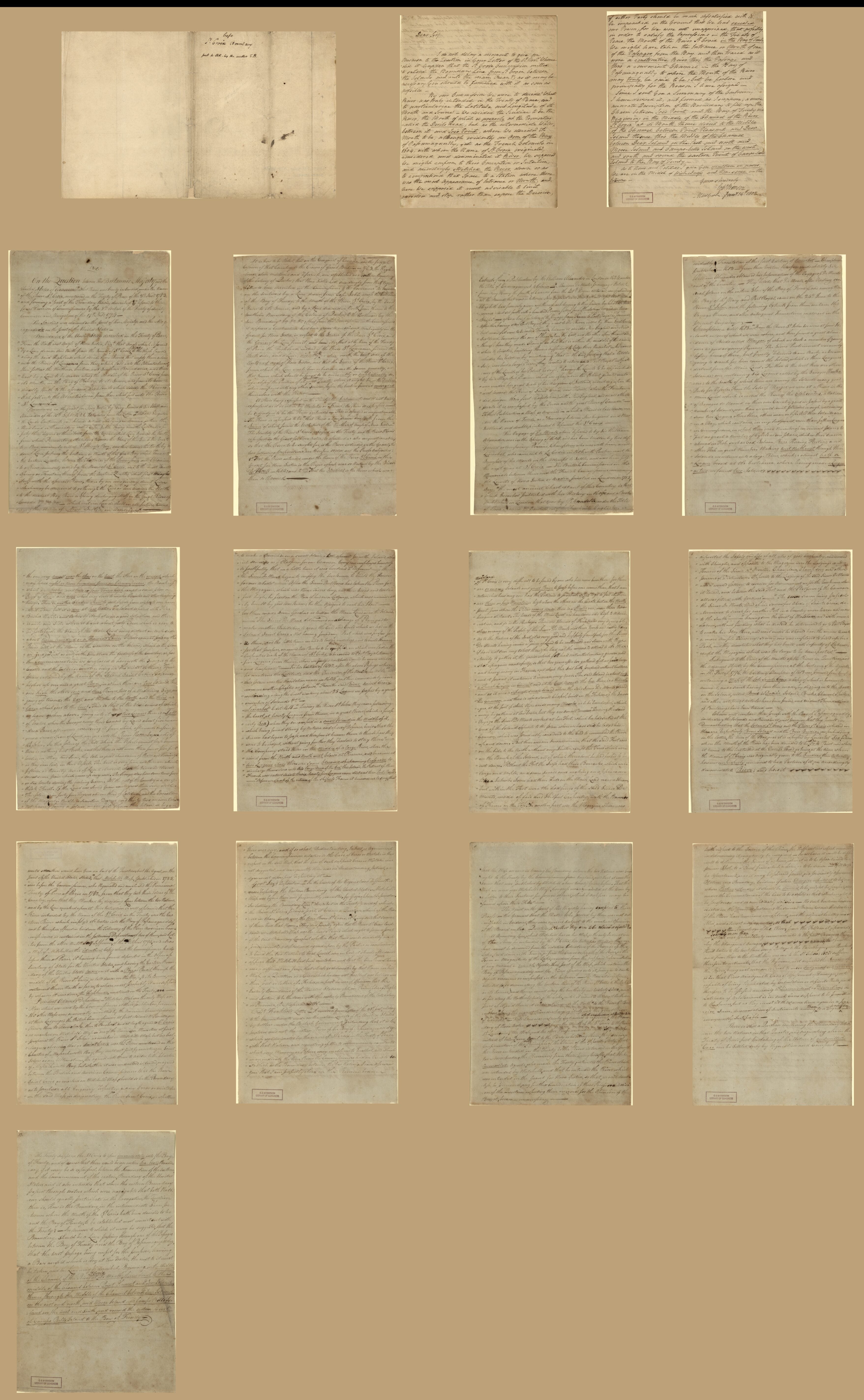
Manuscript Maps That Were Assembled by Egbert Benson and Sent In in 1802 to Rufus King, United States Minister to Great Britain, In Order to Facilitate Negotiations Over Disputed International Boundary Between Maine and New Brunswick
- Regular price
-
$285.95 - Regular price
-
$280.95 - Sale price
-
$285.95
Buy one map, get any other map in our collection for 50% OFF! Add to cart to see discount.
Couldn't load pickup availability
About This Map
Discover the timeless beauty of our fine art quality printed reproduction of this antique map. Perfect for history enthusiasts, collectors, and interior decorators.
Restored with meticulous attention to detail by our team with over a decade of experience, this stunning reproduction captures the intricate artistry and historical significance of the original map.
Whether you're a collector or seeking a unique decor piece, this archival-quality map reproduction is a timeless addition to any space. Order now to bring history to life!
Old map of Canada, Maine, New Brunswick, Passamaquoddy Bay Region, Passamaquoddy Bay River Region, Saint Croix Island, Saint Croix River Region, United States.Created by Egbert Benson, Samuel De Champlain, B. R. (Benjamin Richards) Jones, Rufus King, John Mitchell in 1802.
- Depths shown by soundings on Champlain's map of Saint Croix Island and vicinity.
- Champlain's map of Saint Croix Island and vicinity in French. Other 3 maps in English.
- Title supplied by cataloger.
- Dealer's catalog: Each [map] possibly executed by a different hand.
- Pen-and-ink and watercolor.
- Accompanied by manuscript explaining 1798 decision on location of Saint Croix River (7 sheets ; each 31 x 21 cm.), manuscript letter from Benson to unidentified recipient (1 sheet ; 26 x 21 cm.), cover sheet bearing manuscript title of "Case/St. Croix boundary/sent to R.K. by the author E.B." (1 sheet ; 22 x 36 cm.), and folder (24 x 32 cm.) and sheet (28 x 22 cm.) bearing typed description of the maps and text.
- This map has some imperfections: stained. We'll do our best to restore the image before printing.
- Acquisitions control no.: 2010-001
- For the best legibility, order your map in the original size or larger. Most maps have intricate detail and small text that is best appreciated when the print size hasn't been reduced.
- Sizes labeled "Fits a Standard Frame" will drop right into any frame that you purchase in that size. The sizes that we offer are commonly available online and at most retail stores.
- Our standard sizes are recommendations based on the aspect ratio of the original map, but still may require some added "white space" in one dimension to fit.
- Non-standard sizes will require custom framing, and we suggest taking your print to the frame shop of your choice after you receive it for the best results.
- Custom sizes are available, simply contact us for a quote.
Below is an approximation of the scale of a few standard sizes, and how they might appear in your space.

