
Map of the Far East and Adjacent Pacific. (with-ship) 1290
- Regular price
-
$49.95 - Regular price
-
$29.95 - Sale price
-
$49.95
Buy one map, get any other map in our collection for 50% OFF! Add to cart to see discount.
Couldn't load pickup availability
About This Map
Discover the timeless beauty of our fine art quality printed reproduction of this antique map. Perfect for history enthusiasts, collectors, and interior decorators.
Restored with meticulous attention to detail by our team with over a decade of experience, this stunning reproduction captures the intricate artistry and historical significance of the original map.
Whether you're a collector or seeking a unique decor piece, this archival-quality map reproduction is a timeless addition to any space. Order now to bring history to life!
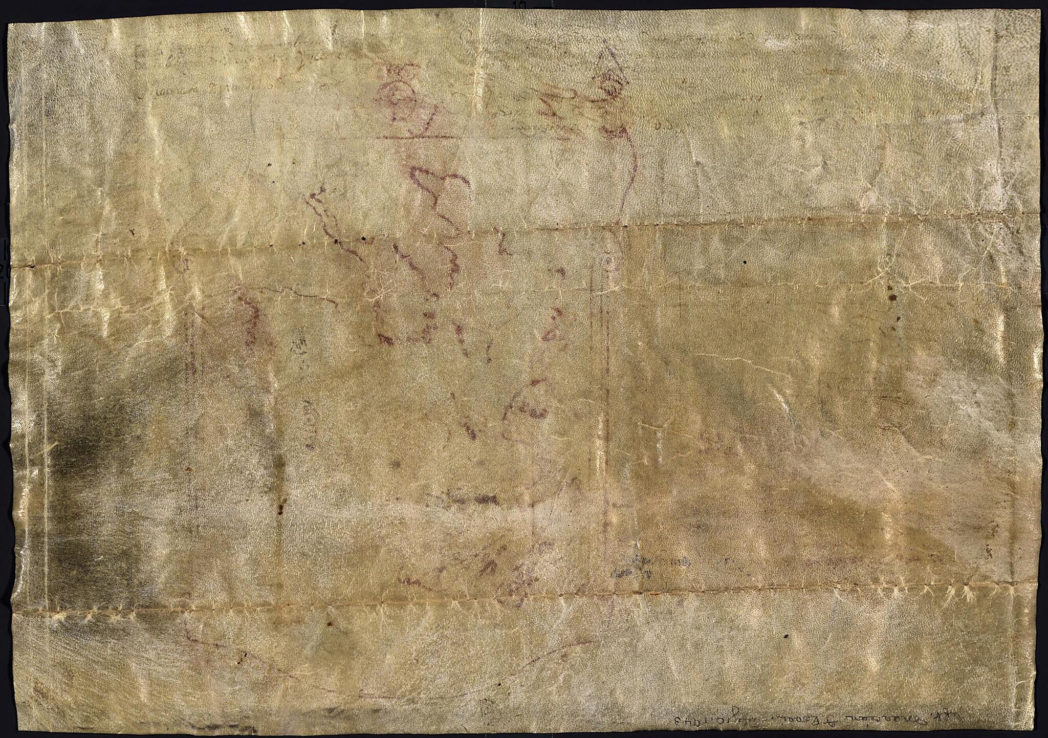
Old map of East Asia, North America, North Pacific Ocean, Pacific Coast, Pacific Coast (North America).Created by Marco Polo in 1290.
- The map, in its ornamental frame, occupies the right side of the sheet. Drawing of a ship and an eight-line explanation of Roman numerals on left side of the sheet.
- Place names in Arabic. Chinese in two columns, on right side of map. Text in Venetian Italian.
- Undetermined authenticity.
- Provenance unverified.
- Pen-and-ink.
- Further description of map appeared in article: Bagrow, Leo, 1948. The maps from the home archives of the descendants of a friend of Marco Polo. Imago Mundi, vol. V.
- Includes key to identifying countries and regions designated by Roman numerals.
- Translation of the explanation of Roman numerals: Marco Polo. I. India and the adjacent islands, according to what the Saracens say. II. Cattigara of Tartary, island of Zipangu and adjacent islands. III. Peninsula of the Sea Lions. IV. Islands connected with the Peninsula of the Deer situated 2 to 4 hours of difference from the walled provinces of Tartary.
Map Subjects
Early Works To 1800
East Asia
Maps Manuscript
North Pacific Ocean
Pacific Coast (North America)
North America
Pacific Coast
Marco Polo
1290
- For the best legibility, order your map in the original size or larger. Most maps have intricate detail and small text that is best appreciated when the print size hasn't been reduced.
- Sizes labeled "Fits a Standard Frame" will drop right into any frame that you purchase in that size. The sizes that we offer are commonly available online and at most retail stores.
- Our standard sizes are recommendations based on the aspect ratio of the original map, but still may require some added "white space" in one dimension to fit.
- Non-standard sizes will require custom framing, and we suggest taking your print to the frame shop of your choice after you receive it for the best results.
- Custom sizes are available, simply contact us for a quote.
Below is an approximation of the scale of a few standard sizes, and how they might appear in your space.

