Skip to product information
1 of 1

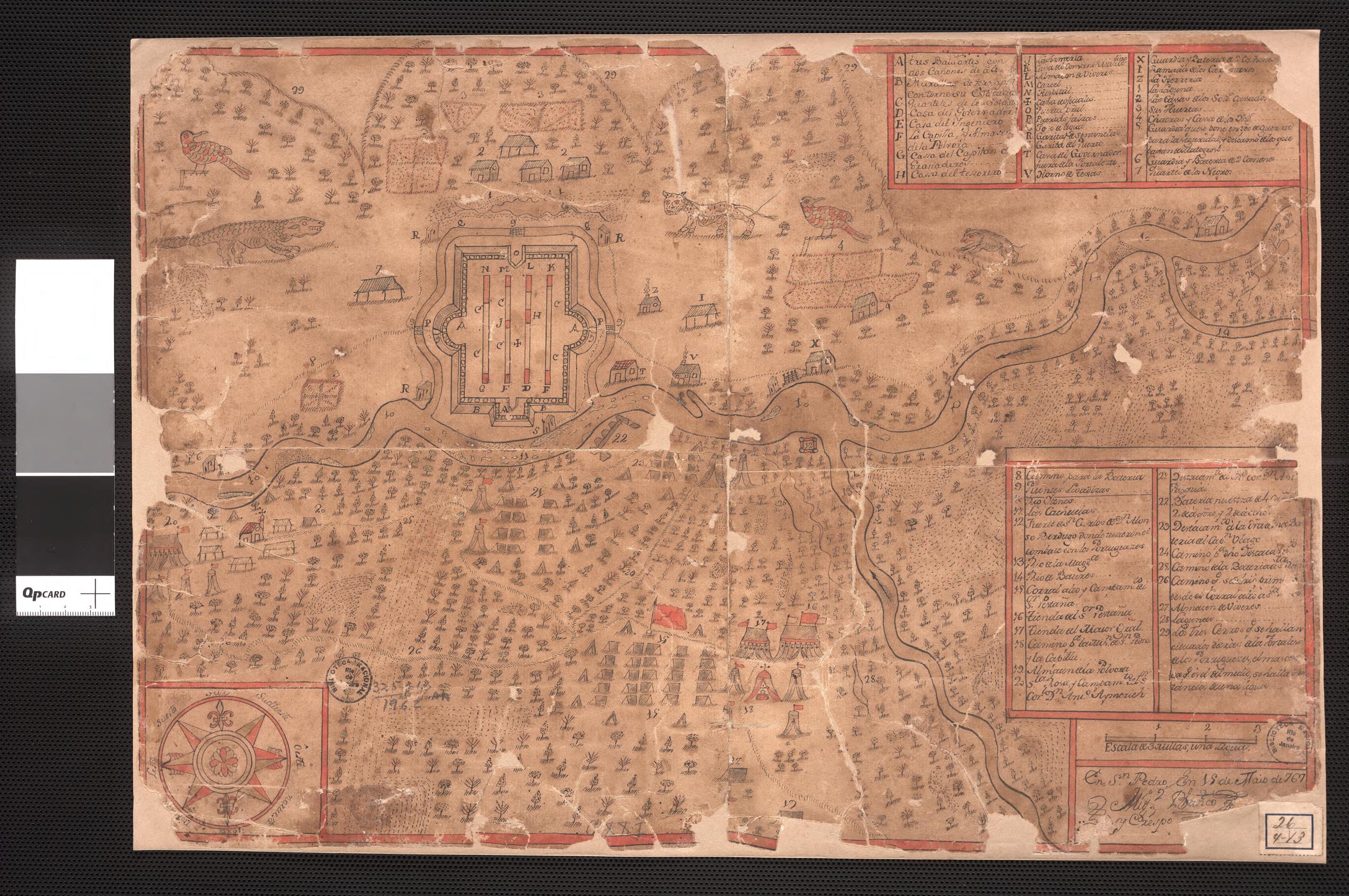
Map of the Region of the Iténez Or Guaporé River and Its Tributaries. (Plano Da Região Do Rio Itenes Ou Guaporé E Seus Afluentes) 1767

Regular price
$19.95
Regular price
$30.95
Sale price
$19.95
Map Description
Old map of Bolivia, Brazil, Rondônia.

and-ink watercolor map shows the Iténez-Guaporé River Basin. The map shows the location of the fortress of Nossa Senhora da Conceição dos Portugueses and the deployment of Spanish troops under command of Alonso Berdugo and Aymerich Tete. This river, now known in Brazil as the Guaporé, forms the border between the Brazilian provinces of Rondônia and Mato Grosso, before flowing north into Bolivia, where it is known as the Iténez.

Created by Miguel Blanco Crespo in 1767.
  • Title devised, in English, by Library staff.
  • Original resource extent: 1 pen-and-ink and watercolor manuscript map ; 33 x 47.5 centimeters.
  • Original resource at: National Library of Brazil.
  • Content in Portuguese.
  • Description based on data extracted from World Digital Library, which may be extracted from partner institutions.

Map Tags

1767

Bolivia

Brazil

Guaporé River (Brazil And Bolivia)

Manuscript Maps

Map

Miguel Blanco Crespo

Rondônia

Fine Art Quality Printed on heavyweight (230 gsm) archival paper with a classic matte finish
Professionally Restored For the best presentation, your map will be carefully retouched by our experienced team
Free Shipping Orders of $75 or more ship for free and arrive in 3-5 business days
Proudly Made in the USA All of our maps are custom printed to order in Portland, Maine
Help with Choosing a Map Size
Secure Checkout
Lifetime Warranty
Money-Back Guarantee
This old map of Map of the Region of the Iténez Or Guaporé River and Its Tributaries. (Plano Da Região Do Rio Itenes Ou Guaporé E Seus Afluentes) from 1767 was created by Miguel Blanco Crespo in 1767