Skip to product information
1 of 1

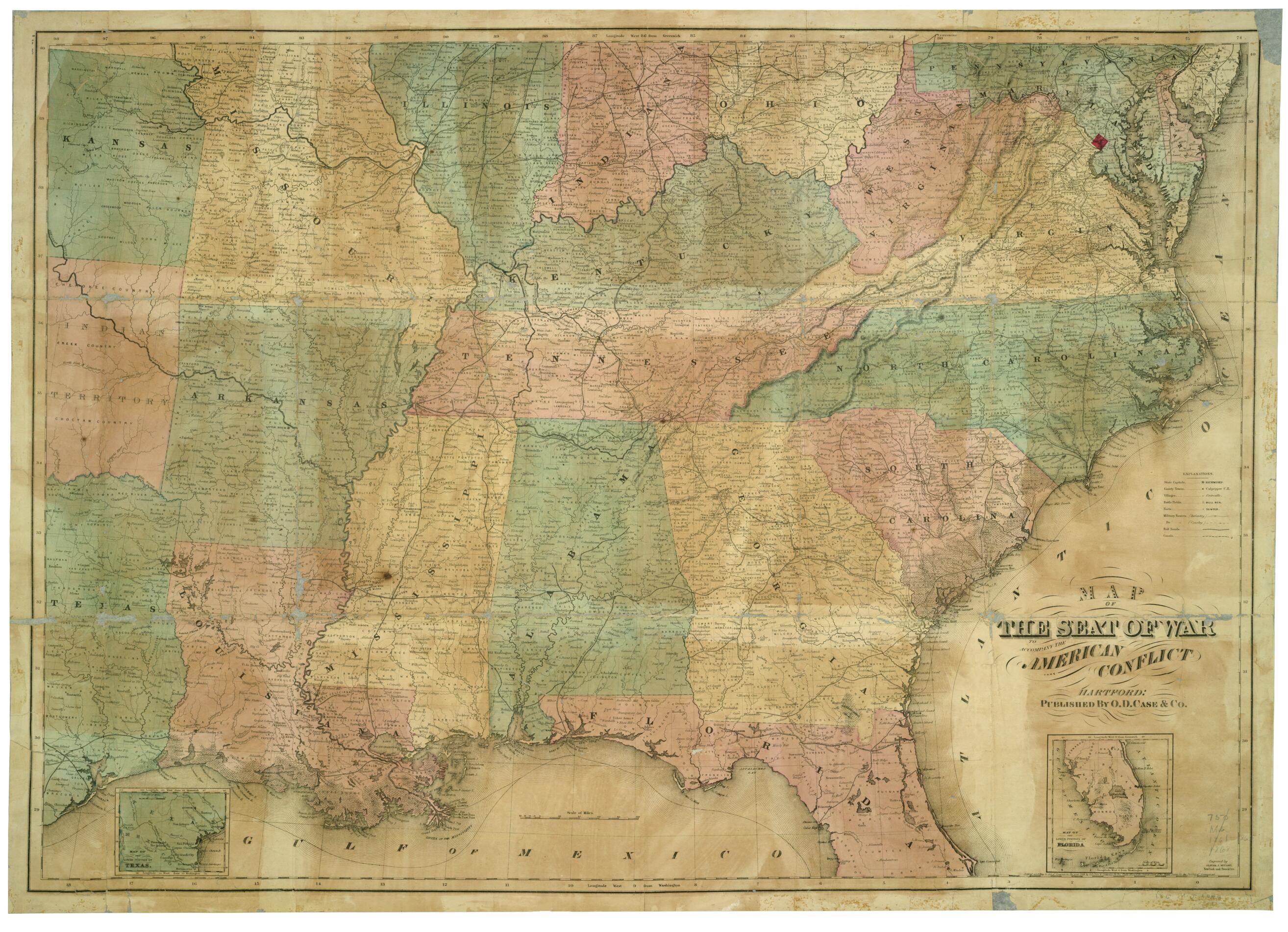
Map of the Seat of War : to Accompany the American Conflict 1868

Regular price
$105.95
Regular price
$158.95
Sale price
$105.95
Map Description
Old map of United States.

Created by O.D. Case & Company, Oliver J. Stuart in 1868.
  • Description derived from published bibliography.
  • Insets: Map of the lower portion of Texas. 7 x 8 cm. - Map of the lower portion of Florida. 11 x 9 cm.
  • Map of the southeastern United States showing battlefields, forts, infantry and calvary routes, towns, railroads, county and state boundaries, and rivers.
  • Prepared to accompany Greeley, Horace. The American Conflict... Hartford, 1867. 2 v.
  • Relief shown by hachures. Depths shown by isolines.
  • This item is in the Map Collection of the Library of Virginia; please contact the Library's Archives Research Services department for more information.
  • Swem, E.G. Maps relating to Virginia, 1248
  • April 2002; Map Cataloging Team.
  • Civil War Map Proj. no.: LVA00036
  • Conservation: Etherington Conservation Center, Jan. 2002.
  • Digital image available: 25.75 x 36.5 in.
  • Map accession no. 5178x.
  • Previously filed as: 750 M6 1861-1865 1868

Map Tags

1868

Civil War

History

Map

Maps

O.D. Case & Company

Oliver J. Stuart

United States

Fine Art Quality Printed on heavyweight (230 gsm) archival paper with a classic matte finish
Professionally Restored For the best presentation, your map will be carefully retouched by our experienced team
Free Shipping Orders of $75 or more ship for free and arrive in 3-5 business days
Proudly Made in the USA All of our maps are custom printed to order in Portland, Maine
Help with Choosing a Map Size
Secure Checkout
Lifetime Warranty
Money-Back Guarantee
This old map of Map of the Seat of War : to Accompany the American Conflict from 1868 was created by  O.D. Case & Company, Oliver J. Stuart in 1868