Skip to product information
1 of 1

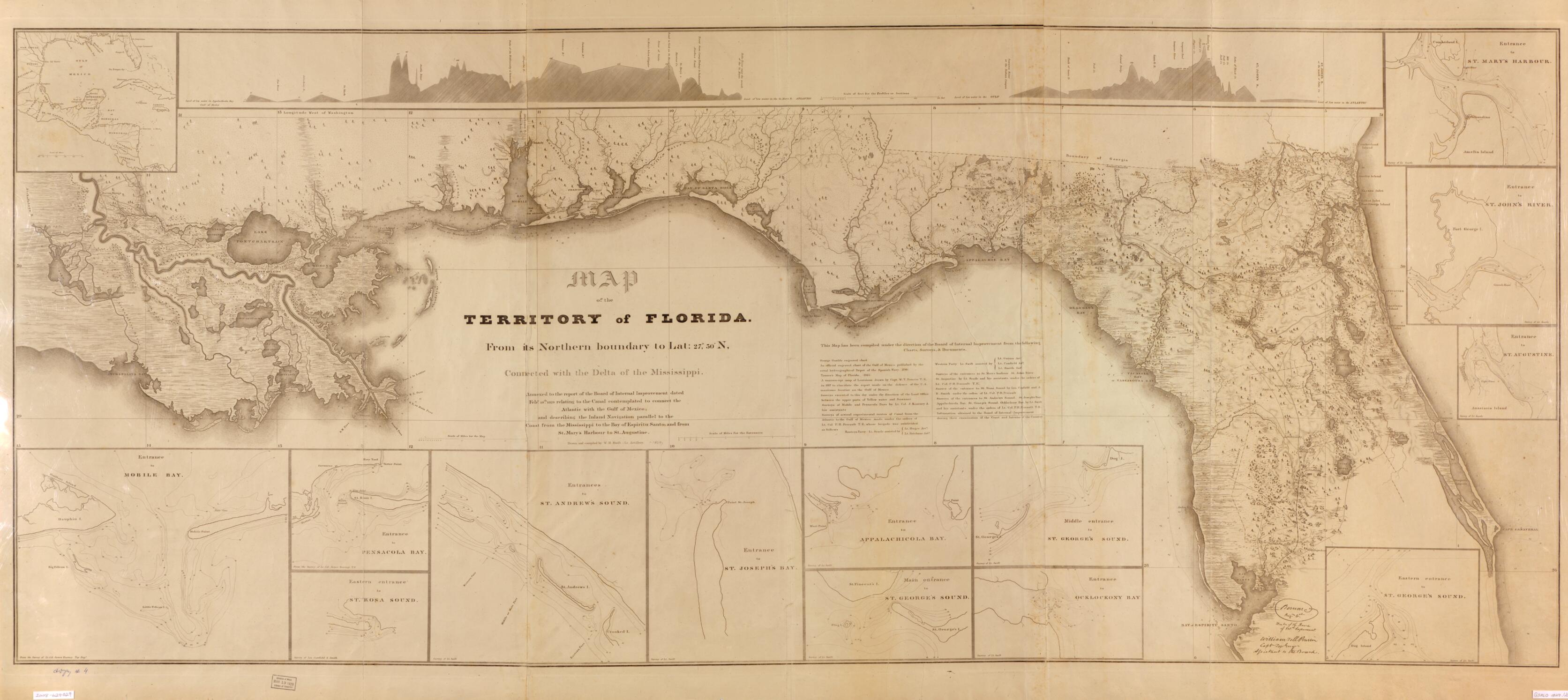
Map of the Territory of Florida, from Its Northern Boundary to Lat. 27⁰30ʹN, Connected With the Delta of the Mississippi : Annexed to the Report of the Board of Internal Improvement Dated Febr. 19th, 1829, Relating to the Canal Contemplated to Conn...

Regular price
$196.95
Regular price
$235.95
Sale price
$196.95
Map Description
Old map of Florida, Southern States, United States.

Created by W. H. (William Henry) Swift, United States. Board of Internal Improvement in 1829.
  • Covers portions of southern states of Florida, Alabama, Mississippi, and Louisiana.
  • Depths shown by soundings.
  • Prime meridian: Washington, D.C.
  • Bibliography.
  • Includes 2 profile charts displaying elevations, area map that extends southward into Gulf of Mexico and Caribbean regions, and 13 insets that show entrances to bays and rivers.
  • Copy This map has some imperfections: stained, creased. We'll do our best to restore the image before printing.

Map Tags

1829

Florida

Map

Maps

Southern States

United States

United States. Board Of Internal Improvement

W. H. (William Henry) Swift

Fine Art Quality Printed on heavyweight (230 gsm) archival paper with a classic matte finish
Professionally Restored For the best presentation, your map will be carefully retouched by our experienced team
Free Shipping Orders of $75 or more ship for free and arrive in 3-5 business days
Proudly Made in the USA All of our maps are custom printed to order in Portland, Maine
Help with Choosing a Map Size
Secure Checkout
Lifetime Warranty
Money-Back Guarantee
This old map of Map of the Territory of Florida, from Its Northern Boundary to Lat. 27⁰30ʹN, Connected With the Delta of the Mississippi : Annexed to the Report of the Board of Internal Improvement Dated Febr. 19th, from 1829, Relating to the Canal Co