
Maps of the Balkan Peninsula 1919
- Regular price
-
$49.95 - Regular price
-
$29.95 - Sale price
-
$49.95
Buy one map, get any other map in our collection for 50% OFF! Add to cart to see discount.
Couldn't load pickup availability
About This Map
Discover the timeless beauty of our fine art quality printed reproduction of this antique map. Perfect for history enthusiasts, collectors, and interior decorators.
Restored with meticulous attention to detail by our team with over a decade of experience, this stunning reproduction captures the intricate artistry and historical significance of the original map.
Whether you're a collector or seeking a unique decor piece, this archival-quality map reproduction is a timeless addition to any space. Order now to bring history to life!
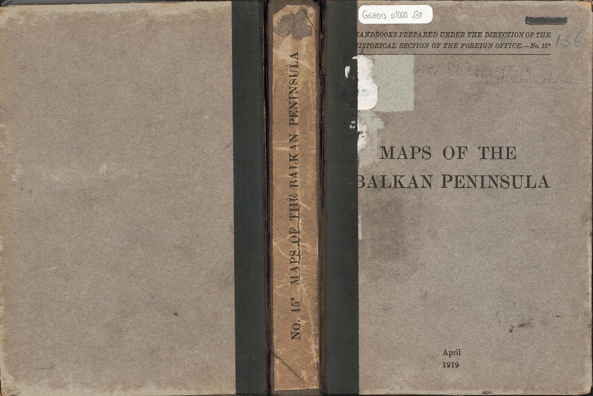
Old map of Balkan Peninsula.Created by Great Britain. Foreign Office. Historical Section, Great Britain. Ordnance Survey, Great Britain. War Office. General Staff. Geographical Section, Royal Geographical Society (Great Britain) in 1919.
- Relief shown by spot heights; relief also shown by contours and gradient tints on some sheets. Depths shown by gradient tints and soundings on some sheets.
- Portfolio title.
- Common title in upper margin of some 1:1,000,000-scale sheets: Europe, scale 1:1,000,000 -- International map, Europe 1:1,000,000.
- Statement of attribution in lower margin of some sheets, e.g.: War Office, Jan'y 1912 -- War Office, December 1918 -- Compiled at the Royal Geographical Society under the direction of the Geographical Section, General Staff.
- Ed. statements in margins of some sheets, e.g.: Drawn and printed by the Ordnance Survey 1915 -- Corrections and additions Aug. 1917 -- Revised Jan'y 1916. Boundary revised Nov'r 1918 -- Provisional edition.
- Publication date on portfolio: April 1919.
- Sheets variously include notes, adjoining-sheet index diagram, coverage map, pronunciation glossary, list of source-material "Authorities", and hypsometric tint diagram in margins.
- Accompanied by supplementary sheet: Table of treaties affecting Balkan boundaries, to explain historical map. [1] sheet : table ; 32 x 38 cm.
- Table of contents on inside of portfolio.
Map Subjects
Balkan Peninsula
Boundaries
Territorial Questions
Treaties
World War
Great Britain. Foreign Office. Historical Section
Great Britain. Ordnance Survey
Great Britain. War Office. General Staff. Geographical Section
Royal Geographical Society (Great Britain)
1919
- For the best legibility, order your map in the original size or larger. Most maps have intricate detail and small text that is best appreciated when the print size hasn't been reduced.
- Sizes labeled "Fits a Standard Frame" will drop right into any frame that you purchase in that size. The sizes that we offer are commonly available online and at most retail stores.
- Our standard sizes are recommendations based on the aspect ratio of the original map, but still may require some added "white space" in one dimension to fit.
- Non-standard sizes will require custom framing, and we suggest taking your print to the frame shop of your choice after you receive it for the best results.
- Custom sizes are available, simply contact us for a quote.
Below is an approximation of the scale of a few standard sizes, and how they might appear in your space.
