
Military Sketch of the Country Between the Danube and Constantinople (Theatre of War In Turkey) 1828
- Regular price
-
$109.95 - Regular price
-
$104.95 - Sale price
-
$109.95
Buy one map, get any other map in our collection for 50% OFF! Add to cart to see discount.
Couldn't load pickup availability
About This Map
Discover the timeless beauty of our fine art quality printed reproduction of this antique map. Perfect for history enthusiasts, collectors, and interior decorators.
Restored with meticulous attention to detail by our team with over a decade of experience, this stunning reproduction captures the intricate artistry and historical significance of the original map.
Whether you're a collector or seeking a unique decor piece, this archival-quality map reproduction is a timeless addition to any space. Order now to bring history to life!
Old physical map / military map of Black Sea, Black Sea Coast, Bosporus, Bulgaria, Danube River Delta, Fortification, Romania, Turkey, Ukraine.Created by Millard Fillmore, Prussia (Kingdom). Armee. Grosser Generalstab, James Wyld in 1828.
- Physical relief map of the western littoral region of the Black Sea between the Danube Delta (Romania) and the Bosporus (Turkey)--part of the Ottoman Empire.
- Relief shown by hachures.
- Issued at the time of the Russo-Turkish War of 1828-1829.
- Hand colored to emphasize coastlines and the delta.
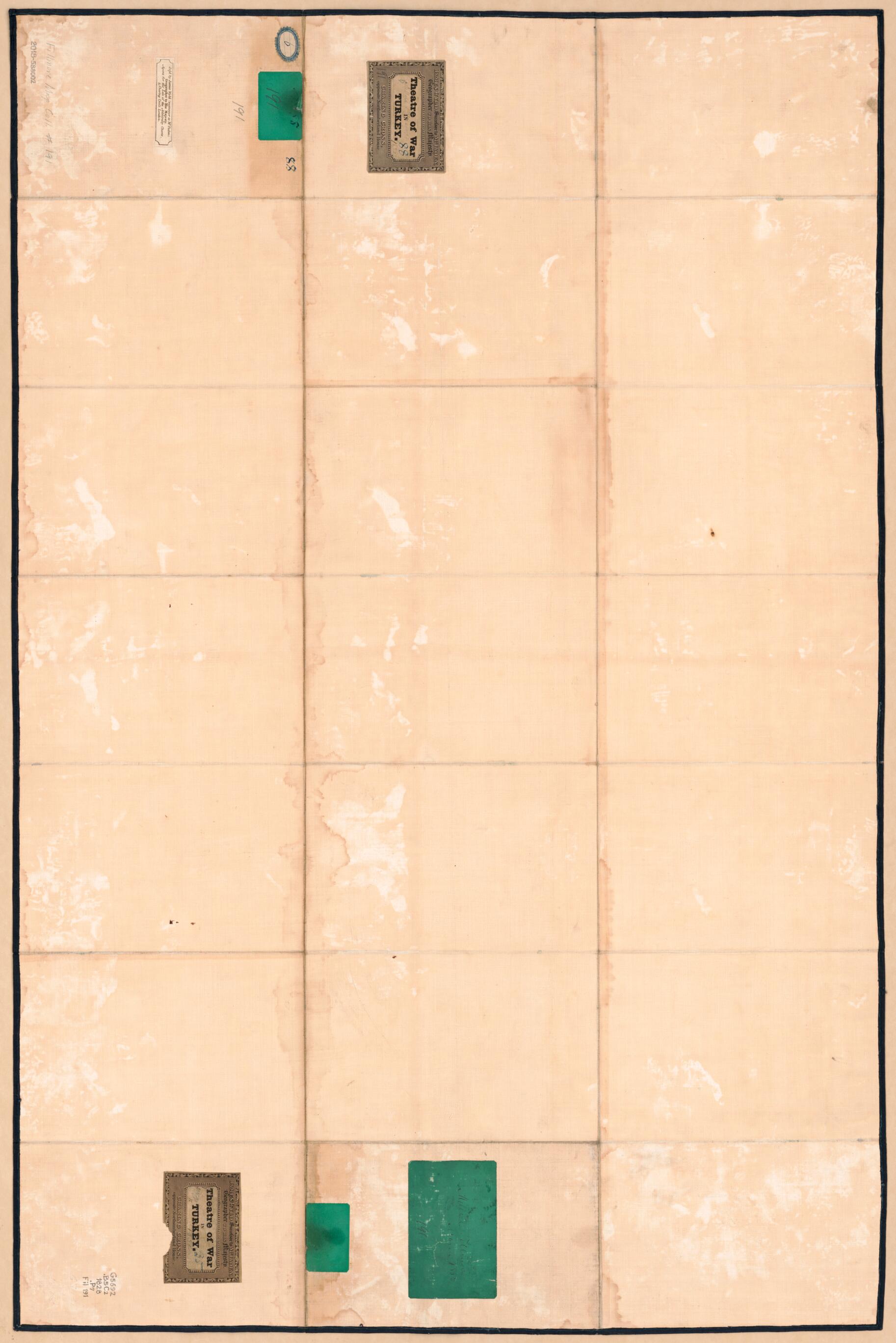
- When affixed to the cloth backing the map sheet was sectioned to 21 panels to enable folding.
- The printed map is a lithograph with a manuscript (india ink) border.
- Includes inset map of "Defences of the Bosphorus" and bar scale.
- Two printed title labels, publisher's advert label, and handwritten (cursive script) identification label signed "Millard Fillmore, March 1856, 191" affixed to cloth backing (verso).
- For the best legibility, order your map in the original size or larger. Most maps have intricate detail and small text that is best appreciated when the print size hasn't been reduced.
- Sizes labeled "Fits a Standard Frame" will drop right into any frame that you purchase in that size. The sizes that we offer are commonly available online and at most retail stores.
- Our standard sizes are recommendations based on the aspect ratio of the original map, but still may require some added "white space" in one dimension to fit.
- Non-standard sizes will require custom framing, and we suggest taking your print to the frame shop of your choice after you receive it for the best results.
- Custom sizes are available, simply contact us for a quote.
Below is an approximation of the scale of a few standard sizes, and how they might appear in your space.

