Skip to product information
1 of 1

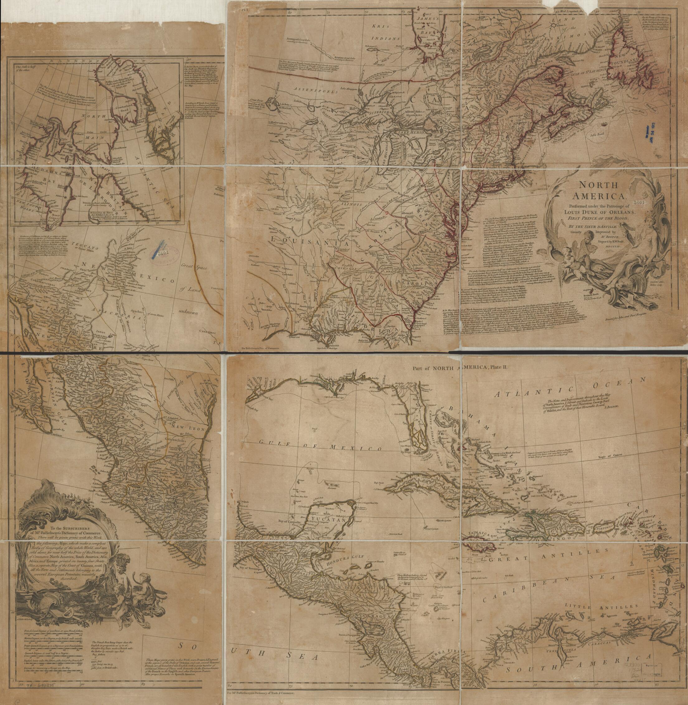
North America, Performed Under the Patronage of Louis Duke of Orleans, First Prince of the Blood; 1752

Regular price
$128.95
Regular price
$180.95
Sale price
$128.95
Map Description
Old map of North America.

Created by Jean Baptiste Bourguignon D Anville, Solomon Bolton, Hubert François Gravelot, John and Paul Knapton (Firm), Malachy Postlethwayt, Richard William Seale, Anthony Walker in 1752.
  • Scale ca. 1:6,000,000.
  • Hand colored.
  • Relief shown pictorially.
  • Shows provinces, cities and towns, forts, Indian villages and tribal territory.
  • Also shows shoals, banks, and other navigational hazards off the coast of Nova Scotia and in the Caribbean area.
  • "N.B. This large map of North America was originally engrav'd at Paris, ..."
  • Includes historical and descriptive notes, and an inset chart of Baffin Bay and Hudson Bay.

Map Tags

1752

Anthony Walker

Early Works To 1800

Hubert François Gravelot

Jean Baptiste Bourguignon D Anville

John And Paul Knapton (Firm)

Malachy Postlethwayt

Map

Maps

North America

Richard William Seale

Solomon Bolton

Fine Art Quality Printed on heavyweight (230 gsm) archival paper with a classic matte finish
Professionally Restored For the best presentation, your map will be carefully retouched by our experienced team
Free Shipping Orders of $75 or more ship for free and arrive in 3-5 business days
Proudly Made in the USA All of our maps are custom printed to order in Portland, Maine
Help with Choosing a Map Size
Secure Checkout
Lifetime Warranty
Money-Back Guarantee
This old map of North America, Performed Under the Patronage of Louis Duke of Orleans, First Prince of the Blood; from 1752 was created by Jean Baptiste Bourguignon D Anville, Solomon Bolton, Hubert François Gravelot,  John and Paul Knapton (Firm), Mala