
Nueba Descripcion De El Gran Rio De La Plata Nuebmente Corregido, De Muchos Errores, Expresando Las Brazas Que Ay De Bajamar, Ordinaxia Admirtiendo Que Enlas Mareas Grandes, Que Suseden, Conlos Vientos, Sure Y Sueste, Crese El Agua, Algo Mas De De Una...
- Regular price
-
$174.95 - Regular price
-
$169.95 - Sale price
-
$174.95
Buy one map, get any other map in our collection for 50% OFF! Add to cart to see discount.
Couldn't load pickup availability
About This Map
Discover the timeless beauty of our fine art quality printed reproduction of this antique map. Perfect for history enthusiasts, collectors, and interior decorators.
Restored with meticulous attention to detail by our team with over a decade of experience, this stunning reproduction captures the intricate artistry and historical significance of the original map.
Whether you're a collector or seeking a unique decor piece, this archival-quality map reproduction is a timeless addition to any space. Order now to bring history to life!
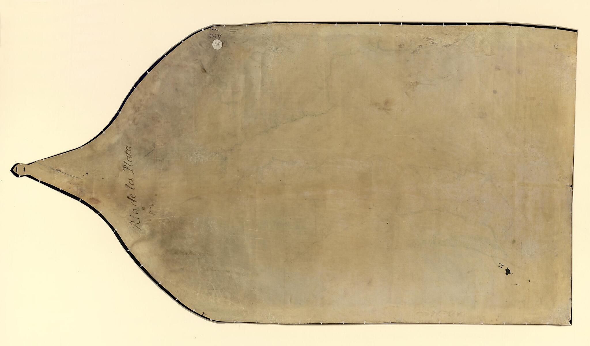
Old manuscript map / portolan chart / early map of Argentina, Rio De La Plata, Río De La Plata, Uruguay.Created by Sardinera in 1750.
- Depths shown by soundings.
- Pen-and-ink and gouache.
- Includes two insets showing Barragan and the Montevideo harbor and color illustrations.
- Annotated "Phillipps MS. 26437" on recto and verso, indicating the chart was in the collection of Sir Thomas Phillipps. Also on verso is a label marked "407", the catalog number of the map from the Sotheby's London sale of July 24-27, 1919 at which the chart was purchased.
Map Subjects
Argentina
Early Maps
Early Works To 1800
Manuscript Maps
Portolan Charts
Rio De La Plata
Río De La Plata (Argentina And Uruguay)
Uruguay
Río De La Plata
Sardinera
1750
- For the best legibility, order your map in the original size or larger. Most maps have intricate detail and small text that is best appreciated when the print size hasn't been reduced.
- Sizes labeled "Fits a Standard Frame" will drop right into any frame that you purchase in that size. The sizes that we offer are commonly available online and at most retail stores.
- Our standard sizes are recommendations based on the aspect ratio of the original map, but still may require some added "white space" in one dimension to fit.
- Non-standard sizes will require custom framing, and we suggest taking your print to the frame shop of your choice after you receive it for the best results.
- Custom sizes are available, simply contact us for a quote.
Below is an approximation of the scale of a few standard sizes, and how they might appear in your space.
