Skip to product information
1 of 1

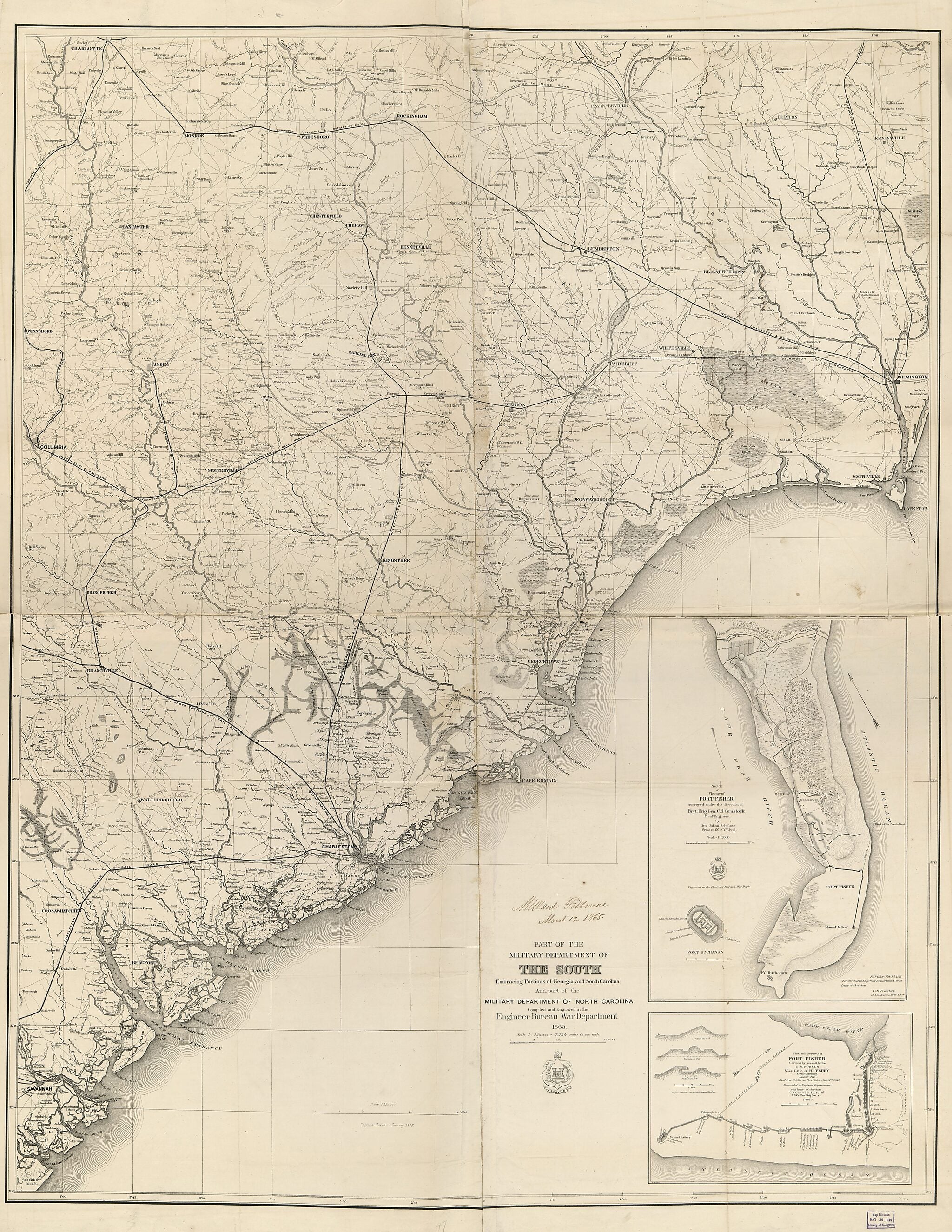
Part of the Military Department of the South, Embracing Portions of Georgia and South Carolina 1865

Regular price
$163.95
Regular price
$213.95
Sale price
$163.95
Help with Choosing a Map Size

90-Day Satisfaction Guarantee & Free Returns

About This Map
Old map of South Atlantic States, United States.

Created by Millard Fillmore, United States. Army. Corps of Engineers in 1865.
  • Civil War Map
  • Shows roads, railroads, rivers, place names, and some houses and names of residents.
  • Covers western South Carolina and northern Georgia extending from the North Carolina-South Carolina border south to Jacksonville, Georgia and from Camden, South Carolina west to Athens, Georgia.
  • In this issue, the Corps of Engineers insignia printed approximately 1 cm to the left of the map title is framed by a single line, an eagle on a perch looking to the left, and "Essayons" is printed on a banner below the insignia.
  • Bar scale, producing agency, and date have been dropped from the lower right corner of map.
  • Written in ink in lower margin: Library of the Department of State.
  • Description derived from published bibliography.
  • Copy This map has some imperfections: very fragile, torn and repaired, also torn along fold line with minor losses. We'll do our best to restore the image before printing.

Map Subjects

South Atlantic States

United States

Millard Fillmore

United States. Army. Corps Of Engineers

1865

Map Tags

1865

Map

Maps

Millard Fillmore

South Atlantic States

United States

United States. Army. Corps Of Engineers

Secure Checkout
Lifetime Warranty
Money-Back Guarantee
This old map of Part of the Military Department of the South, Embracing Portions of Georgia and South Carolina from 1865 was created by Millard Fillmore,  United States. Army. Corps of Engineers in 1865