
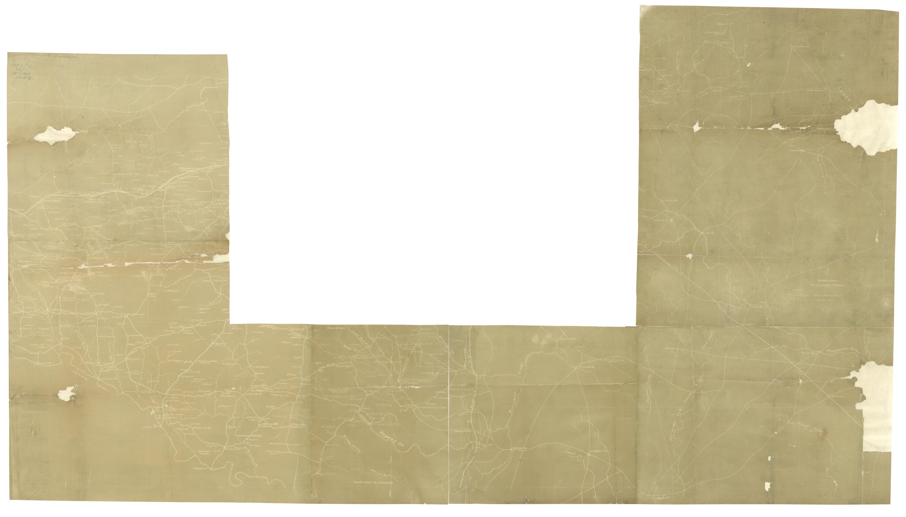
Petersburg, Dinwiddie County Sheets in 1864
- Regular price
-
$167.95 - Regular price
-
$162.95 - Sale price
-
$167.95
Shipping calculated at checkout.
Buy one map, get any other map in our collection for 50% OFF! Add to cart to see discount.
Couldn't load pickup availability
About This Map
Old map of Petersburg Region, United States, Virginia.
Created by N. (Nathaniel) Michler, United States. Army of the Potomac. Engineer Dept in 1864.
Created by N. (Nathaniel) Michler, United States. Army of the Potomac. Engineer Dept in 1864.
- Accompanied by manuscript index map.
- Shows rivers, railroads, roads, towns and houses with owners names.
- This item is in the Map Collection of the Library of Virginia; please contact the Library's Archives Research Services department for more information.
- Title derived from published bibliography.
- Swem, E.G. Maps relating to Virginia, 1142
- Dec. 2003, Map Cataloging Team.
- Civil War project no.: lva00174.
- Conservation: Etherington Conservation Center, Oct. 2003.
- Digital image available: 30 1/4 x 54 in.
- Map accession no.: 5243X.
- Portion of the map with area closest to Petersburg missing. Also has small holes in map.
- Previously filed as: 755.1 M6 1861-1865 1864 (5).
Map Sizing Information
- For the best legibility, order your map in the original size or larger. Most maps have intricate detail and small text that is best appreciated when the print size hasn't been reduced.
- Sizes labeled "Fits a Standard Frame" will drop right into any frame that you purchase in that size. The sizes that we offer are commonly available online and at most retail stores.
- Our standard sizes are recommendations based on the aspect ratio of the original map, but still may require some added "white space" in one dimension to fit.
- Non-standard sizes will require custom framing, and we suggest taking your print to the frame shop of your choice after you receive it for the best results.
- Custom sizes are available, simply contact us for a quote.
Below is an approximation of the scale of a few standard sizes, and how they might appear in your space.
