
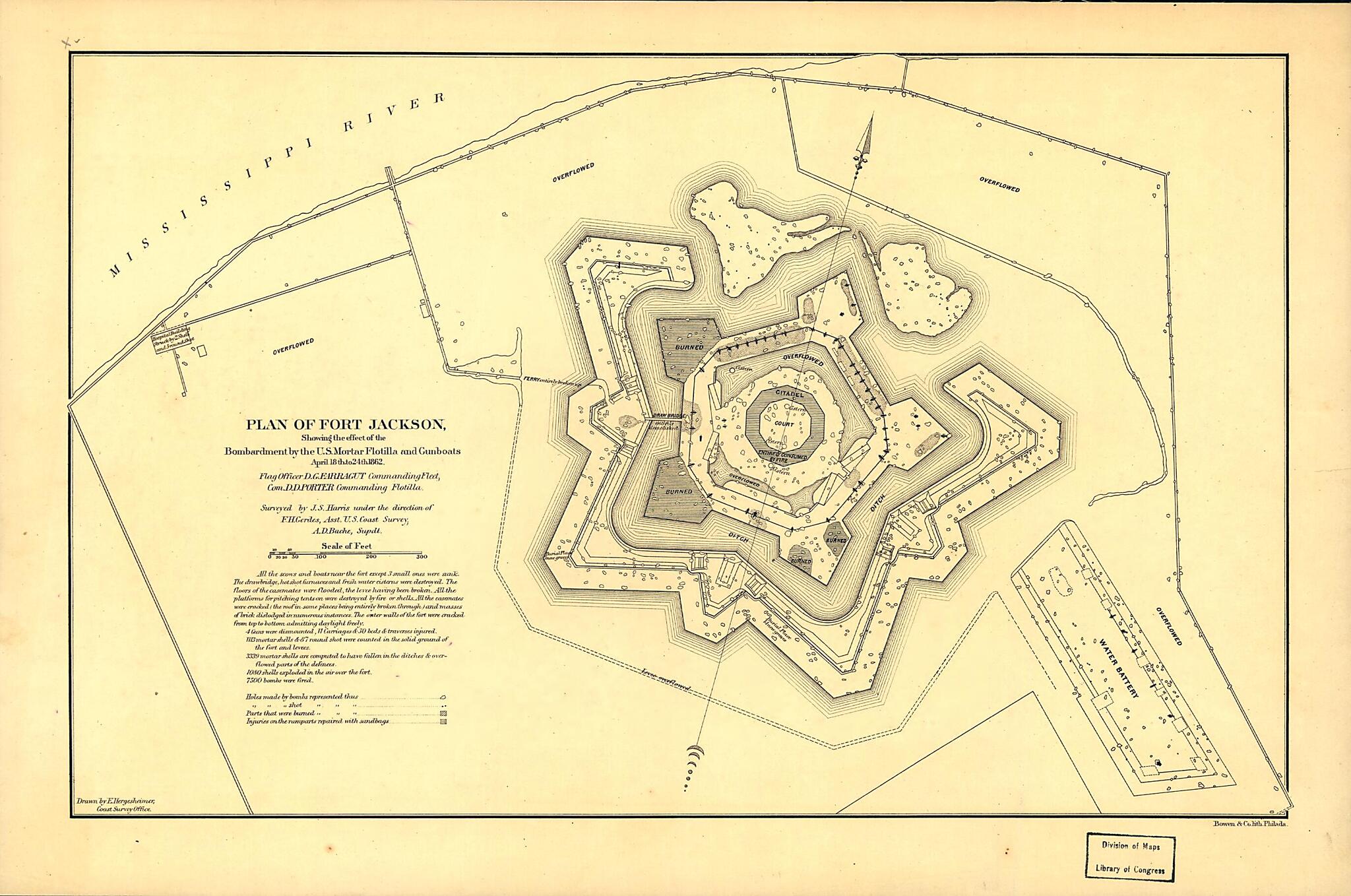
Plan of Fort Jackson, Showing the Effect of the Bombardment by the U.S. Mortar Flotilla and Gunboats, April 18th to 24th 1862 : Flag Officer D.G. Farragut Commanding Fleet, Com. D.D. Porter Commanding Flotilla
- Regular price
-
$49.95 - Regular price
-
$29.95 - Sale price
-
$49.95
Shipping calculated at checkout.
Buy one map, get any other map in our collection for 50% OFF! Add to cart to see discount.
Couldn't load pickup availability
About This Map
Old map of Fort Jackson, Fort Jackson Region, Louisiana, Mississippi River, United States.
Created by A. D. (Alexander Dallas) Bache, Bowen & Co, F. H. Gerdes, J. S. Harris, Joseph R. (Joseph Roswell) Hawley, E. (Edwin) Hergesheimer, United States Coast Survey in 1862.
Created by A. D. (Alexander Dallas) Bache, Bowen & Co, F. H. Gerdes, J. S. Harris, Joseph R. (Joseph Roswell) Hawley, E. (Edwin) Hergesheimer, United States Coast Survey in 1862.
- Annotated in pencil on verso: Plan of Fort Jackson. [1862?].
- Civil War Map
- Includes explanatory note.
Map Subjects
Civil War
Fort Jackson (La.)
Fort Jackson Region
History
Louisiana
Mississippi River
United States
Fort Jackson
A. D. (Alexander Dallas) Bache
Bowen & Co
F. H. Gerdes
J. S. Harris
Joseph R. (Joseph Roswell) Hawley
E. (Edwin) Hergesheimer
United States Coast Survey
1862
Map Sizing Information
- For the best legibility, order your map in the original size or larger. Most maps have intricate detail and small text that is best appreciated when the print size hasn't been reduced.
- Sizes labeled "Fits a Standard Frame" will drop right into any frame that you purchase in that size. The sizes that we offer are commonly available online and at most retail stores.
- Our standard sizes are recommendations based on the aspect ratio of the original map, but still may require some added "white space" in one dimension to fit.
- Non-standard sizes will require custom framing, and we suggest taking your print to the frame shop of your choice after you receive it for the best results.
- Custom sizes are available, simply contact us for a quote.
Below is an approximation of the scale of a few standard sizes, and how they might appear in your space.
