Skip to product information
1 of 1

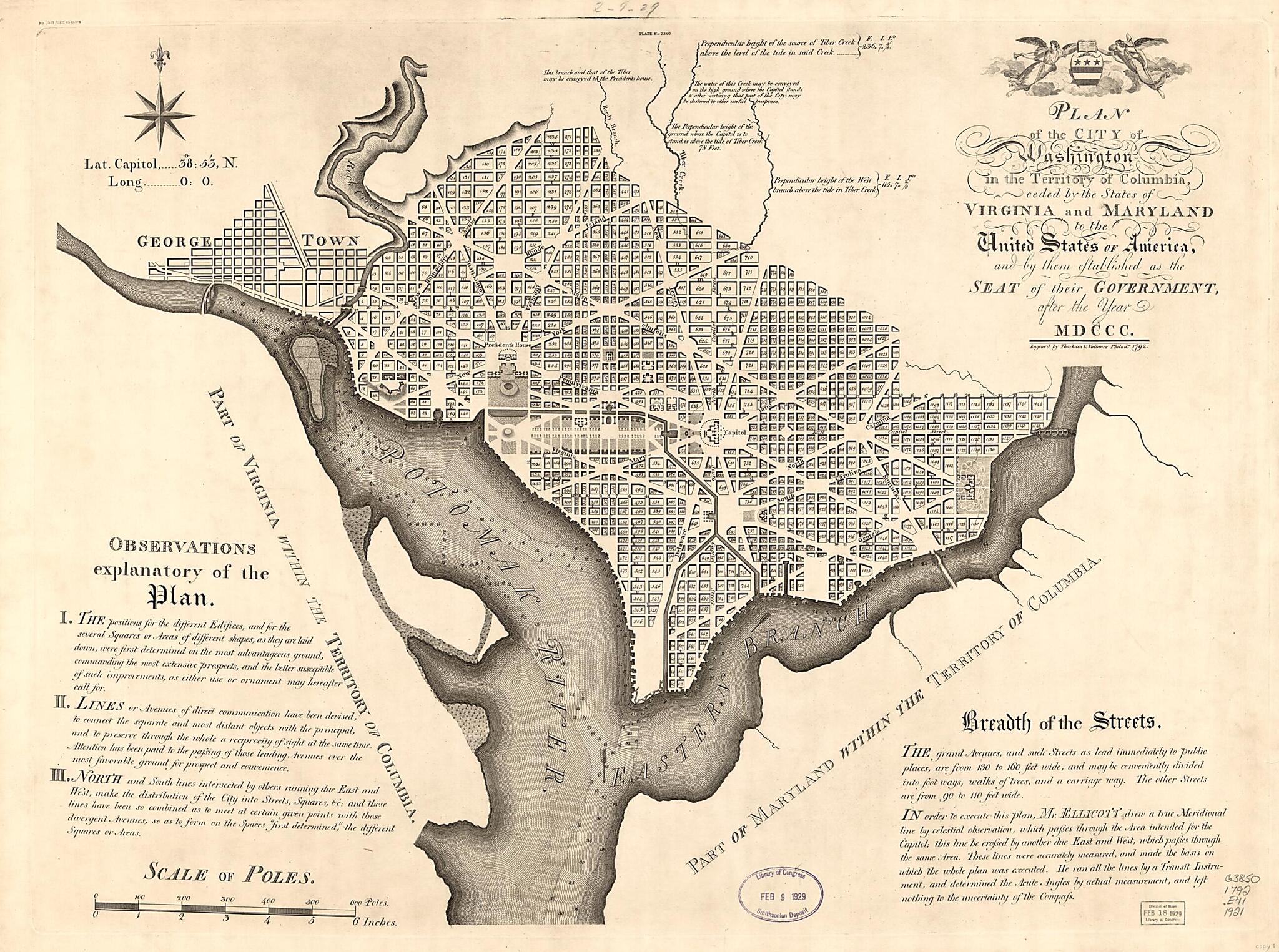
Plan of the City of Washington In the Territory of Columbia : Ceded by the States of Virginia and Maryland to the United States of America, and by Them Established As the Seat of Their Government, After the Year MDCCC 1792

Regular price
$69.95
Regular price
$102.95
Sale price
$69.95
Help with Choosing a Map Size

90-Day Satisfaction Guarantee & Free Returns

About This Map
Old map of District of Columbia, Georgetown, United States, Washington, Washington D.C..

Created by Andrew Ellicott, Thackara & Vallance, U.S. Coast and Geodetic Survey in 1792.
  • Shows block numbers and proposed government buildings.
  • Relief shown by hachures. Depths shown by soundings.
  • Also covers Georgetown.
  • Facsimile.
  • Original version: Engrav'd by Thackara & Vallance Philad'a 1792. [Philadelphia : s.n., 1792].
  • Includes text, notes, and coat-of-arms.
  • At top center: Plate no. 2340.
  • In left upper margin: No. 3035 price 45 cents.
  • Variously soiled, torn, fold-lined, laminated, and mounted on cloth backing.
  • 3 copies

Map Subjects

District Of Columbia

Early Works To 1800

Facsimiles

Georgetown

Georgetown (Washington D.C.)

United States

Washington

Washington (D.C.)

Washington D.C.

Andrew Ellicott

Thackara & Vallance

U.S. Coast And Geodetic Survey

1792

Map Tags

1792

Andrew Ellicott

District Of Columbia

Early Works To 1800

Facsimiles

Georgetown

Georgetown (Washington D.C.)

Map

Maps

Thackara & Vallance

U.S. Coast And Geodetic Survey

United States

Washington

Washington (D.C.)

Secure Checkout
Lifetime Warranty
Money-Back Guarantee
This old map of Plan of the City of Washington In the Territory of Columbia : Ceded by the States of Virginia and Maryland to the United States of America, and by Them Established As the Seat of Their Government, After the Year MDCCC from 1792 was create