Skip to product information
1 of 1

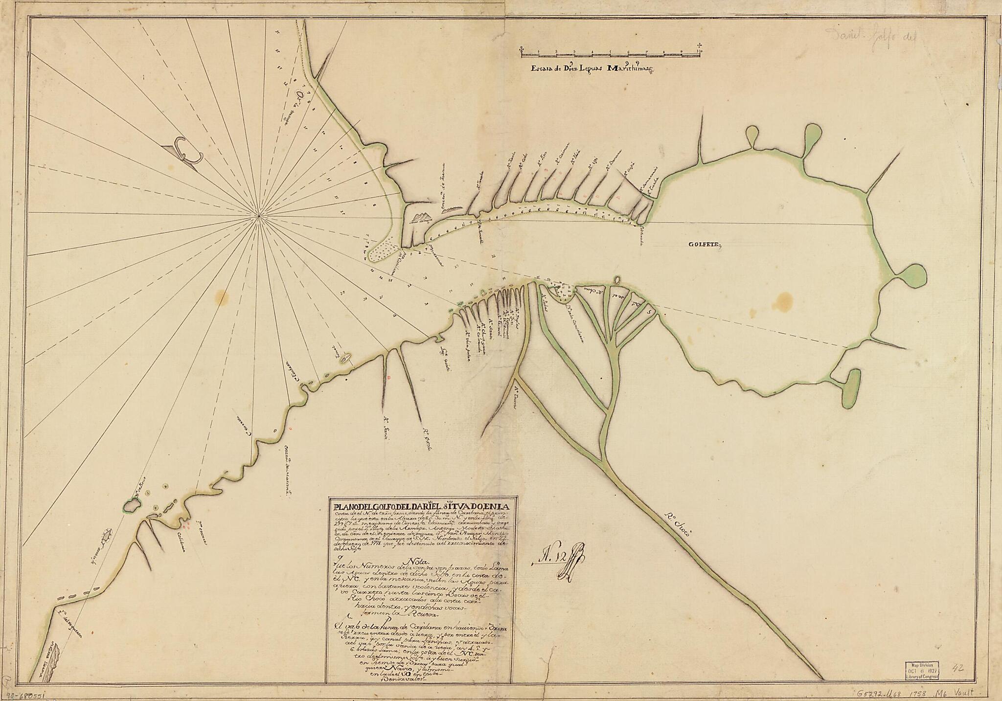
Plano Del Golfo Del Dariel Situado En La Costa De El N. De Trra. Firme Siendo La Punta De Caribana, El Principio La Que Esta En La Altura De 8 Gs. 30 Ms. N. Y En La Longd. De 299 Gs. 7 Ms., Meridiano De Tenerife 1758

Regular price
$67.95
Regular price
$98.95
Sale price
$67.95
Map Description
Old map of Colombia, Gulf of Urabá, Urabá, Gulf Of..

Created by Antonio Modesto Matheos in 1758.
  • Relief shown pictorially. Depths shown by soundings.
  • Prime meridian: Tenerife.
  • Oriented with north toward the upper left.
  • Watermarks: IV; and, Strasburg fleur-de-lis over the characters VDL.
  • Pen-and-ink and watercolor.
  • Mounted on cloth backing.
  • Includes notes.
  • Annotated in black ink in lower sheet: N. 12 [indecipherable].
  • Maggs number annotated in pencil in lower right corner: 42.

Map Subjects

Coasts

Colombia

Early Works To 1800

Maps Manuscript

Urabá Gulf Of

Urabá Gulf Of (Colombia)

Gulf Of Urabá

Urabá Gulf Of.

Antonio Modesto Matheos

1758

Map Tags

1758

Antonio Modesto Matheos

Coasts

Colombia

Early Works To 1800

Gulf Of Urabá

Map

Maps Manuscript

Urabá Gulf Of

Urabá Gulf Of (Colombia)

Fine Art Quality Printed on heavyweight (230 gsm) archival paper with a classic matte finish
Professionally Restored For the best presentation, your map will be carefully retouched by our experienced team
Free Shipping Orders of $75 or more ship for free and arrive in 3-5 business days
Proudly Made in the USA All of our maps are custom printed to order in Portland, Maine
Help with Choosing a Map Size
Secure Checkout
Lifetime Warranty
Money-Back Guarantee
This old map of Plano Del Golfo Del Dariel Situado En La Costa De El N. De Trra. Firme Siendo La Punta De Caribana, El Principio La Que Esta En La Altura De 8 Gs. 30 Ms. N. Y En La Longd. De 299 Gs. 7 Ms., Meridiano De Tenerife from 1758 was created by A