
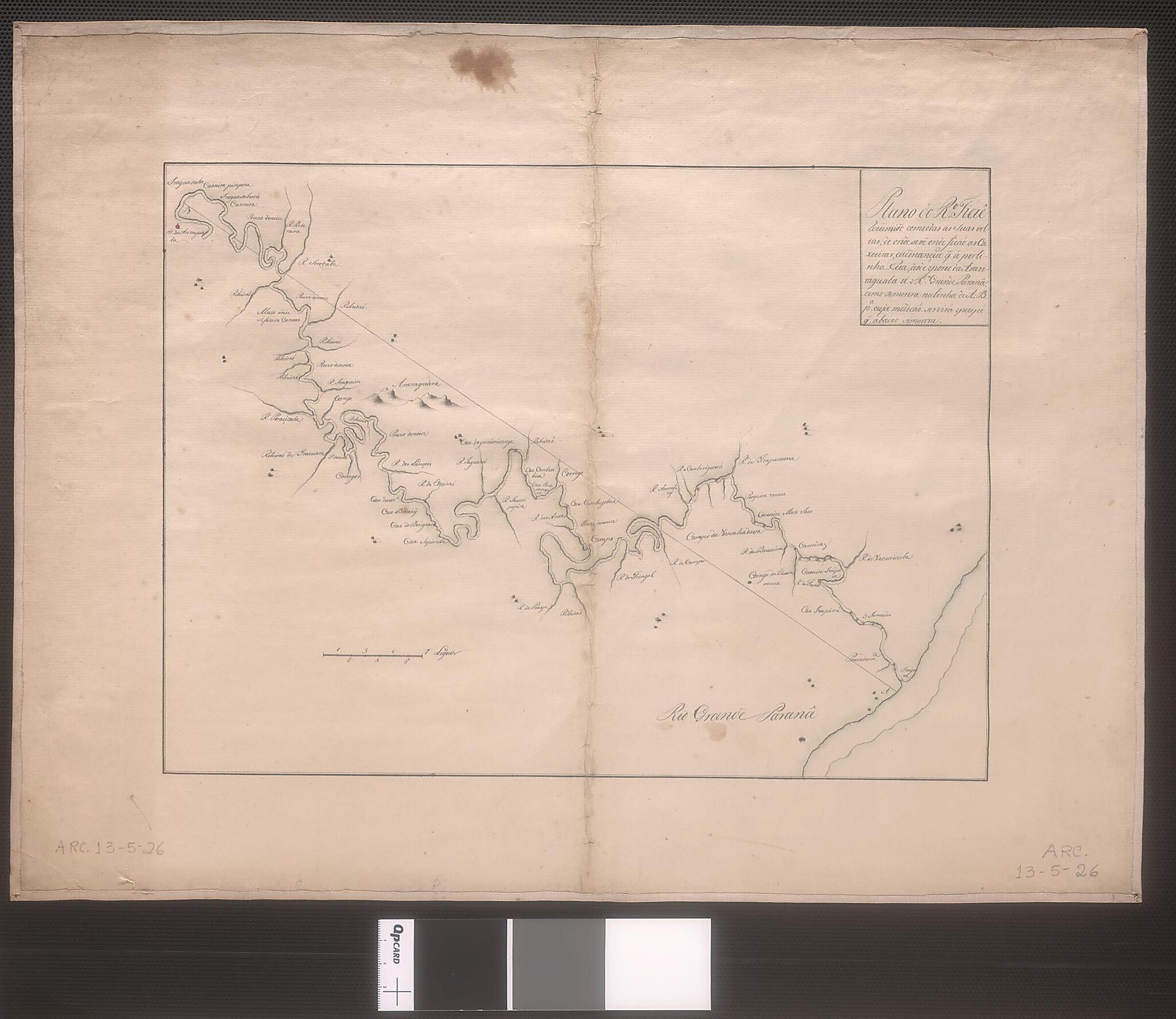
Plan of the Tietê River Summarized With All Its Turns: Waterfalls Are from Port of the Araritaguaba Up to the Big Paraná River. (Plano Do Rio Tietê Resumido Com Todas As Suas Voltas : De Onde Se Vê Onde Ficam As Caxoeiras E a Distancia Q. a Por Li...
- Regular price
-
$54.95 - Regular price
-
$30.95 - Sale price
-
$54.95
Shipping calculated at checkout.
Buy one map, get any other map in our collection for 50% OFF! Add to cart to see discount.
Couldn't load pickup availability
About This Map
Old map of Brazil.
This map shows the Tietê River, which runs for 1,100 kilometers through the southeastern Brazilian state of São Paulo before connecting with the Paraná River, South America's second longest river. Although the source of the river is located near the sea, the topography of the region forces the river to flow into the interior of the continent. Brazil's largest city, São Paulo, grew up along the banks of the Tietê.
This map shows the Tietê River, which runs for 1,100 kilometers through the southeastern Brazilian state of São Paulo before connecting with the Paraná River, South America's second longest river. Although the source of the river is located near the sea, the topography of the region forces the river to flow into the interior of the continent. Brazil's largest city, São Paulo, grew up along the banks of the Tietê.
- Title devised, in English, by Library staff.
- Original resource extent: 1 manuscript map : 26.5 x 35.55 centimeters.
- Original resource at: National Library of Brazil.
- Content in Portuguese.
- Description based on data extracted from World Digital Library, which may be extracted from partner institutions.
Map Subjects
1700 To 1799
Brazil
Iguatemi River
Manuscript Maps
Rivers
Tietê River
Waterfalls
1700
Map Sizing Information
- For the best legibility, order your map in the original size or larger. Most maps have intricate detail and small text that is best appreciated when the print size hasn't been reduced.
- Sizes labeled "Fits a Standard Frame" will drop right into any frame that you purchase in that size. The sizes that we offer are commonly available online and at most retail stores.
- Our standard sizes are recommendations based on the aspect ratio of the original map, but still may require some added "white space" in one dimension to fit.
- Non-standard sizes will require custom framing, and we suggest taking your print to the frame shop of your choice after you receive it for the best results.
- Custom sizes are available, simply contact us for a quote.
Below is an approximation of the scale of a few standard sizes, and how they might appear in your space.

