Skip to product information
1 of 1

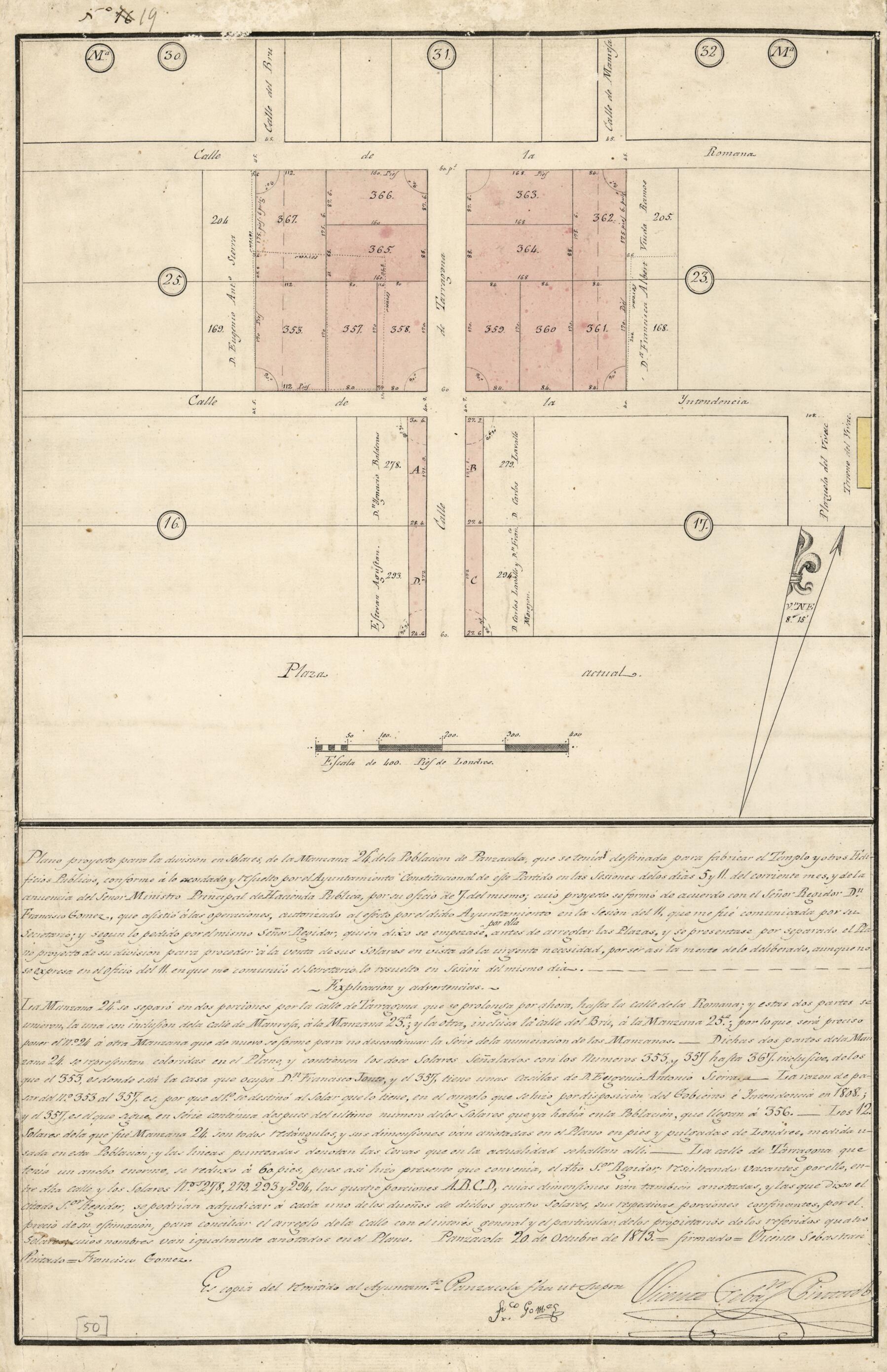
Plano Proyecto Para La División En Solares, De La Manzana 24a. De La Población De Panzacola, Que Se Tenía Destinada Para Fabricar El Templo Y Otros Edificios Públicos, Conforme á Lo Acordado Y Resuelto Por El Ayuntamiento Constitucional De Este P...

Regular price
$31.95
Regular price
$49.95
Sale price
$31.95
Map Description
Old cadastral map of Florida, Pensacola, United States.

Created by Vicente Sebastián Pintado in 1813.
  • Cadastral map; some unclaimed lots.
  • "Panzacola, 20 de octubre de 1813."
  • Author's signature in lower right corner.
  • Pen-and-ink and watercolor.
  • From the papers of Vicente Sebastián Pintado.
  • Described in: Vicente Sebastián Pintado, Surveyor General of Spanish West Florida, 1805-17 : the man and his maps / by John R. Hébert. Imago mundi, v. 39, pp. 50-72. 1987. p. 70, no. 50.
  • Includes explanatory notes.
  • In upper left corner: No. 19.

Map Tags

1813

Cadastral Maps

Florida

Manuscript Maps

Map

Maps

Pensacola

Pensacola (Fla.)

Real Property

United States

Vicente Sebastián Pintado

Fine Art Quality Printed on heavyweight (230 gsm) archival paper with a classic matte finish
Professionally Restored For the best presentation, your map will be carefully retouched by our experienced team
Free Shipping Orders of $75 or more ship for free and arrive in 3-5 business days
Proudly Made in the USA All of our maps are custom printed to order in Portland, Maine
Help with Choosing a Map Size
Secure Checkout
Lifetime Warranty
Money-Back Guarantee
This old map of Plano Proyecto Para La División En Solares, De La Manzana 24a. De La Población De Panzacola, Que Se Tenía Destinada Para Fabricar El Templo Y Otros Edificios Públicos, Conforme á Lo Acordado Y Resuelto Por El Ayuntamiento Constitucio