


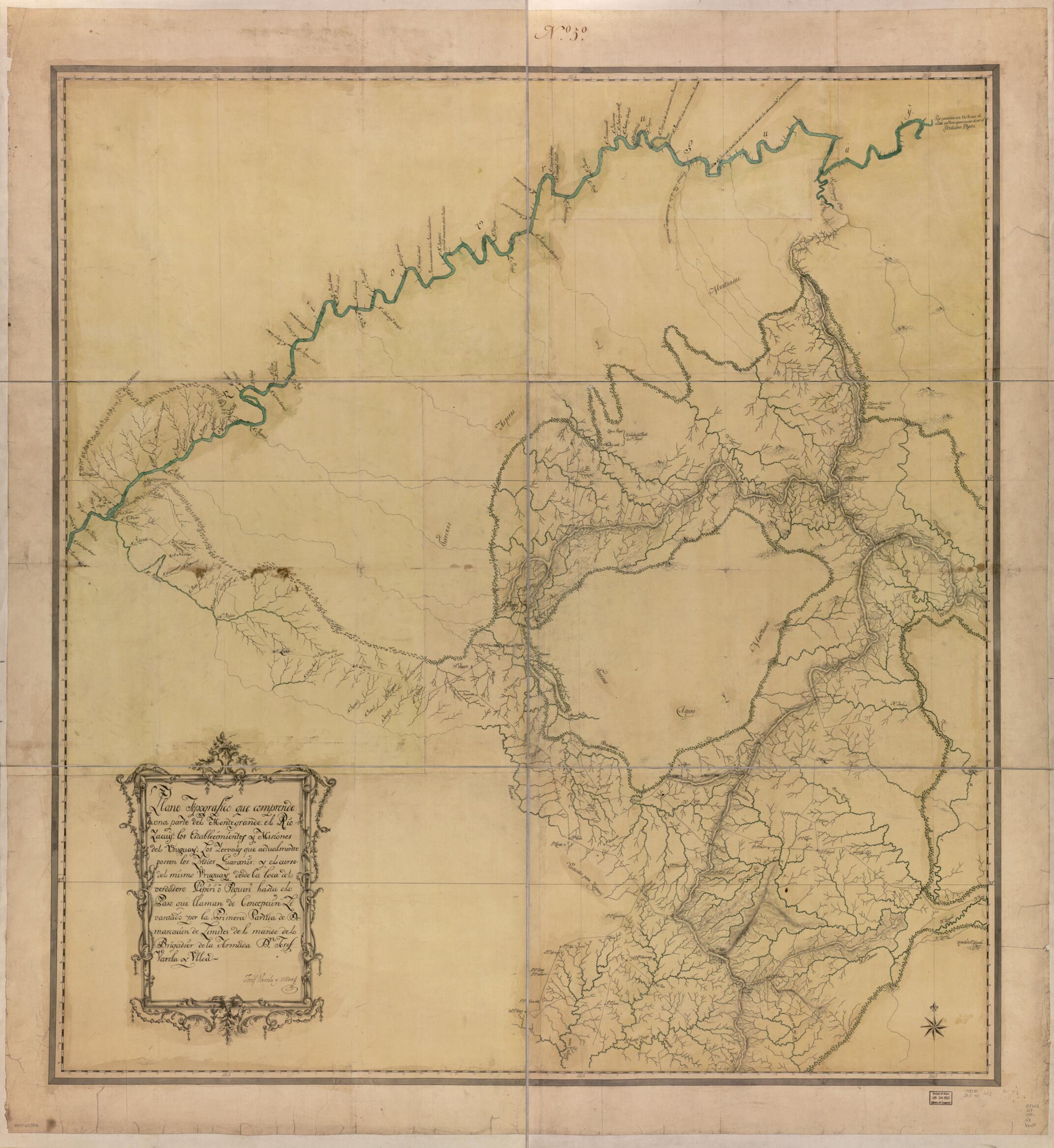
Plano Topografico Que Comprende Una Parte Del Montegrande, El Rio Yacuy, Los Establecimentos Y Misiones Del Uruguay, Los Yervales Que Actualmento Poseen Los Indios Guaranias Y El Curso Del Mismo Uruguay Desde La Boca Del Verdadero Pepiri O Peguiri Has...
- Regular price
-
$214.95 - Regular price
-
$209.95 - Sale price
-
$214.95
Shipping calculated at checkout.
Buy one map, get any other map in our collection for 50% OFF! Add to cart to see discount.
Couldn't load pickup availability
About This Map
Old map of Uruguay River.
Created by José Varela Y Ulloa in 1780.
Created by José Varela Y Ulloa in 1780.
- Shows Uruguay River.
- Relief shown by shading.
- Pen-and-ink and watercolor.
- In upper margin: No. 5o.
Map Sizing Information
- For the best legibility, order your map in the original size or larger. Most maps have intricate detail and small text that is best appreciated when the print size hasn't been reduced.
- Sizes labeled "Fits a Standard Frame" will drop right into any frame that you purchase in that size. The sizes that we offer are commonly available online and at most retail stores.
- Our standard sizes are recommendations based on the aspect ratio of the original map, but still may require some added "white space" in one dimension to fit.
- Non-standard sizes will require custom framing, and we suggest taking your print to the frame shop of your choice after you receive it for the best results.
- Custom sizes are available, simply contact us for a quote.
Below is an approximation of the scale of a few standard sizes, and how they might appear in your space.

