


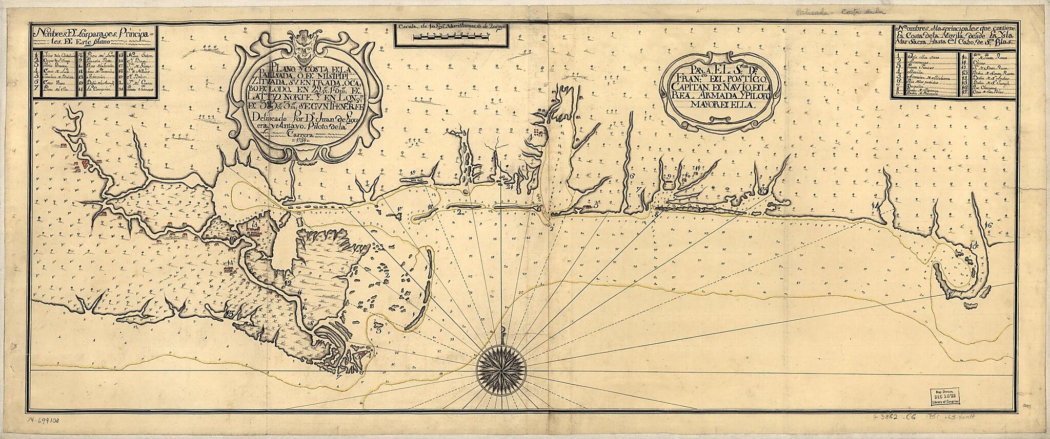
Plano Y Costa De La Palisada O De Misipipi Zituada, Su Entrada O Cabo De Lodo En 29 Gs. 17 Ms. De Lattud. Norte Y En Longd. De 385 Gs. 3 Ms. Segun Tenerife 1751
- Regular price
-
$65.95 - Regular price
-
$60.95 - Sale price
-
$65.95
Shipping calculated at checkout.
Buy one map, get any other map in our collection for 50% OFF! Add to cart to see discount.
Couldn't load pickup availability
About This Map
Old map of Gulf Coast, United States.
Created by Juan De Liguera Y Antayo in 1751.
Created by Juan De Liguera Y Antayo in 1751.
- Scale ca. 1:650,000.
- Watermarks: IV; and, fleur-de-lis.
- Manuscript, pen-and-ink and watercolors.
- Prime meridian: Tenerife.
- Depths shown by soundings.
- Indexed.
- Mounted on cloth backing.
- Printed label describing the map mounted on verso.
Map Subjects
Early Works To 1800
Gulf Coast
Gulf Coast (U.S.)
Maps Manuscript
United States
Juan De Liguera Y Antayo
1751
Map Sizing Information
- For the best legibility, order your map in the original size or larger. Most maps have intricate detail and small text that is best appreciated when the print size hasn't been reduced.
- Sizes labeled "Fits a Standard Frame" will drop right into any frame that you purchase in that size. The sizes that we offer are commonly available online and at most retail stores.
- Our standard sizes are recommendations based on the aspect ratio of the original map, but still may require some added "white space" in one dimension to fit.
- Non-standard sizes will require custom framing, and we suggest taking your print to the frame shop of your choice after you receive it for the best results.
- Custom sizes are available, simply contact us for a quote.
Below is an approximation of the scale of a few standard sizes, and how they might appear in your space.

