
Portolan Atlas of 9 Charts and a World Map, Etc.. (Portolan Atlas Containing 10 Maps) 1544
- Regular price
-
$49.95 - Regular price
-
$34.95 - Sale price
-
$49.95
Shipping calculated at checkout.
Buy one map, get any other map in our collection for 50% OFF! Add to cart to see discount.
Couldn't load pickup availability
About This Map
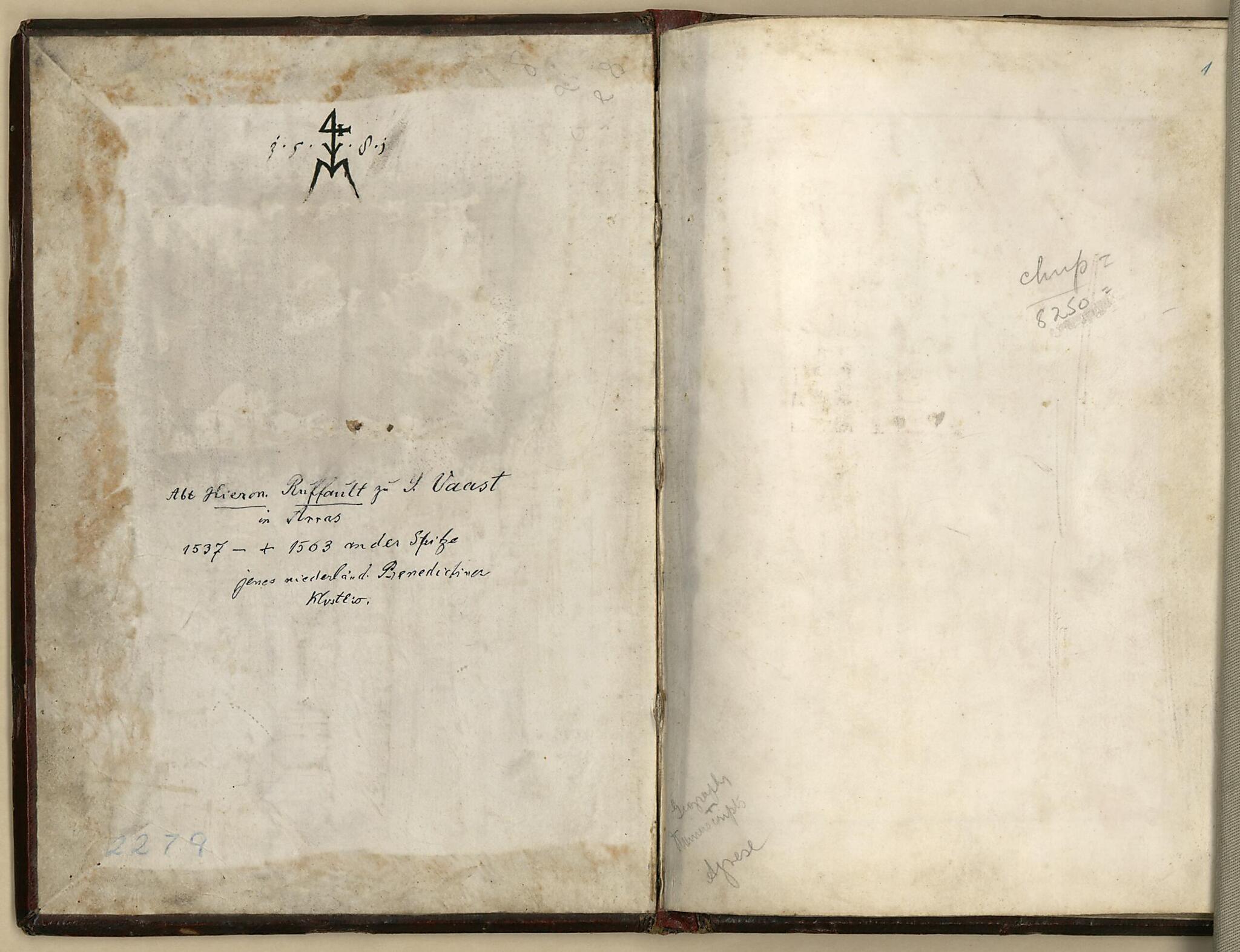
Created by Battista Agnese in 1544.
- Pen-and-ink and watercolor, on vellum.
- Each double-page illumination is 21 x 29 cm. Compass rose on inside back cover.
- Dedicated to Hieronymus Ruffault, Abbot of St. Vaast.
- Title provided by cataloger.
- Rosenthal 1914, 1884
- Ruge 1916, p. 17-18
- Wagner 1931, 33
- Skelton, 19
Map Subjects
Early Maps
Earth
Manuscript Maps
Portolan Charts
World Atlases
Battista Agnese
1544
Map Sizing Information
- For the best legibility, order your map in the original size or larger. Most maps have intricate detail and small text that is best appreciated when the print size hasn't been reduced.
- Sizes labeled "Fits a Standard Frame" will drop right into any frame that you purchase in that size. The sizes that we offer are commonly available online and at most retail stores.
- Our standard sizes are recommendations based on the aspect ratio of the original map, but still may require some added "white space" in one dimension to fit.
- Non-standard sizes will require custom framing, and we suggest taking your print to the frame shop of your choice after you receive it for the best results.
- Custom sizes are available, simply contact us for a quote.
Below is an approximation of the scale of a few standard sizes, and how they might appear in your space.

