
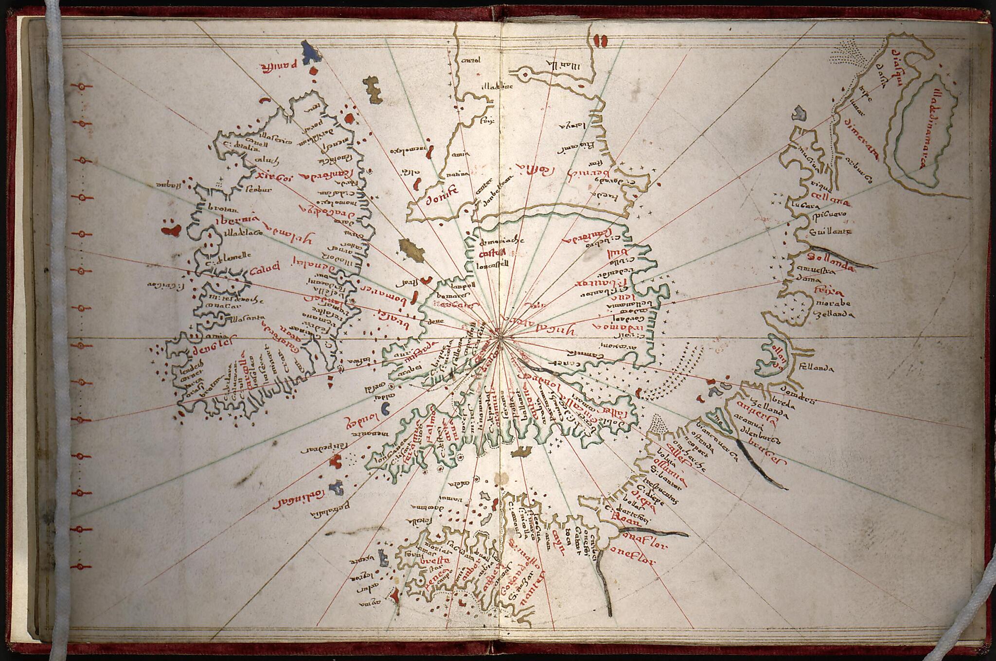
Portolan Atlas of the Mediterranean Sea, Northwest Europe, and Northwest Africa 1590
- Regular price
-
$49.95 - Regular price
-
$34.95 - Sale price
-
$49.95
Shipping calculated at checkout.
Buy one map, get any other map in our collection for 50% OFF! Add to cart to see discount.
Couldn't load pickup availability
About This Map
Old manuscript map / portolan chart / early map / atlase of Africa, North, Black Sea, Europe, Western, Mediterranean Sea, North Africa, Western Europe.
Created by Giacomo Scotto in 1590.
Created by Giacomo Scotto in 1590.
- Title supplied by cataloger.
- Pen-and-ink on vellum.
- Statement of responsibility from leaf 8, the map of the Black Sea.
- Bound in red velvet.
- Purchase; Ludwig Rosenthal, Munich; 1914.
Map Subjects
Africa North
Atlases
Black Sea
Coasts
Early Maps
Early Works To 1800
Europe Western
Manuscript Maps
Mediterranean Sea
Portolan Charts
North Africa
Western Europe
Giacomo Scotto
1590
Map Sizing Information
- For the best legibility, order your map in the original size or larger. Most maps have intricate detail and small text that is best appreciated when the print size hasn't been reduced.
- Sizes labeled "Fits a Standard Frame" will drop right into any frame that you purchase in that size. The sizes that we offer are commonly available online and at most retail stores.
- Our standard sizes are recommendations based on the aspect ratio of the original map, but still may require some added "white space" in one dimension to fit.
- Non-standard sizes will require custom framing, and we suggest taking your print to the frame shop of your choice after you receive it for the best results.
- Custom sizes are available, simply contact us for a quote.
Below is an approximation of the scale of a few standard sizes, and how they might appear in your space.
