


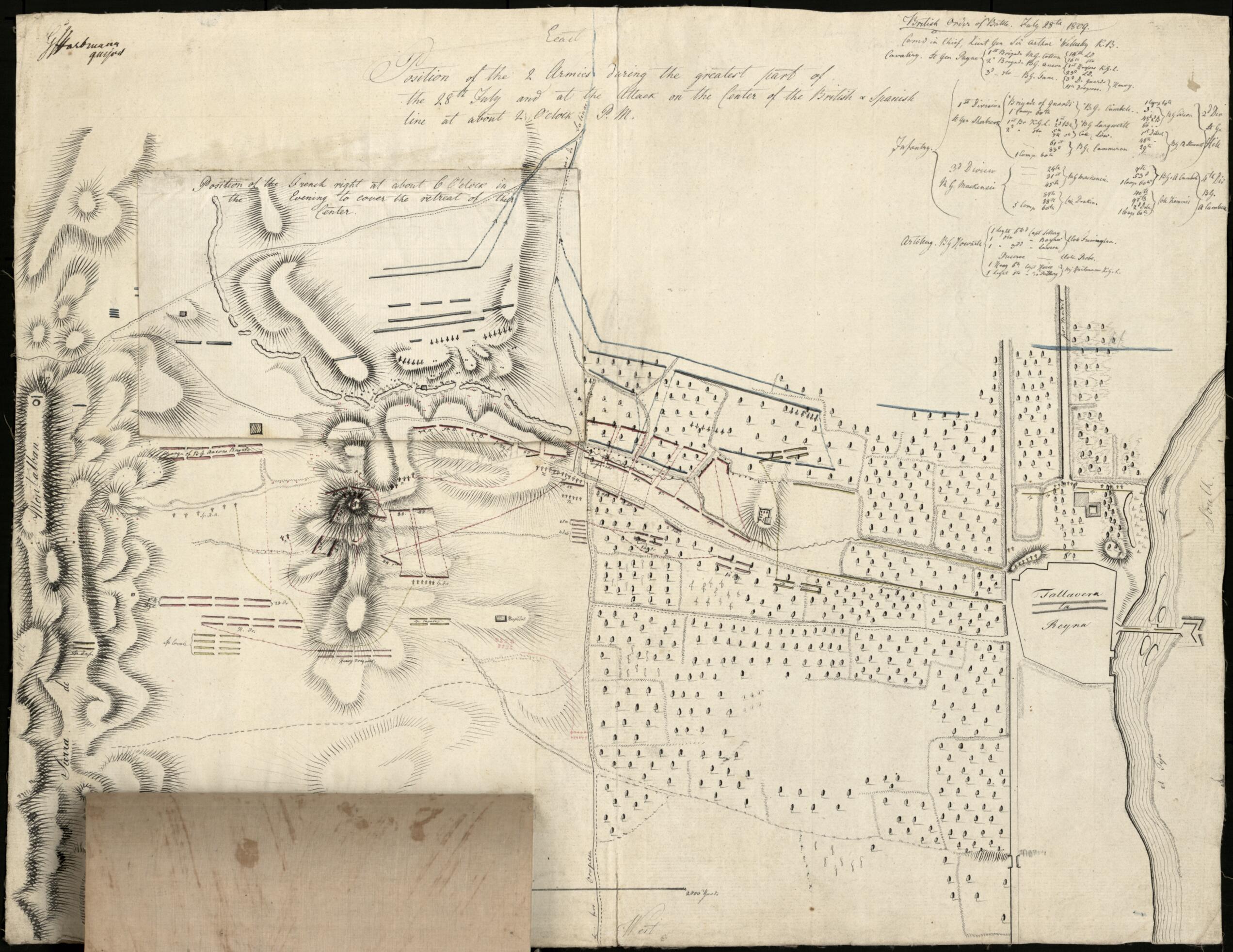
Position of the 2 Armies During the Greatest Part of the 28th July and at the Attack On the Center of the British & Spanish Line at About 2 O'clock P.m. (Position of the Two Armies During the Greatest Part of the 28th July and at the Attack On the Cen...
- Regular price
-
$64.95 - Regular price
-
$59.95 - Sale price
-
$64.95
Shipping calculated at checkout.
Buy one map, get any other map for 50% OFF! Add to cart for discount.
Couldn't load pickup availability
About This Map
Old manuscript map of Spain, Talavera, Talavera De La Reina.
Created by Georg Julius Von Hartmann in 1809.
Created by Georg Julius Von Hartmann in 1809.
- Relief shown pictorially and by hachures.
- Shows movements of English and Spanish troops under the Duke of Wellington and French troops under Joseph Bonaparte shown by two overlaying fold-over extensions pasted onto map.
- Pen-and-ink, pencil, and watercolor.
- Oriented with north to the left.
- Top fold-over extension. Position of the French right at about 6 o'clock in the evening to cover the retreat of their center -- Bottom fold-over extension. Position of the British left and the attack of the French on it in the morning of the 28th at day break.
- Minimal level cataloging record.
Map Sizing Information
- For the best legibility, order your map in the original size or larger. Most maps have intricate detail and small text that is best appreciated when the print size hasn't been reduced.
- Sizes labeled "Fits a Standard Frame" will drop right into any frame that you purchase in that size. The sizes that we offer are commonly available online and at most retail stores.
- Our standard sizes are recommendations based on the aspect ratio of the original map, but still may require some added "white space" in one dimension to fit.
- Non-standard sizes will require custom framing, and we suggest taking your print to the frame shop of your choice after you receive it for the best results.
- Custom sizes are available, simply contact us for a quote.
Below is an approximation of the scale of a few standard sizes, and how they might appear in your space.

