Skip to product information
1 of 1

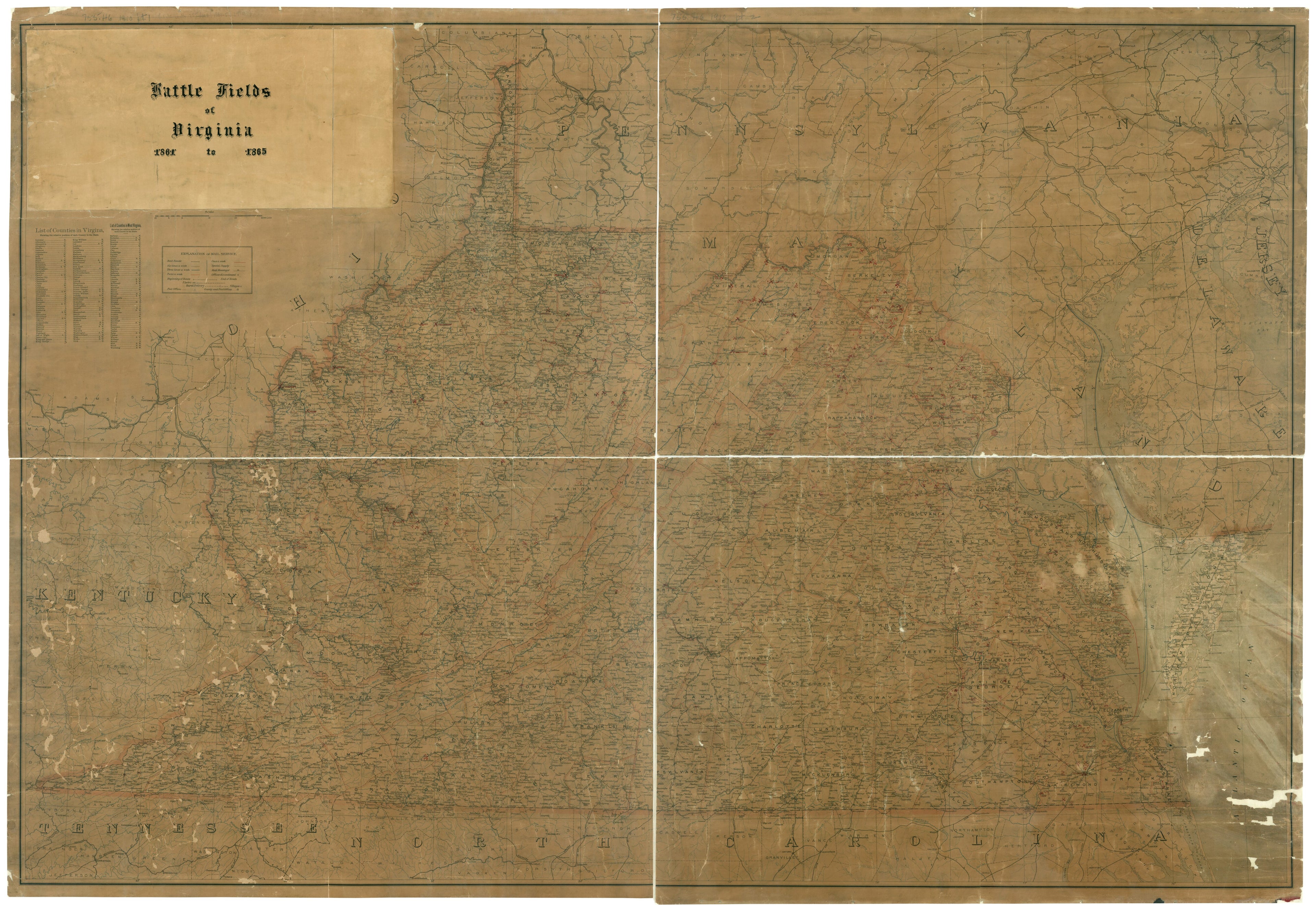
Battle Fields of Virginia 1861 to 1865. (Post Route Map of the States of Virginia and West Virginia) 1900

Regular price
$248.95
Regular price
$276.95
Sale price
$248.95
Help with Choosing a Map Size

90-Day Satisfaction Guarantee & Free Returns

About This Map

Discover the timeless beauty of our fine art quality printed reproduction of this antique map. Perfect for history enthusiasts, collectors, and interior decorators.

Restored with meticulous attention to detail by our team with over a decade of experience, this stunning reproduction captures the intricate artistry and historical significance of the original map.

Whether you're a collector or seeking a unique decor piece, this archival-quality map reproduction is a timeless addition to any space. Order now to bring history to life!

Old map of United States, Virginia, West Virginia.

Created by Raleigh T. (Raleigh Travers) Daniel, United States. Post Office Dept in 1900.
  • Annotated by Capt. Raleigh Travers Daniel, Office of the Secretary of Virginia Military Records of the Commonwealth of Virginia between 1909 and 1910. Prepared to accompany a manuscript guidebook to Virginia Civil War battlefields. Maps originally in Series III. Miscellaneous Records. Guide to Battlefields of Virginia and West Virginia, accession 2768.
  • Includes indexes of counties and explanation of mail service, railroads, mail routes, mail messenger, post offices, and offices discontinued.
  • Sites of battles and skirmishes are indicated by crossed swords. When the field of action is not printed on the map numbers are given that correspond to numbers in the manuscript guidebook.
  • This item is in the Map Collection of the Library of Virginia; please contact the Library's Archives Research Services department for more information.
  • Title from label on map. Original title, statement of responsibility and imprint covered by label.
  • Swem, E.G. Maps relating to Virginia, 1943
  • April 1918, Va. Div. of Military Affairs, gift; Oct. 2003, Map Cataloging Team.

Map Tags

1900

Civil War

History

Map

Maps

Postal Service

Raleigh T. (Raleigh Travers) Daniel

United States

United States. Post Office Dept

Virginia

West Virginia

Secure Checkout
Lifetime Warranty
Money-Back Guarantee
This old map of Battle Fields of Virginia 1861 to 1865. (Post Route Map of the States of Virginia and West Virginia) from 1900 was created by Raleigh T. (Raleigh Travers) Daniel,  United States. Post Office Dept in 1900