
Quan Tai Yu Tu (全臺輿圖) 1879
- Regular price
-
$49.95 - Regular price
-
$34.95 - Sale price
-
$49.95
Shipping calculated at checkout.
Buy one map, get any other map in our collection for 50% OFF! Add to cart to see discount.
Couldn't load pickup availability
About This Map
Old map of China, Taiwan.
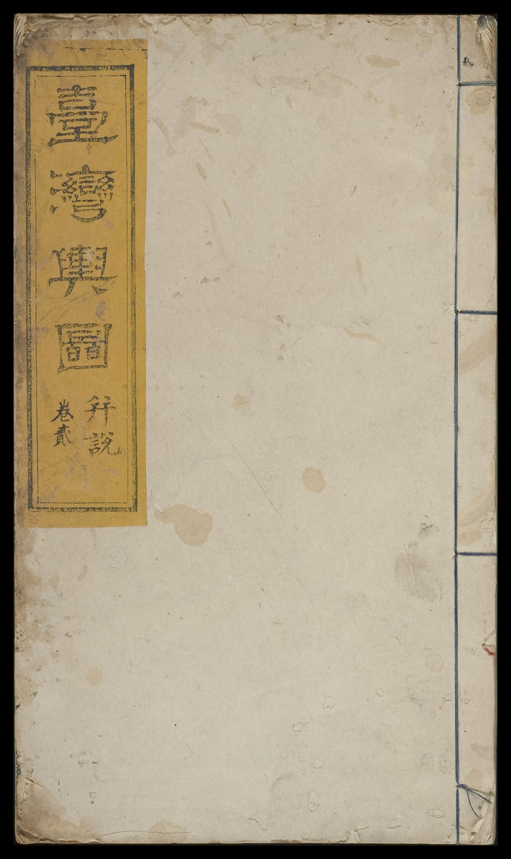
shaped single "fish tail" in the lower portion. The script on the verso reads: "Engraving began in the autumn of the fifth year (1879) of Guangxu reign." The copy has 54 leaves, including the text and the maps. The extent of the atlas is not large, but the contents are rich. They detail the coastlines, rivers and streams, roads, government offices, military installations, streets, villages, tribal sites, and ordinary geographical names of Taiwan, and thus are a good source for the study of Taiwan's history and geography. At the front is the 1879 postscript of Zhou Maoqi (1836-96) of Jixi, the designated prefect of Taiwan Prefecture, Fujian Province, followed by the preface by Xia Xianlun (died 1879), Military Commander of the Military Defense Circuit and the Provincial Surveillance Commission. In his preface, Xia provides some details relating to the compilation of this atlas. Xia was appointed the administrator of Taiwan Dao in 1873. A script in smaller characters states that the printing was supervised by Yu Chong, an official rank nine, lower class, and a member of the mapping team. The atlas contains a total of 12 maps. The first map, entitled "Map of Qianshan and Houshan," is the only one that does not have a textual explanation. The other maps depict the counties of Taiwan, Fengshan, Jiayi, Zhanghua, Xinzhu, Danshui, Yilan, Hengchun, Penghu Ting, Puli She, and Houshan. Each map has a heading. The drawing is exquisite. Even though they are executed in the traditional Chinese painting style, they provide compass directions and latitude and longitude lines. Each square represents ten square li (one li = 500 meters). At the end of each map are brief notes and route distances. The explanations for the maps of Puli She and Houshan are particularly detailed. At the time, Taiwan was not yet a province, only a prefecture under Fujian. Its administrative divisions were very different from those of the present day. Yet the atlas is simple and clear and easy to understand. It is one of the most representative and most valuable atlases of Taiwan made during the Qing dynasty, especially the Houshan map, which is one of the most important maps of eastern Taiwan. The complete work is shown here.
Created by Xianlun Xia, Maoqi Zhou in 1879.
- Title devised, in English, by Library staff.
- Original resource extent: 54 leaves, 2 volumes.
- Original resource at: National Central Library.
- Content in Chinese.
- Description based on data extracted from World Digital Library, which may be extracted from partner institutions.
- Title revised per Asian Division.--cc28 2023-01-06
Map Sizing Information
- For the best legibility, order your map in the original size or larger. Most maps have intricate detail and small text that is best appreciated when the print size hasn't been reduced.
- Sizes labeled "Fits a Standard Frame" will drop right into any frame that you purchase in that size. The sizes that we offer are commonly available online and at most retail stores.
- Our standard sizes are recommendations based on the aspect ratio of the original map, but still may require some added "white space" in one dimension to fit.
- Non-standard sizes will require custom framing, and we suggest taking your print to the frame shop of your choice after you receive it for the best results.
- Custom sizes are available, simply contact us for a quote.
Below is an approximation of the scale of a few standard sizes, and how they might appear in your space.

