
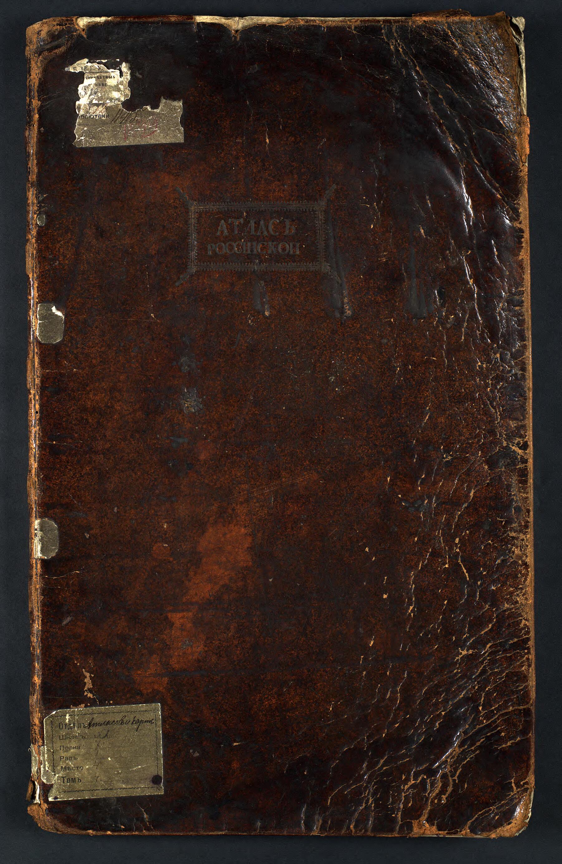
Atlas Rossiĭskoĭ, Sostoi︠a︡shchiĭ Iz Devi︠a︡tnadt︠s︡ati Spet︠s︡ial'nykh Kart, Predstavli︠a︡i︠u︡shchikh Vserossiĭskui︠u︡ Imperii︠u︡ S Pogranichnymi Zemli︠a︡mi, Sochinennyĭ Po Pravilam Geograficheskim I Noveĭshi...
- Regular price
-
$49.95 - Regular price
-
$34.95 - Sale price
-
$49.95
Buy one map, get any other map in our collection for 50% OFF! Add to cart to see discount.
Couldn't load pickup availability
About This Map
Discover the timeless beauty of our fine art quality printed reproduction of this antique map. Perfect for history enthusiasts, collectors, and interior decorators.
Restored with meticulous attention to detail by our team with over a decade of experience, this stunning reproduction captures the intricate artistry and historical significance of the original map.
Whether you're a collector or seeking a unique decor piece, this archival-quality map reproduction is a timeless addition to any space. Order now to bring history to life!
Old map of Russian Federation.This item consists of 19 manuscript maps from the eighteenth century. Each map is printed on several pages and depicts parts of the Siberian territory of the Russian Empire. World Digital Library.
Created by Imperatorskai︠a︡ Akademīi︠a︡ Nauk (Russia) in 1745.
- V ėkzempli︠a︡re, khrani︠a︡shchemsi︠a︡ v NB IGU, otsutstvuet "General'nai︠a︡ karta".
- Original map at: Irkutsk State University
- В экземпляре, хранящемся в НБ ИГУ, отсутствует "Генеральная карта".
- For the best legibility, order your map in the original size or larger. Most maps have intricate detail and small text that is best appreciated when the print size hasn't been reduced.
- Sizes labeled "Fits a Standard Frame" will drop right into any frame that you purchase in that size. The sizes that we offer are commonly available online and at most retail stores.
- Our standard sizes are recommendations based on the aspect ratio of the original map, but still may require some added "white space" in one dimension to fit.
- Non-standard sizes will require custom framing, and we suggest taking your print to the frame shop of your choice after you receive it for the best results.
- Custom sizes are available, simply contact us for a quote.
Below is an approximation of the scale of a few standard sizes, and how they might appear in your space.

