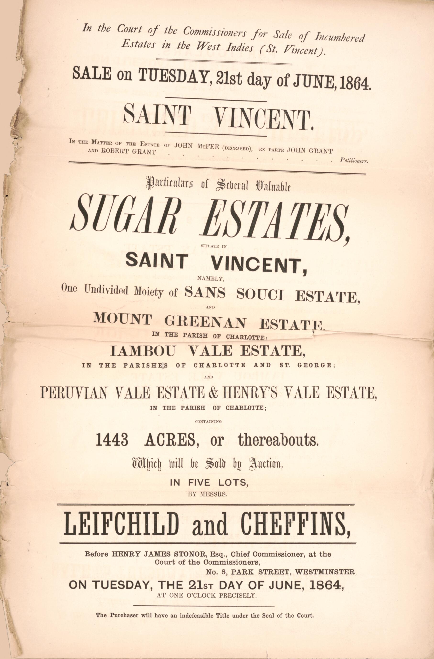
Saint Vincent, Particulars of Several Valuable Sugar Estates : Situate In Saint Vincent, Namely, One Undivided Moiety of San Souci Estate and Mount Greenan Estate In the Parish of Charlotte, Lambou Vale Estate In the Parishes of Charlotte and St. Geor...
- Regular price
-
$19.95 - Regular price
-
$30.95 - Sale price
-
$19.95
Map Description
Old cadastral map of Saint Vincent, Saint Vincent and the Grenadines.
Created by Leifchild & Cheffins (Firm), Henry James Stonor in 1864.
- Relief shown by hachures.
- Oriented with north to the right.
- Title from accompanying text.
- "Sale on Tuesday, 21st day of June, 1864."
- "In the matter of the Estate of John McFee (deceased). Ex parte John Grant, petitioners."
- Accompanied by text: In the Court of the Commissioners for Sale of Incumbered Estates in the West Indies, Saint Vincent. ([4] unnumbered pages : cadastral data ; 44 cm, folded to 28 x 12 cm).
- "No. 8, Park Street, Westminister, on Tuesday, the 21st day of June, 1864, at one o'clock precisely. The purchaser will have an indefeasible Parliamentary Title under the Seal of the Court."
- Copy This map has some imperfections: discoloration, use-worn, seperated along fold lines. We'll do our best to restore the image before printing.
Map Tags
1864
Cadastral Maps
Cust Reginald John
Estates
Henry James Stonor
Landowners
Leifchild & Cheffins (Firm)
Map
Maps
Owner
Real Property
Saint Vincent
Saint Vincent And The Grenadines
Sir
Sugarcane
Fine Art Quality
Printed on heavyweight (230 gsm) archival paper with a classic matte finish
Professionally Restored
For the best presentation, your map will be carefully retouched by our experienced team
Free Shipping
Orders of $75 or more ship for free and arrive in 3-5 business days
Proudly Made in the USA
All of our maps are custom printed to order in Portland, Maine
Secure Checkout
Lifetime Warranty
Money-Back Guarantee
Map Sizing Information
- For the best legibility, order your map in the original size or larger. Most maps have intricate detail and small text that is best appreciated when the print size hasn't been reduced.
- Sizes labeled "Fits a Standard Frame" will drop right into any frame that you purchase in that size. The sizes that we offer are commonly available online and at most retail stores.
- Our standard sizes are recommendations based on the aspect ratio of the original map, but still may require some added "white space" in one dimension to fit.
- Non-standard sizes will require custom framing, and we suggest taking your print to the frame shop of your choice after you receive it for the best results.
- Custom sizes are available, simply contact us for a quote.
Below is an approximation of the scale of a few standard sizes, and how they might appear in your space.