
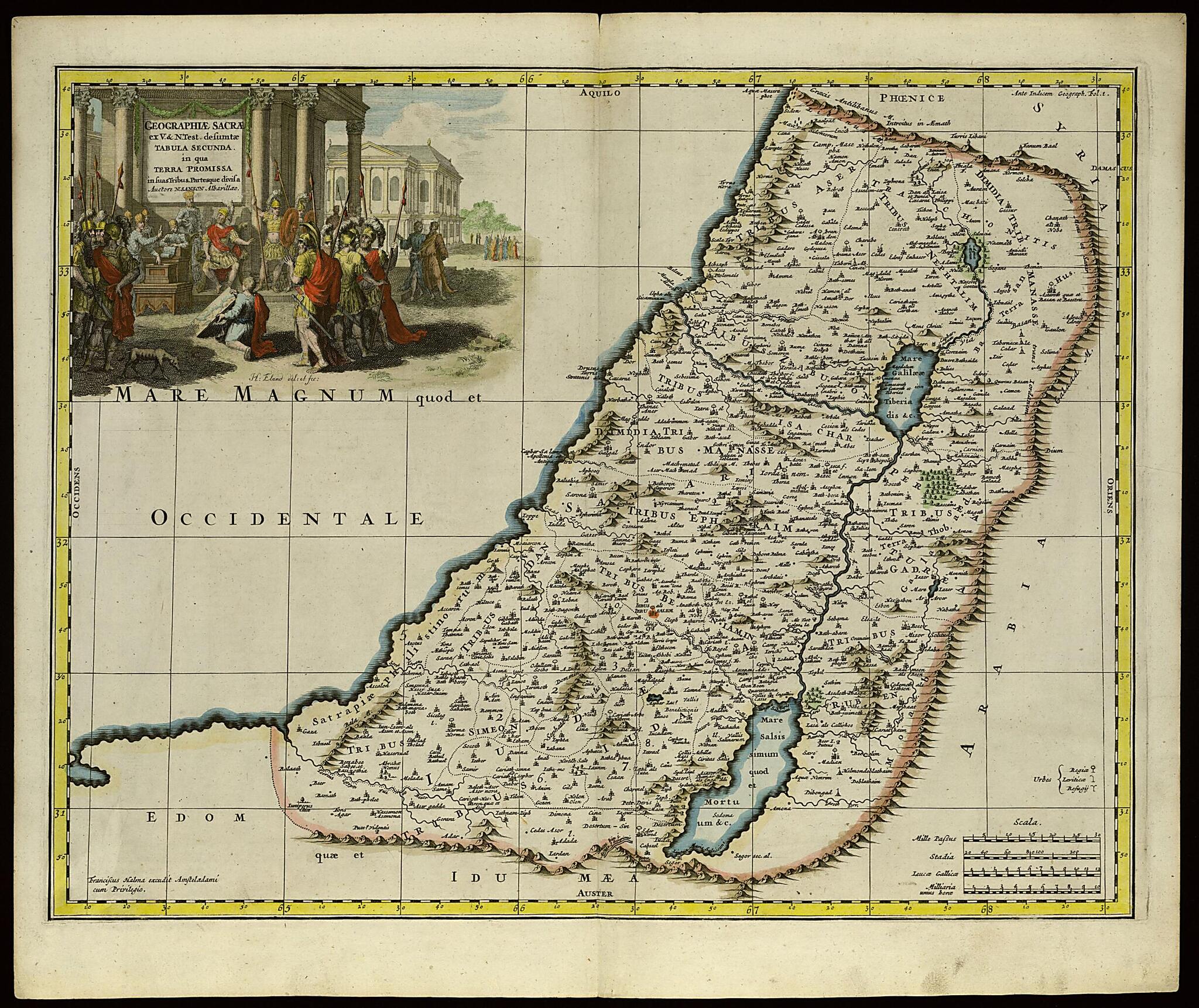
Second Map of Sacred Geography Gathered from the Old and New Testaments: This Map Shows the Promised Land Divided Into Its Tribes and Regions. (Geographiae Sacrae Ex V. & N. Test. Desumptae, Tabula Secunda In Qua Terra Promissa In Suas Tribus Partesqu...
- Regular price
-
$76.95 - Regular price
-
$71.95 - Sale price
-
$76.95
Buy one map, get any other map in our collection for 50% OFF! Add to cart to see discount.
Couldn't load pickup availability
About This Map
Discover the timeless beauty of our fine art quality printed reproduction of this antique map. Perfect for history enthusiasts, collectors, and interior decorators.
Restored with meticulous attention to detail by our team with over a decade of experience, this stunning reproduction captures the intricate artistry and historical significance of the original map.
Whether you're a collector or seeking a unique decor piece, this archival-quality map reproduction is a timeless addition to any space. Order now to bring history to life!
Old map of Israel.colored map of the Holy Land is a reprint of a map that appeared in the 1662 edition of Nicolas Sanson's Geographia sacra (Sacred geography), first published in 1653. Sanson (1600-67) is considered by many to be the founder of the French school of cartography. The map was published in Amsterdam in 1704 by François Halma (1653-1722), a Dutch bookseller and publisher who started a business in Utrecht, later moved to Amsterdam, and finally settled in Leeuwarden.
Created by Hendrik Eland, François Halma, Nicolas Sanson in 1704.
- Title devised, in English, by Library staff.
- Original resource extent: Copperplate; 390 x 497 millimeters.
- Original resource at: National Library of Israel.
- Content in Latin.
- Description based on data extracted from World Digital Library, which may be extracted from partner institutions.
Map Subjects
Israel
Hendrik Eland
François Halma
Nicolas Sanson
1704
- For the best legibility, order your map in the original size or larger. Most maps have intricate detail and small text that is best appreciated when the print size hasn't been reduced.
- Sizes labeled "Fits a Standard Frame" will drop right into any frame that you purchase in that size. The sizes that we offer are commonly available online and at most retail stores.
- Our standard sizes are recommendations based on the aspect ratio of the original map, but still may require some added "white space" in one dimension to fit.
- Non-standard sizes will require custom framing, and we suggest taking your print to the frame shop of your choice after you receive it for the best results.
- Custom sizes are available, simply contact us for a quote.
Below is an approximation of the scale of a few standard sizes, and how they might appear in your space.

