
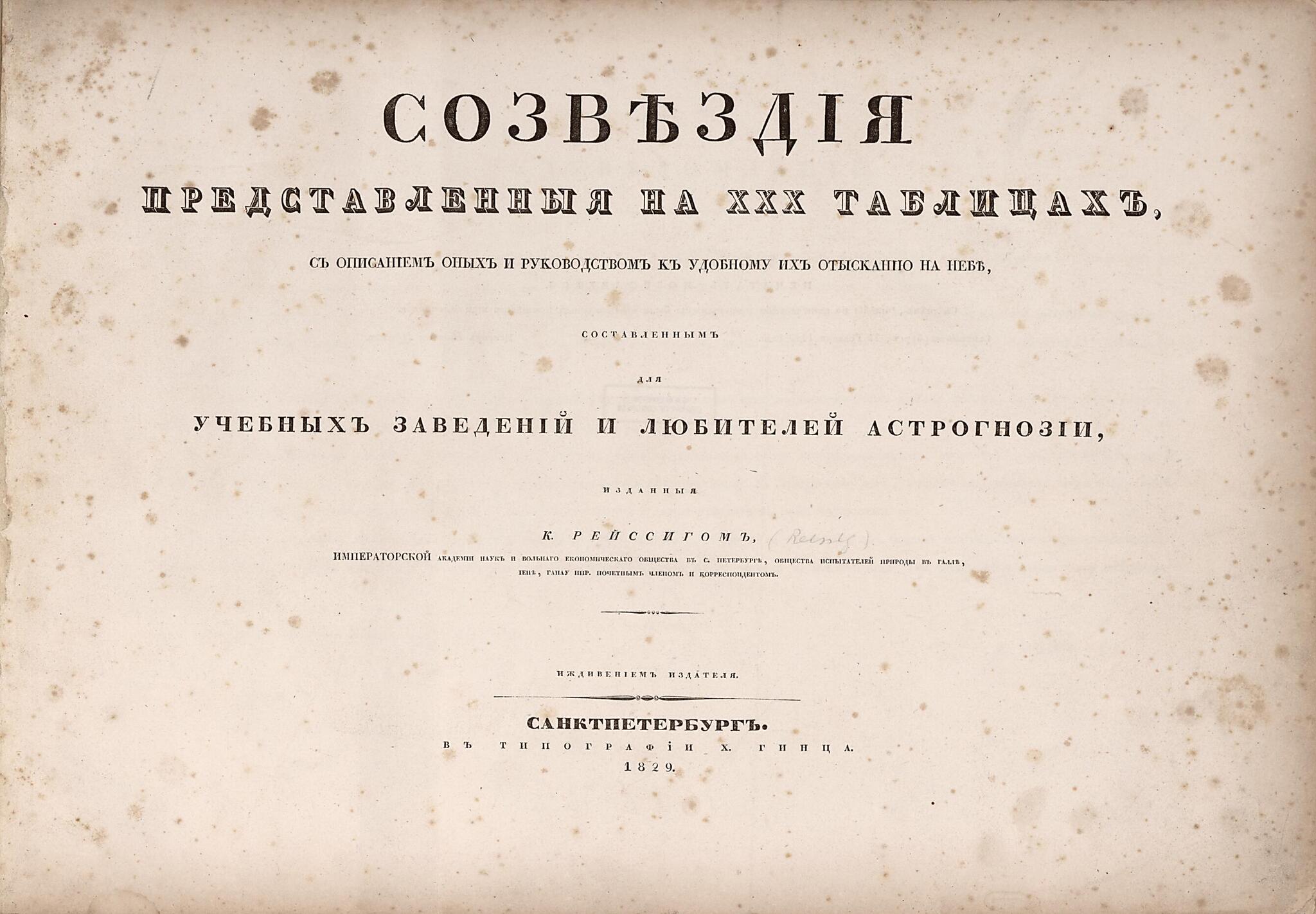
Sozvi︠e︡zdīi︠a︡ Predstavlennyi︠a︡ Na XXX Tabilt︠s︡akh S Opisanīem Onykh I Rukovodstvom K Udobnomu Ikh Otyskanī I︠u︡ Na Nebi︠e︡ Sostavlennym Dli︠a︡ Uchebnykhi︠e︡ Zavedenīĭ I Li︠u︡biteleĭ Astrognozīi 1829
- Regular price
-
$54.95 - Regular price
-
$38.95 - Sale price
-
$54.95
Buy one map, get any other map in our collection for 50% OFF! Add to cart to see discount.
Couldn't load pickup availability
About This Map
Discover the timeless beauty of our fine art quality printed reproduction of this antique map. Perfect for history enthusiasts, collectors, and interior decorators.
Restored with meticulous attention to detail by our team with over a decade of experience, this stunning reproduction captures the intricate artistry and historical significance of the original map.
Whether you're a collector or seeking a unique decor piece, this archival-quality map reproduction is a timeless addition to any space. Order now to bring history to life!
Old celestial chart / atlase of Universe.Created by K. (Kornelius) Reĭssig in 1829.
- Includes an engraved title page for the plates, two engraved section titles, one showing stellar magnitude, and thirty celestial charts. Twenty-eight of the charts show the constellations in detail, both as stars and as images of animals, etc., printed in gold on black, with small holes punched out for the high magnitude stars. Transparent paper is affixed to the verso of these sheets so that light can shine through. The twenty-ninth chart, also printed in gold on black, shows all of the constellations seen in the previous plates, without any punching. The thirtieth plate, printed in black directly on the paper, is a star chart without images.
- Madison Council purchase ; Feb. 2012.
Map Subjects
Astronomy
Atlases
Celestial Charts
Charts Diagrams Etc
Constellations
Stars
Universe
Celestial Charts
K. (Kornelius) Reĭssig
1829
- For the best legibility, order your map in the original size or larger. Most maps have intricate detail and small text that is best appreciated when the print size hasn't been reduced.
- Sizes labeled "Fits a Standard Frame" will drop right into any frame that you purchase in that size. The sizes that we offer are commonly available online and at most retail stores.
- Our standard sizes are recommendations based on the aspect ratio of the original map, but still may require some added "white space" in one dimension to fit.
- Non-standard sizes will require custom framing, and we suggest taking your print to the frame shop of your choice after you receive it for the best results.
- Custom sizes are available, simply contact us for a quote.
Below is an approximation of the scale of a few standard sizes, and how they might appear in your space.
