
The Atlantic Neptune 1800
- Regular price
-
$83.95 - Regular price
-
$78.95 - Sale price
-
$83.95
Buy one map, get any other map in our collection for 50% OFF! Add to cart to see discount.
Couldn't load pickup availability
About This Map
Discover the timeless beauty of our fine art quality printed reproduction of this antique map. Perfect for history enthusiasts, collectors, and interior decorators.
Restored with meticulous attention to detail by our team with over a decade of experience, this stunning reproduction captures the intricate artistry and historical significance of the original map.
Whether you're a collector or seeking a unique decor piece, this archival-quality map reproduction is a timeless addition to any space. Order now to bring history to life!
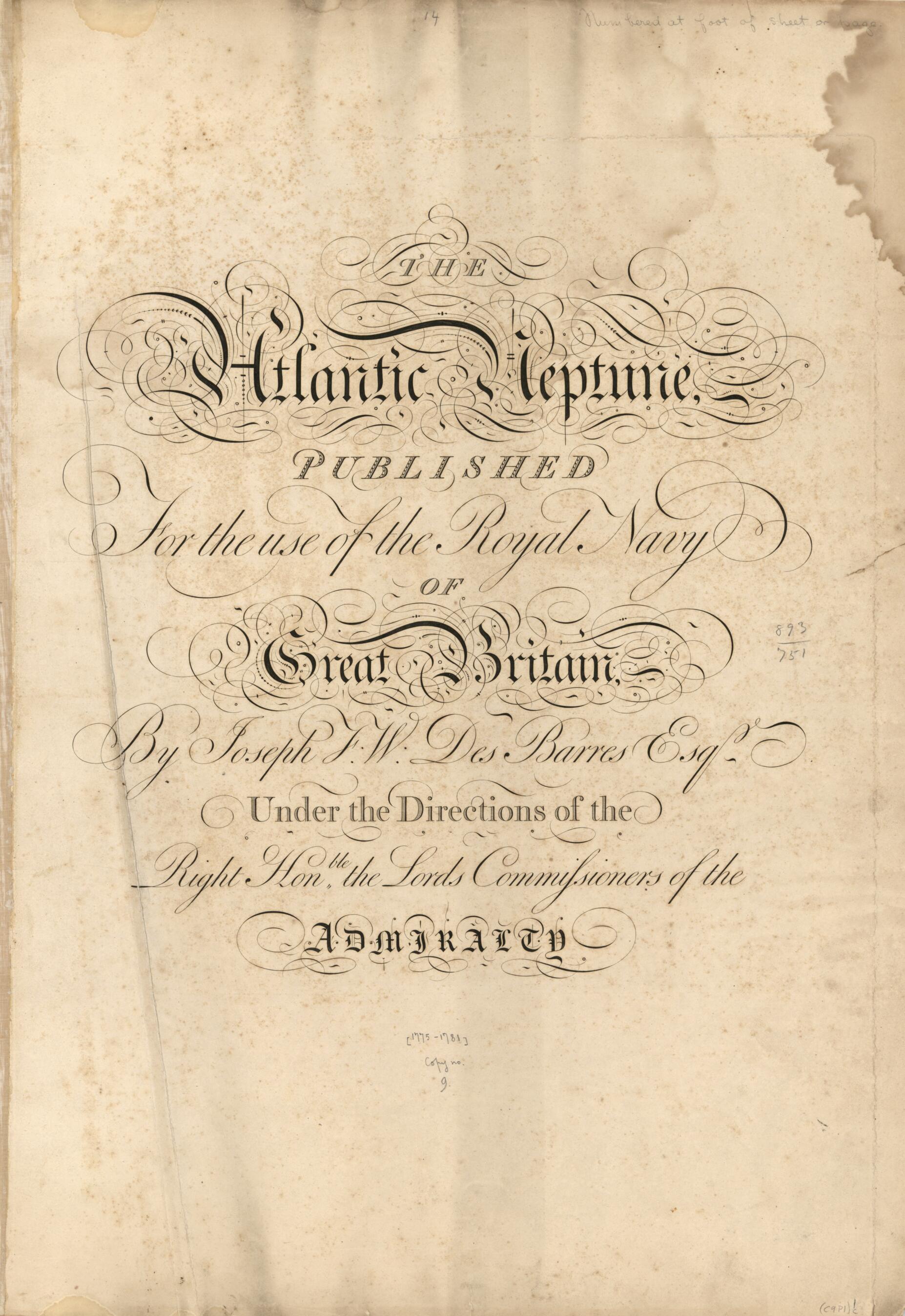
Old map of Atlantic Coast, North America.Created by Joseph F. W. (Joseph Frederick Wallet) Des Barres in 1800.
- Charts dated 1775 to 1781.
- Undated ed. in 3 volumes, called part I, part II, and part III in their respective tables of contents.
- The general t.p., without volume numbering or imprint, and the prelim. leaves are repeated in each volume.
- The contents leaf for pt. 2. calls for a chart of Prince Edward's Island instead of St. John's Island as on the relevant chart in the volume. St. John's Island (Isle of St. John) was renamed Prince Edward Island in 1798, after Edward, Duke of Kent.
- Pt. 1 contains a text printed on a full size sheet headed "To the King's Most Excellent Majesty." It is signed J. F. W. Des Barres and relates to his appointment in 1784 to the governorship of Cape Breton. It is not recorded in the Catalogue of the Henry Newton Stevens collection of the Atlantic Neptune. Pt. 1 contains also the "Preface."
- Includes 14 separate plates of views.
- Cf. H. N. Stevens. Catalogue of the Henry Newton Stevens collection of the Atlantic Neptune.
- For the best legibility, order your map in the original size or larger. Most maps have intricate detail and small text that is best appreciated when the print size hasn't been reduced.
- Sizes labeled "Fits a Standard Frame" will drop right into any frame that you purchase in that size. The sizes that we offer are commonly available online and at most retail stores.
- Our standard sizes are recommendations based on the aspect ratio of the original map, but still may require some added "white space" in one dimension to fit.
- Non-standard sizes will require custom framing, and we suggest taking your print to the frame shop of your choice after you receive it for the best results.
- Custom sizes are available, simply contact us for a quote.
Below is an approximation of the scale of a few standard sizes, and how they might appear in your space.

