Skip to product information
1 of 1

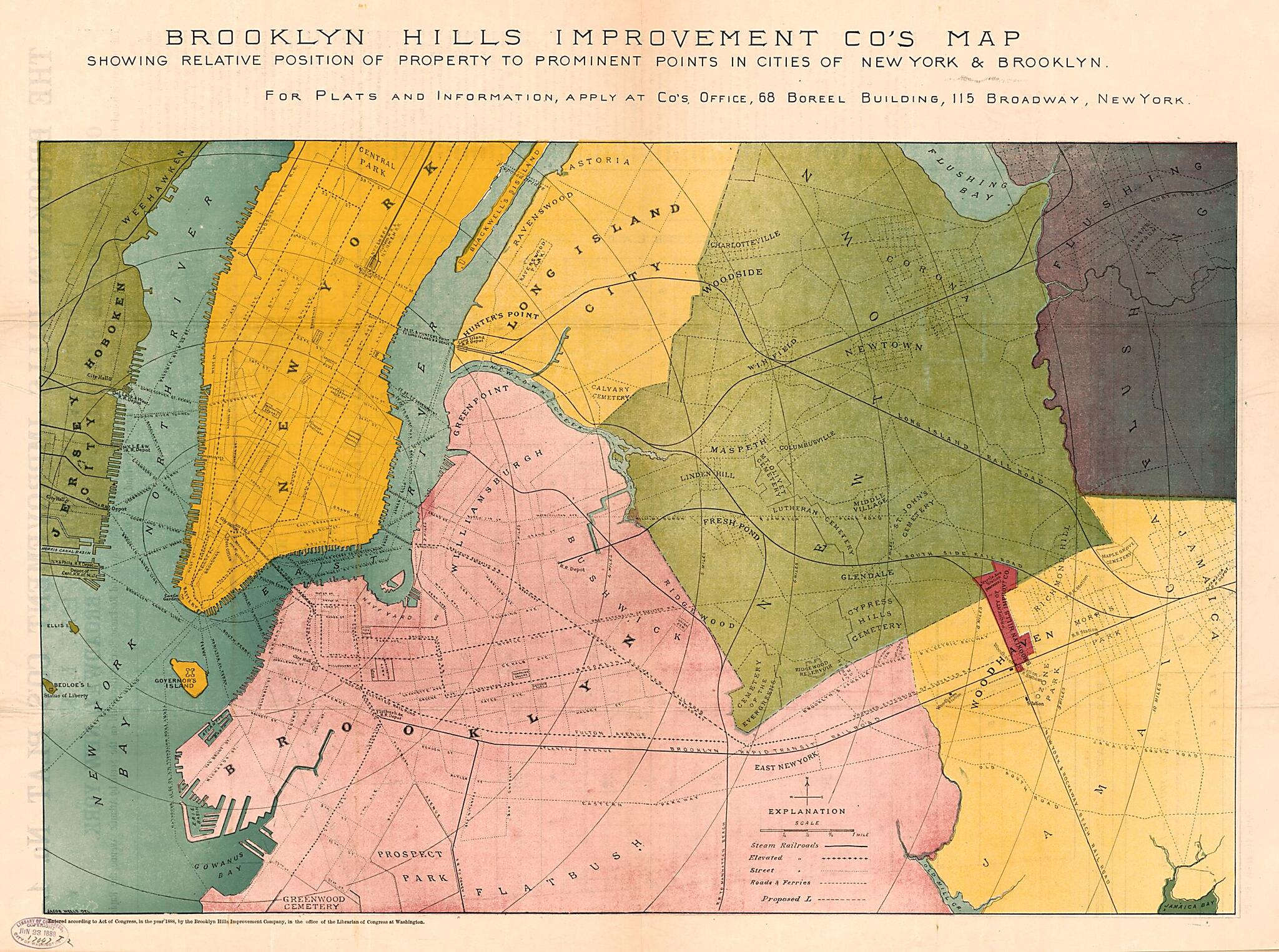
The Brooklyn Hills Improvement County's Plat No. 1 : Property at Woodhaven, L.I. ; Brooklyn Hills Improvement County's Map Showing Relative Position of Property to Prominent Points In Cities of New York & Brooklyn 1888

Regular price
$66.95
Regular price
$97.95
Sale price
$66.95
Help with Choosing a Map Size
Ready to Frame and Gift Matte finish, Heavy archival paper, Fade-resistant inks
Professionally Restored For the best presentation, your map will be carefully retouched by our experienced team
Free Shipping & Free Returns Orders of $75 or more ship for free and arrive in 3-5 business days
Map Description
Old map of New York, New York (State), New York City, United States, Woodhaven.

Created by Brooklyn Hills Improvement Company, Jacob Wells in 1888.
  • Woodside map is black-and-white cadastral map with lot lines/dimensions, lot/block numbers, and street widths.
  • "Relative position" map is col. map of adjacent parts of Manhattan/Brooklyn/Queens with radial distances from N.Y. City Hall; also shows municipalities and transit routes.
  • "Entered according to Act of Congress, in the year 1888, by the Brooklyn Hills Improvement Company, in the office of the Librarian of Congress at Washington."
  • This map has some imperfections: fold-lined, torn at fold lines. We'll do our best to restore the image before printing.
  • Includes text.

Map Subjects

Administrative And Political Divisions

Local Transit

New York

New York (N.Y.)

New York (State)

Real Property

United States

Woodhaven

Woodhaven (New York N.Y.)

New York City

Brooklyn Hills Improvement Company

Jacob Wells

1888

Map Tags

1888

Administrative And Political Divisions

Brooklyn Hills Improvement Company

Jacob Wells

Local Transit

Map

Maps

New York

New York (N.Y.)

New York (State)

New York City

Real Property

United States

Woodhaven

Woodhaven (New York N.Y.)

Secure Checkout
Lifetime Warranty
Money-Back Guarantee
This old map of The Brooklyn Hills Improvement County&