
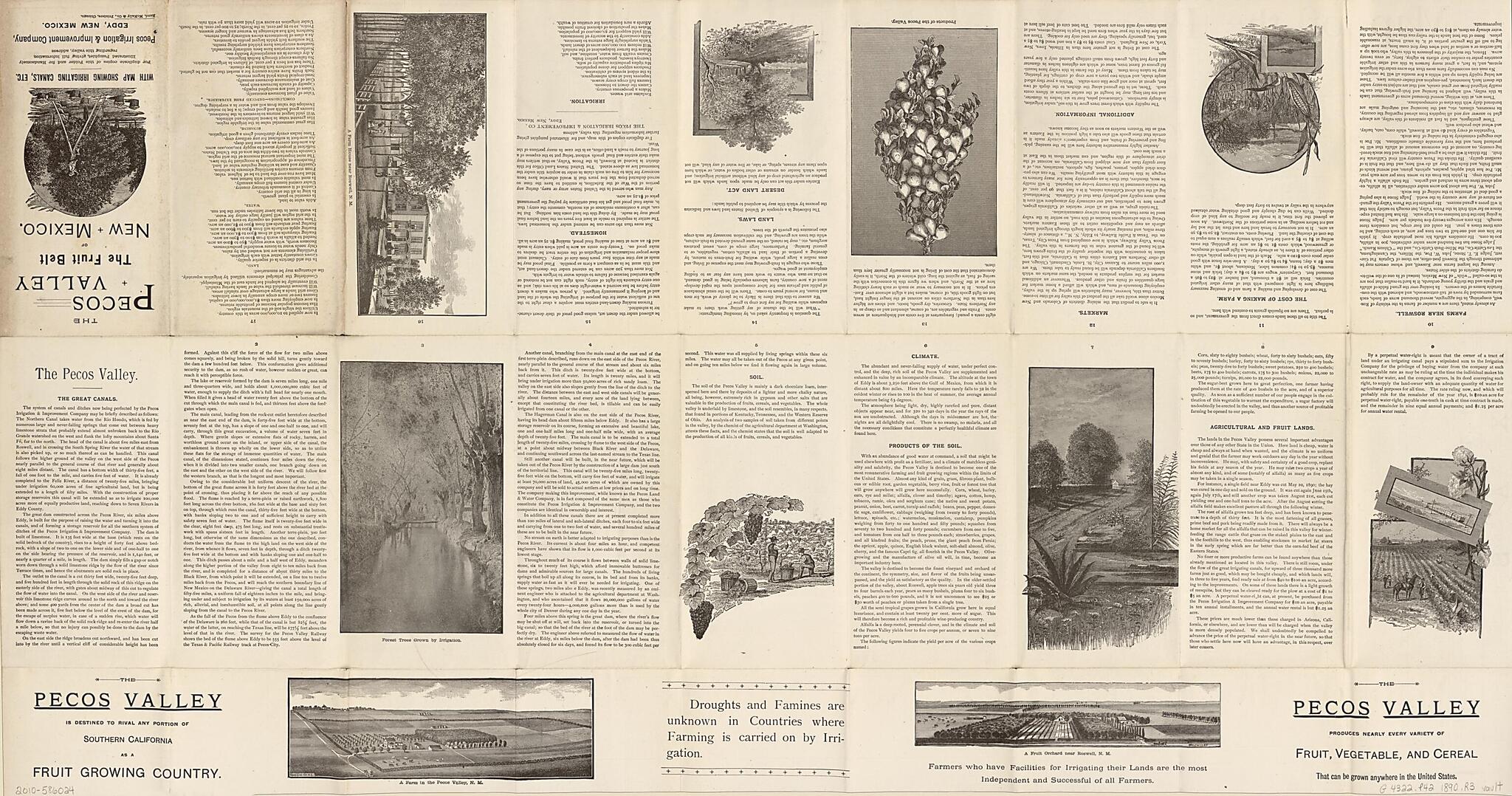
The Pecos Valley : the Fruit Belt of New Mexico, With Map Showing Irrigating Canals, Etc. (Map of the Pecos Valley, New Mexico) 1890
- Regular price
-
$134.95 - Regular price
-
$129.95 - Sale price
-
$134.95
Buy one map, get any other map in our collection for 50% OFF! Add to cart to see discount.
Couldn't load pickup availability
About This Map
Discover the timeless beauty of our fine art quality printed reproduction of this antique map. Perfect for history enthusiasts, collectors, and interior decorators.
Restored with meticulous attention to detail by our team with over a decade of experience, this stunning reproduction captures the intricate artistry and historical significance of the original map.
Whether you're a collector or seeking a unique decor piece, this archival-quality map reproduction is a timeless addition to any space. Order now to bring history to life!
Old map of New Mexico, Pecos River Valley, Texas, United States.Created by Rand McNally and Company in 1890.
- Relief shown by hachures.
- Title from panel.
- Shows parts of the Guadalupe Mountains and Mescalero Valley.
- "For duplicate copies of this Folder and for Handsomely Illustrated Pamphlet, giving full information regarding this valley, address Pecos Irrigation & Improvement Company, Eddy, New Mexico."
- Copy This map has some imperfections: stained and torn along fold lines. We'll do our best to restore the image before printing.
- Text and ill. on verso.
Map Subjects
Canals
Irrigation
New Mexico
Pecos River Valley
Pecos River Valley (N.M. And Tex.)
Plants
Texas
United States
Rand McNally And Company
1890
- For the best legibility, order your map in the original size or larger. Most maps have intricate detail and small text that is best appreciated when the print size hasn't been reduced.
- Sizes labeled "Fits a Standard Frame" will drop right into any frame that you purchase in that size. The sizes that we offer are commonly available online and at most retail stores.
- Our standard sizes are recommendations based on the aspect ratio of the original map, but still may require some added "white space" in one dimension to fit.
- Non-standard sizes will require custom framing, and we suggest taking your print to the frame shop of your choice after you receive it for the best results.
- Custom sizes are available, simply contact us for a quote.
Below is an approximation of the scale of a few standard sizes, and how they might appear in your space.
