
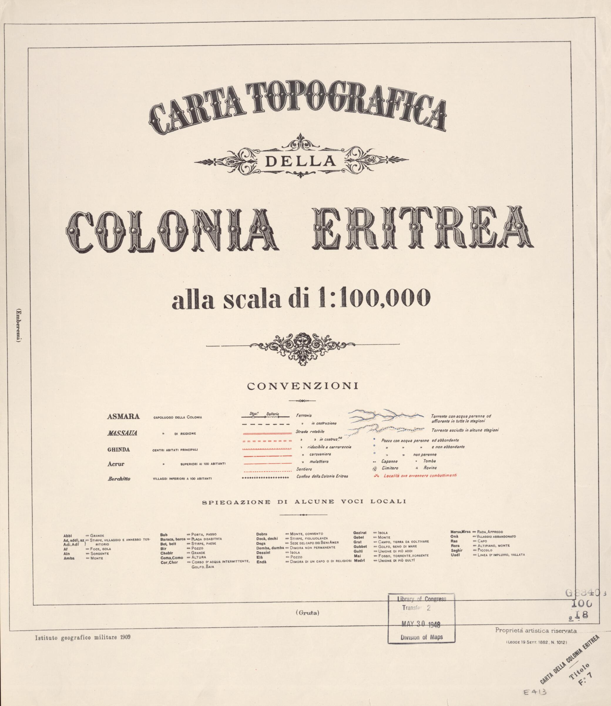
Carta Topografica Della Colonia Eritrea Alla Scala Di 1:100,000 (Title In Lower Right Margin of Each Sheet: Carta Della Colonia Eritrea, Carta Della Colonia Eritrea) 1909
- Regular price
-
$60.95 - Regular price
-
$55.95 - Sale price
-
$60.95
Buy one map, get any other map in our collection for 50% OFF! Add to cart to see discount.
Couldn't load pickup availability
About This Map
Discover the timeless beauty of our fine art quality printed reproduction of this antique map. Perfect for history enthusiasts, collectors, and interior decorators.
Restored with meticulous attention to detail by our team with over a decade of experience, this stunning reproduction captures the intricate artistry and historical significance of the original map.
Whether you're a collector or seeking a unique decor piece, this archival-quality map reproduction is a timeless addition to any space. Order now to bring history to life!
Old topographic map of Africa, Eritrea, Italy.day Eritrea in 1885. The Treaty of Wichale (Uccialli) of 1889 concluded with Emperor Menelik of Ethiopia, gave Italy sovereignty over the territory that the Italians called Eritrea, a name derived from Mare Erythraeum, the Roman designation for the Red Sea. Between 1890 and 1941, Italy sent thousands of settlers to the colony and developed its rail and road transport systems. These maps, used to assist in the colonization effort, came into the possession of the United States Army after World War II. Included in the series is an index map, created by the U.S. Army Map Service in January 1946. The British occupied Eritrea in 1941. At the end of war, Eritrea was federated with Ethiopia, but it became an independent state in 1993." World Digital Library.
Created by Istituto Geografico Militare (Italy), United States. Army Map Service in 1909.
- Accompanied by index map prepared by the United States Army Map Service, January 1946 (Army Map Service file no.: Eritrea S30-IGM-100) (col. ; 24 x 36 cm.).
- Includes glossary on title sheet.
- Relief shown by hachures, form lines, and spot heights.
- Some sheets include diagram indicating sources of compilation.
- Title from title sheet.
- For the best legibility, order your map in the original size or larger. Most maps have intricate detail and small text that is best appreciated when the print size hasn't been reduced.
- Sizes labeled "Fits a Standard Frame" will drop right into any frame that you purchase in that size. The sizes that we offer are commonly available online and at most retail stores.
- Our standard sizes are recommendations based on the aspect ratio of the original map, but still may require some added "white space" in one dimension to fit.
- Non-standard sizes will require custom framing, and we suggest taking your print to the frame shop of your choice after you receive it for the best results.
- Custom sizes are available, simply contact us for a quote.
Below is an approximation of the scale of a few standard sizes, and how they might appear in your space.

